Distance between  Tatong and
  ---1955- Tallangatta East---
73.17 mi Straight Distance
113.42 mi Driving Distance
2 hours 9 mins Estimated Driving Time
The straight distance between Tatong (Victoria) and ---1955- Tallangatta East--- (Victoria) is 73.17 mi, but the driving distance is 113.42 mi.
It takes to go from Tatong to ---1955- Tallangatta East---.
Driving directions from Tatong to ---1955- Tallangatta East---
Distance in kilometers
Straight distance: 117.73 km. Route distance: 182.49 km
Tatong, Australia
Latitude: -36.7308 // Longitude: 146.108
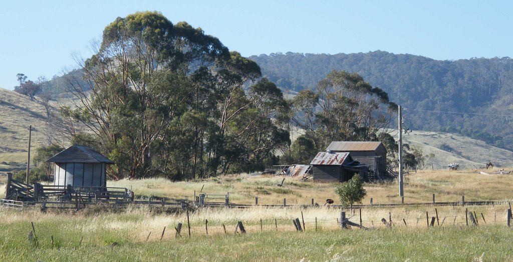
Photos of Tatong
Tatong Weather

Predicción: Broken clouds
Temperatura: 20.3°
Humedad: 37%
Hora actual: 12:00 AM
Amanece: 08:42 PM
Anochece: 07:47 AM
---1955- Tallangatta East---, Australia
Latitude: -36.2176 // Longitude: 147.26
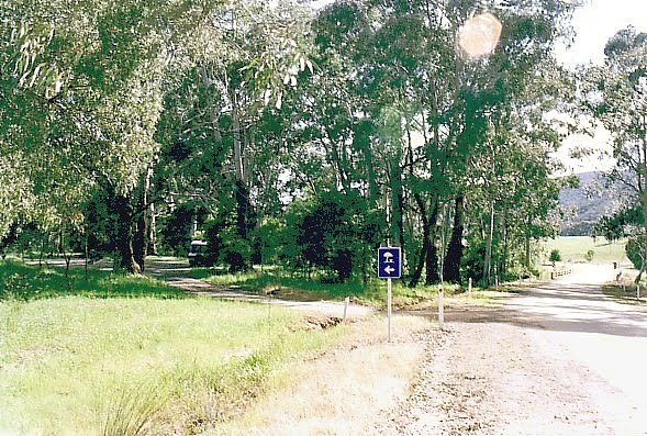
Photos of ---1955- Tallangatta East---
---1955- Tallangatta East--- Weather

Predicción: Scattered clouds
Temperatura: 22.0°
Humedad: 39%
Hora actual: 04:22 PM
Amanece: 06:36 AM
Anochece: 05:44 PM


