Distance between  Tatong and
  Goughs Bay
30.89 mi Straight Distance
55.08 mi Driving Distance
1 hour 9 mins Estimated Driving Time
The straight distance between Tatong (Victoria) and Goughs Bay (Victoria) is 30.89 mi, but the driving distance is 55.08 mi.
It takes to go from Tatong to Goughs Bay.
Driving directions from Tatong to Goughs Bay
Distance in kilometers
Straight distance: 49.70 km. Route distance: 88.62 km
Tatong, Australia
Latitude: -36.7308 // Longitude: 146.108
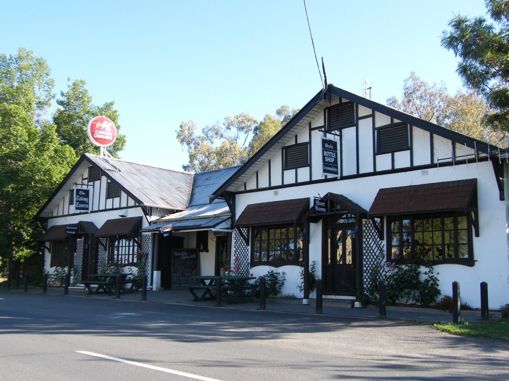
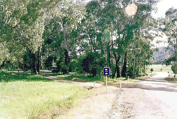
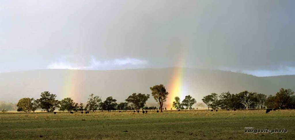
Photos of Tatong
Tatong Weather

Predicción: Scattered clouds
Temperatura: 15.5°
Humedad: 49%
Hora actual: 12:00 AM
Amanece: 08:44 PM
Anochece: 07:45 AM
Goughs Bay, Australia
Latitude: -37.177 // Longitude: 146.073
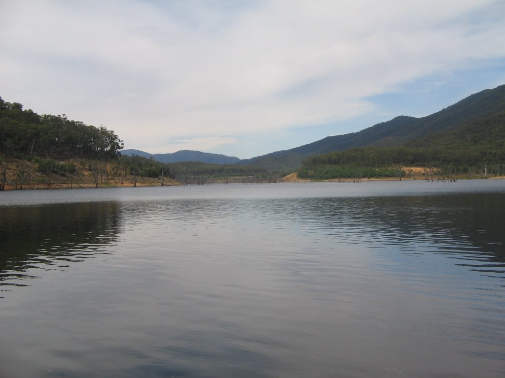
Photos of Goughs Bay
Goughs Bay Weather

Predicción: Overcast clouds
Temperatura: 13.8°
Humedad: 55%
Hora actual: 12:00 AM
Amanece: 08:44 PM
Anochece: 07:44 AM


