Distance between  Tarwin Lower and
  Balliang
101.66 mi Straight Distance
148.99 mi Driving Distance
2 hours 49 mins Estimated Driving Time
The straight distance between Tarwin Lower (Victoria) and Balliang (Victoria) is 101.66 mi, but the driving distance is 148.99 mi.
It takes to go from Tarwin Lower to Balliang.
Driving directions from Tarwin Lower to Balliang
Distance in kilometers
Straight distance: 163.56 km. Route distance: 239.73 km
Tarwin Lower, Australia
Latitude: -38.7015 // Longitude: 145.869
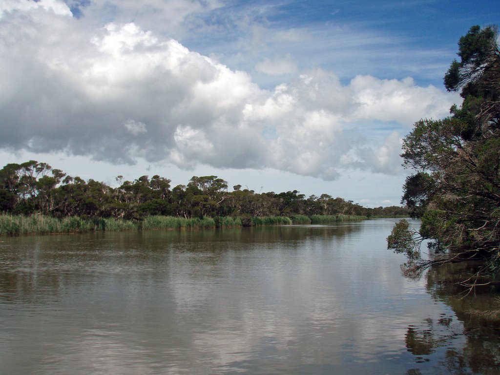
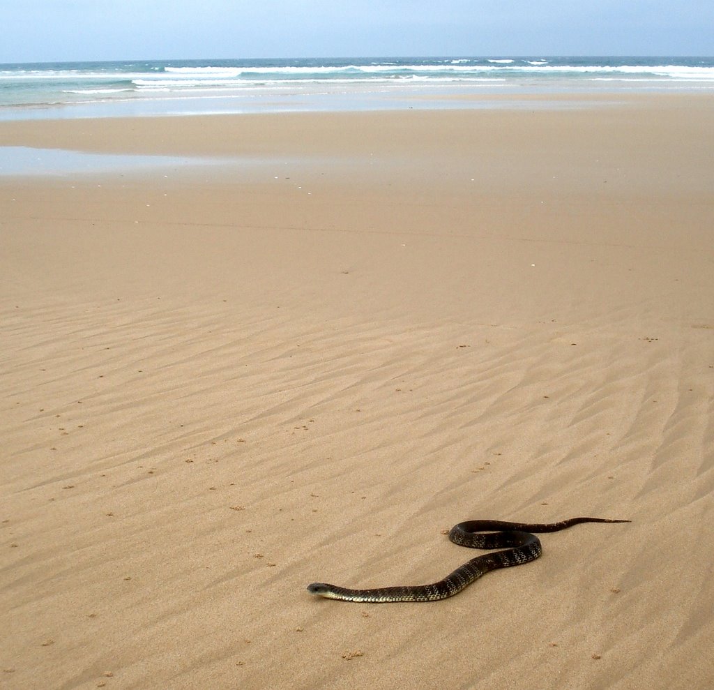
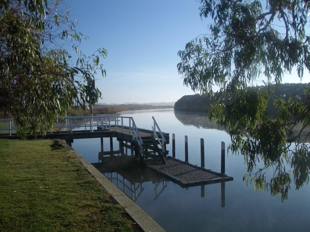
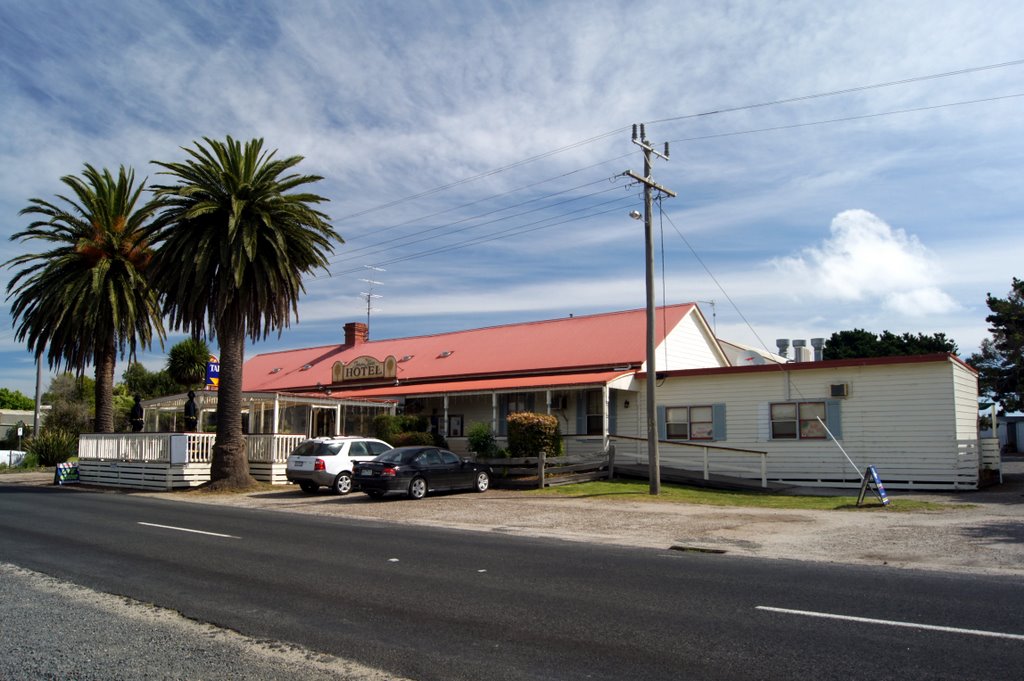
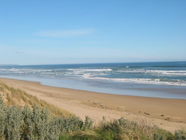
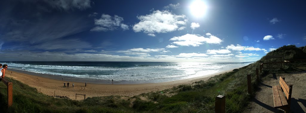
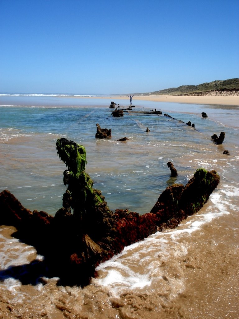
Photos of Tarwin Lower
Tarwin Lower Weather

Predicción: Overcast clouds
Temperatura: 13.1°
Humedad: 81%
Hora actual: 05:29 AM
Amanece: 06:48 AM
Anochece: 05:43 PM
Balliang, Australia
Latitude: -37.8323 // Longitude: 144.357
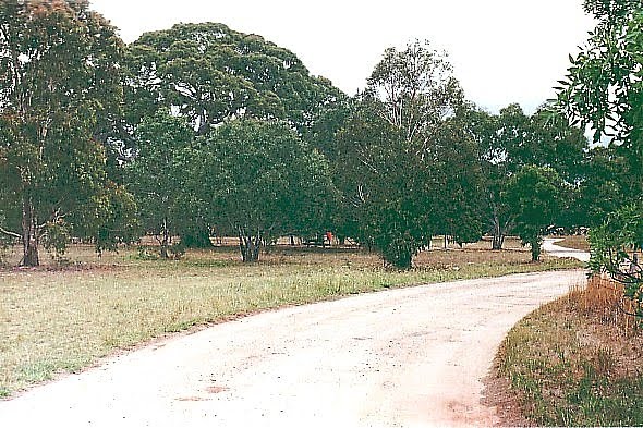
Photos of Balliang
Balliang Weather

Predicción: Overcast clouds
Temperatura: 10.8°
Humedad: 89%
Hora actual: 10:00 AM
Amanece: 06:53 AM
Anochece: 05:50 PM


