Distance between  Tarrone and
  Warrimoo
563.99 mi Straight Distance
724 mi Driving Distance
11 hours 38 mins Estimated Driving Time
The straight distance between Tarrone (Victoria) and Warrimoo (New South Wales) is 563.99 mi, but the driving distance is 724 mi.
It takes to go from Tarrone to Warrimoo.
Driving directions from Tarrone to Warrimoo
Distance in kilometers
Straight distance: 907.46 km. Route distance: 1,164.92 km
Tarrone, Australia
Latitude: -38.239 // Longitude: 142.191
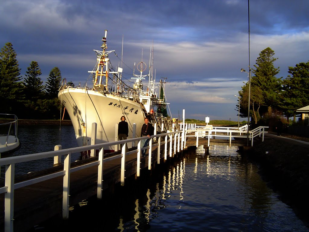
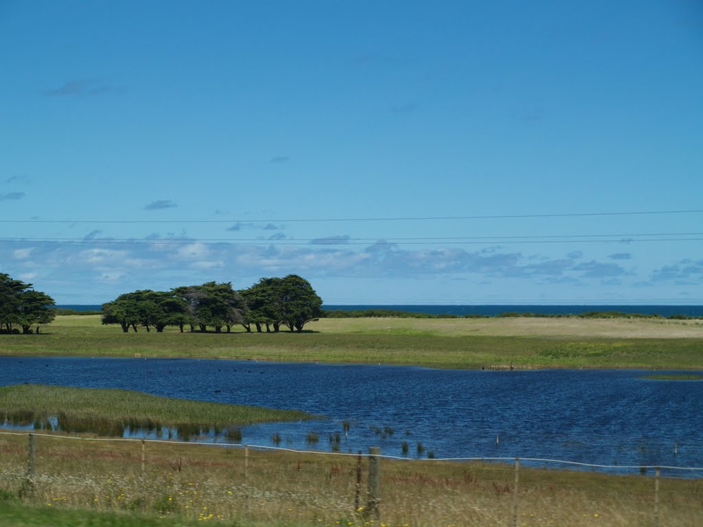
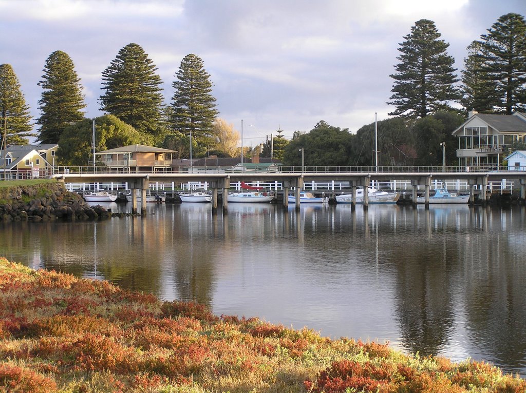
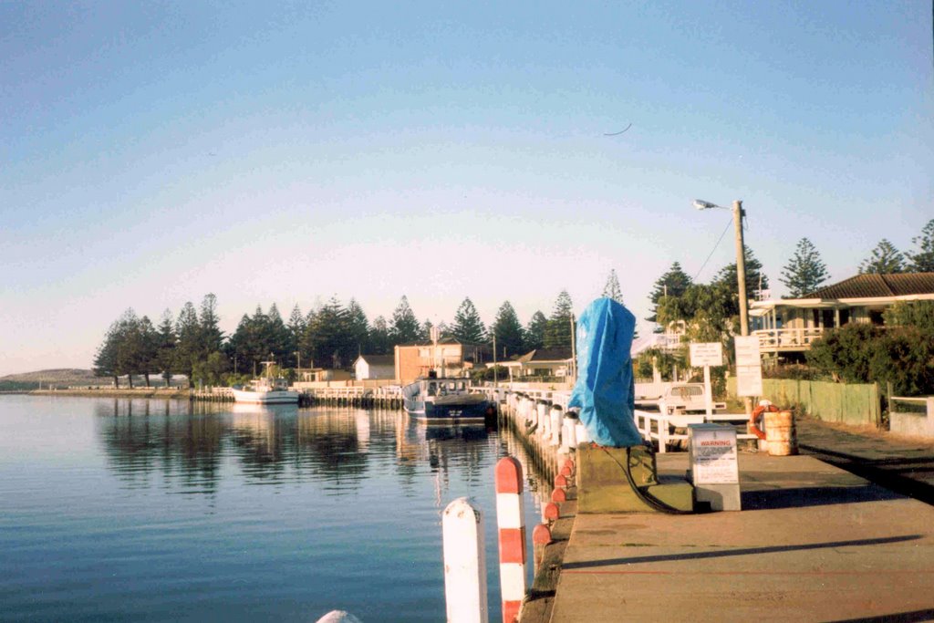
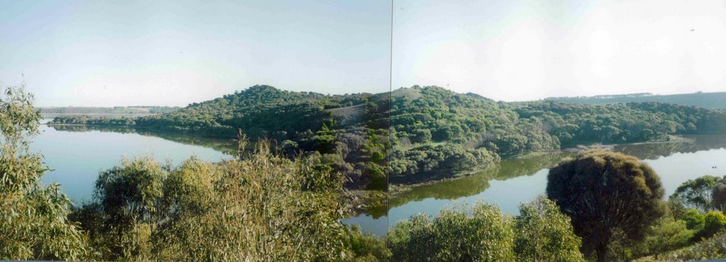
Photos of Tarrone
Tarrone Weather

Predicción: Overcast clouds
Temperatura: 12.2°
Humedad: 82%
Hora actual: 12:00 AM
Amanece: 09:01 PM
Anochece: 07:59 AM
Warrimoo, Australia
Latitude: -33.7217 // Longitude: 150.601
Photos of Warrimoo
Warrimoo Weather

Predicción: Clear sky
Temperatura: 10.8°
Humedad: 85%
Hora actual: 12:57 AM
Amanece: 06:23 AM
Anochece: 05:30 PM


