Distance between  Tarlee and
  Spalding
54.35 mi Straight Distance
58.08 mi Driving Distance
1 hour 4 mins Estimated Driving Time
The straight distance between Tarlee (South Australia) and Spalding (South Australia) is 54.35 mi, but the driving distance is 58.08 mi.
It takes 1 day 7 hours to go from Tarlee to Spalding.
Driving directions from Tarlee to Spalding
Distance in kilometers
Straight distance: 87.45 km. Route distance: 93.45 km
Tarlee, Australia
Latitude: -34.274 // Longitude: 138.771
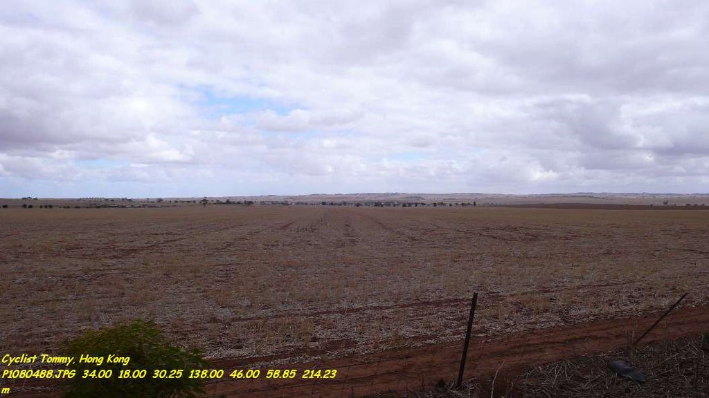
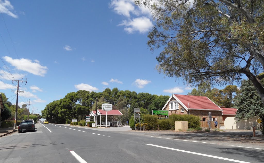
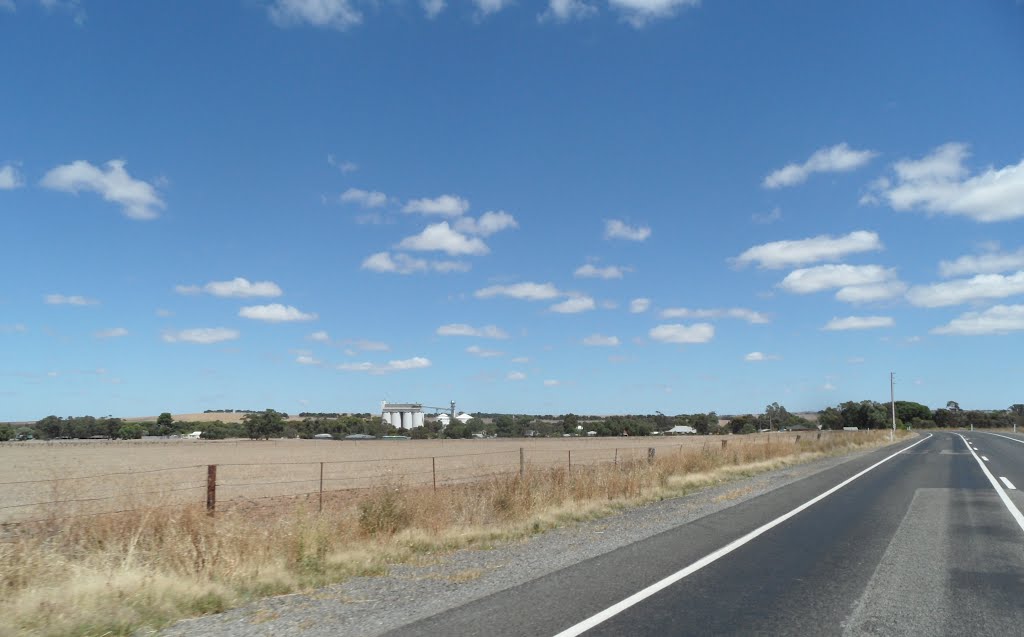
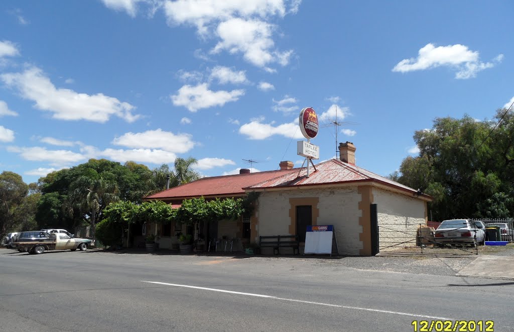
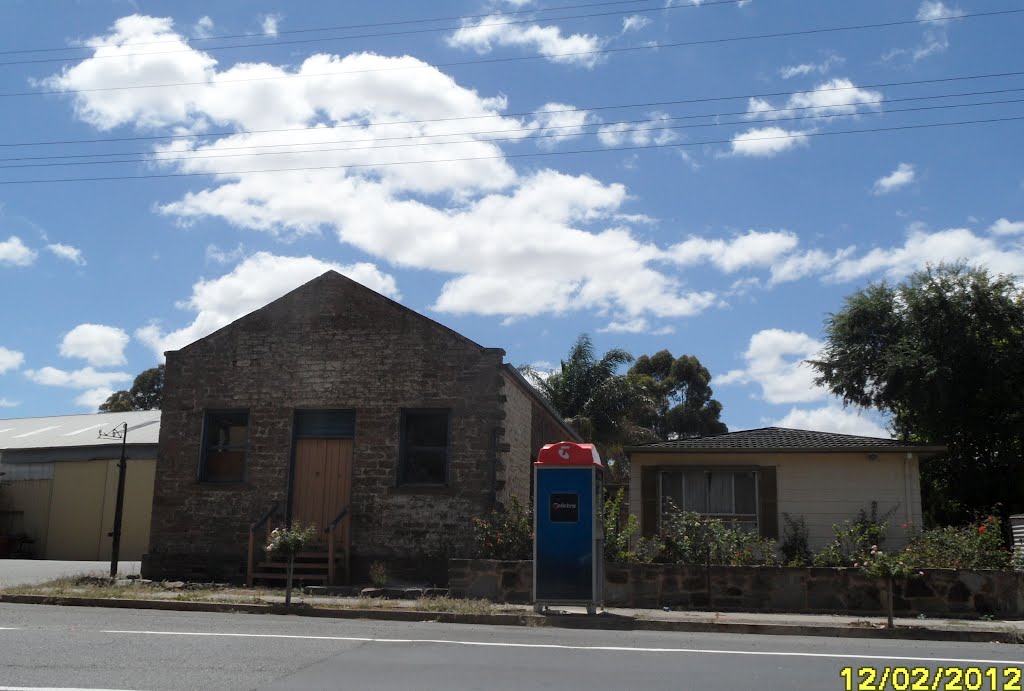
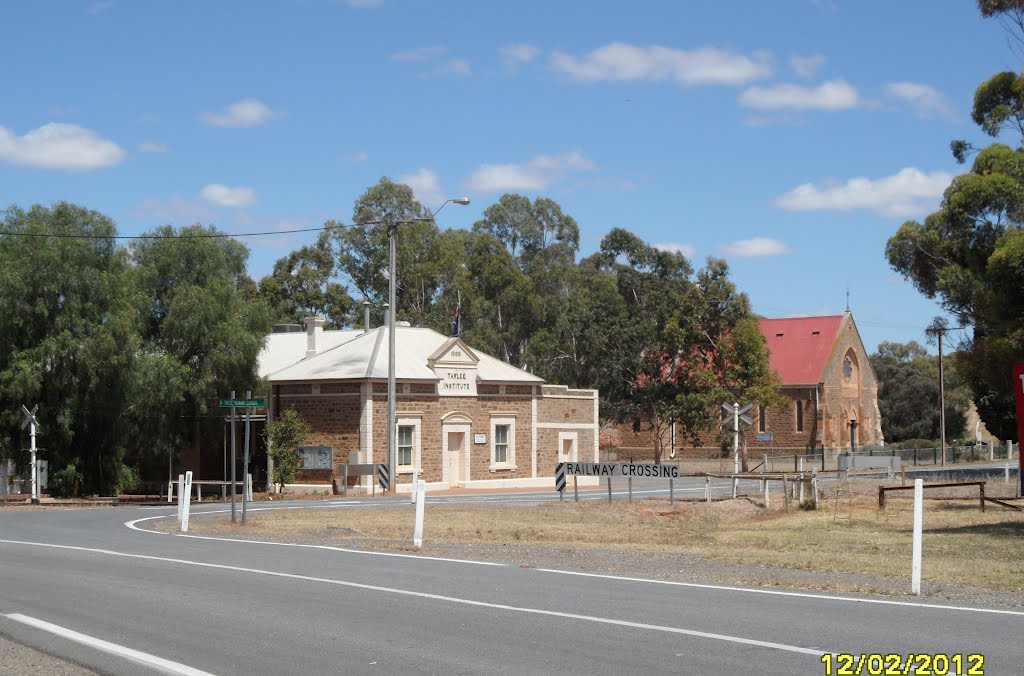
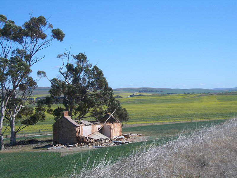
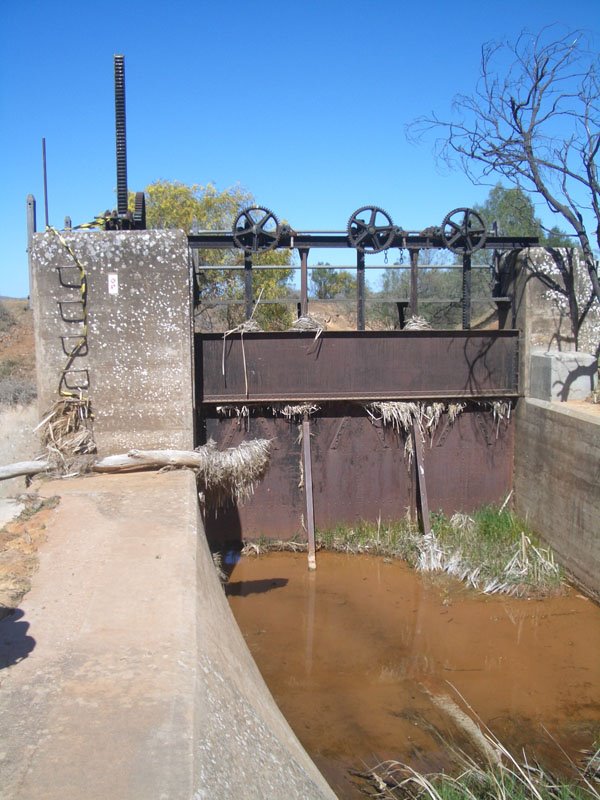
Photos of Tarlee
Tarlee Weather

Predicción: Few clouds
Temperatura: 14.2°
Humedad: 75%
Hora actual: 12:00 AM
Amanece: 09:09 PM
Anochece: 08:19 AM
Spalding, Australia
Latitude: -33.4991 // Longitude: 138.608
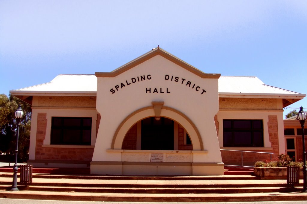
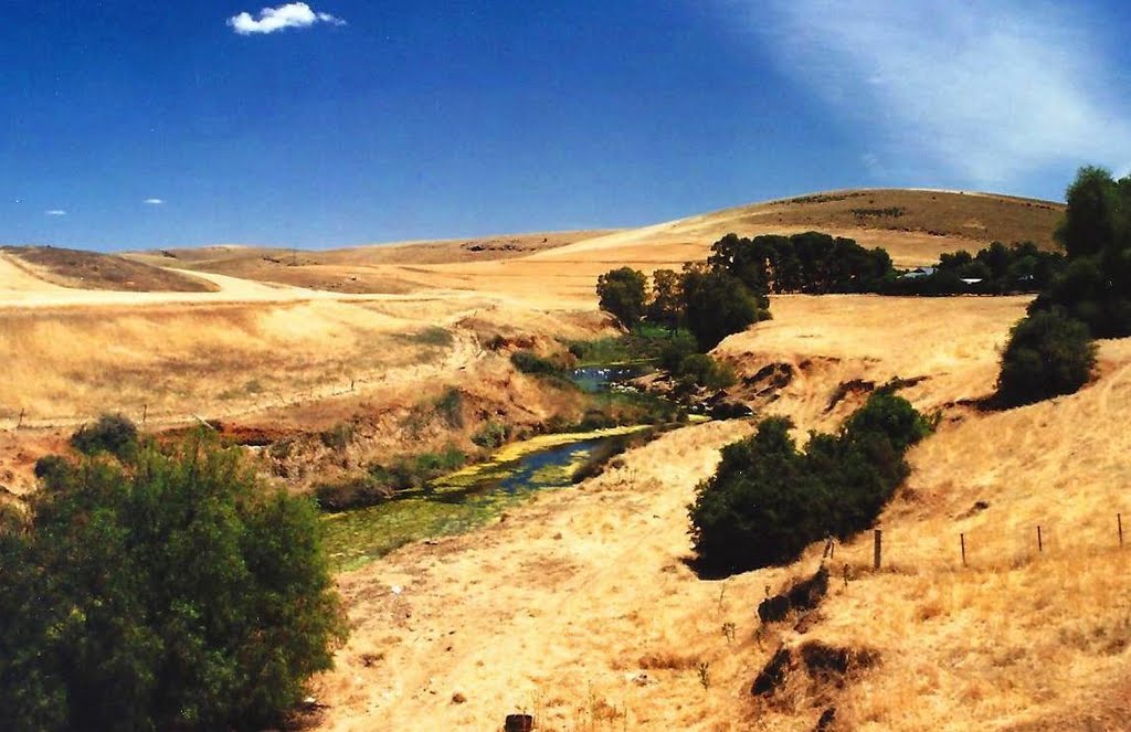
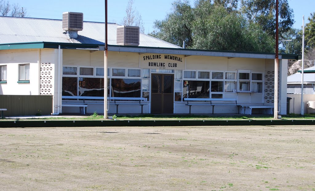
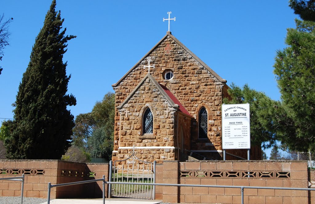
Photos of Spalding
Spalding Weather

Predicción: Clear sky
Temperatura: 13.3°
Humedad: 79%
Hora actual: 12:00 AM
Amanece: 09:09 PM
Anochece: 08:21 AM


