Distance between  Tarcombe and
  Muckatah
67.76 mi Straight Distance
84 mi Driving Distance
2 hours 6 mins Estimated Driving Time
The straight distance between Tarcombe (Victoria) and Muckatah (Victoria) is 67.76 mi, but the driving distance is 84 mi.
It takes 2 hours 0 mins to go from Tarcombe to Muckatah.
Driving directions from Tarcombe to Muckatah
Distance in kilometers
Straight distance: 109.03 km. Route distance: 135.15 km
Tarcombe, Australia
Latitude: -36.975 // Longitude: 145.402
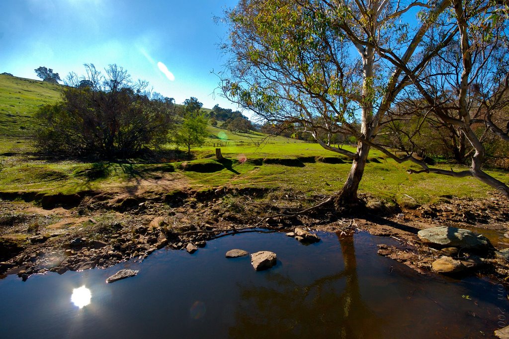
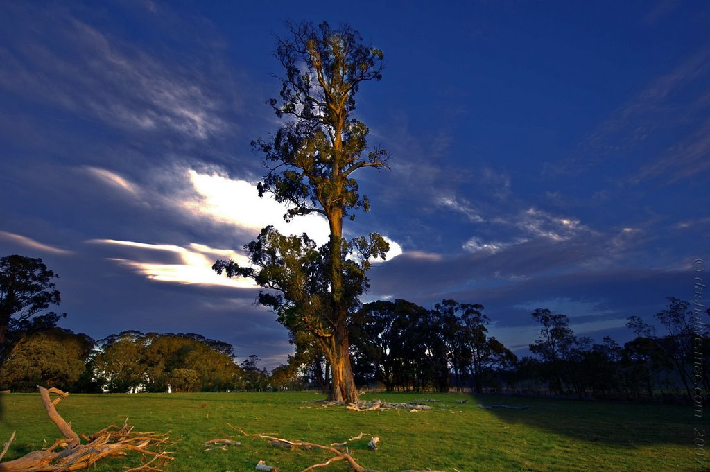
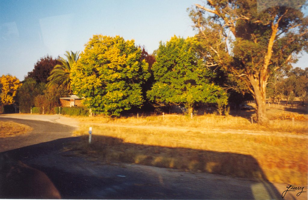
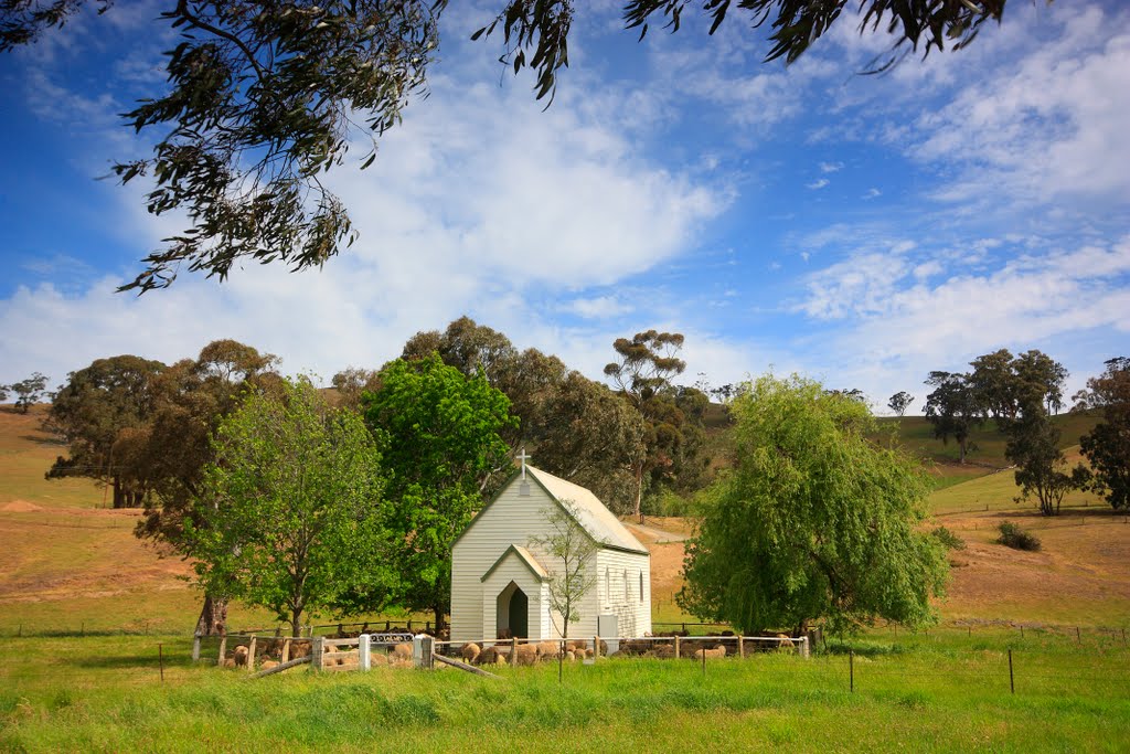
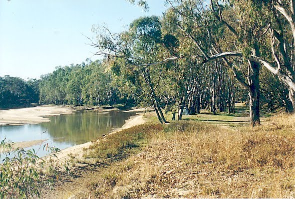
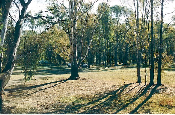
Photos of Tarcombe
Tarcombe Weather

Predicción: Overcast clouds
Temperatura: 8.4°
Humedad: 94%
Hora actual: 12:00 AM
Amanece: 08:45 PM
Anochece: 07:50 AM
Muckatah, Australia
Latitude: -36.0144 // Longitude: 145.648
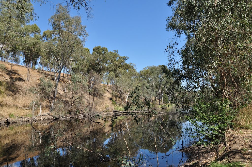
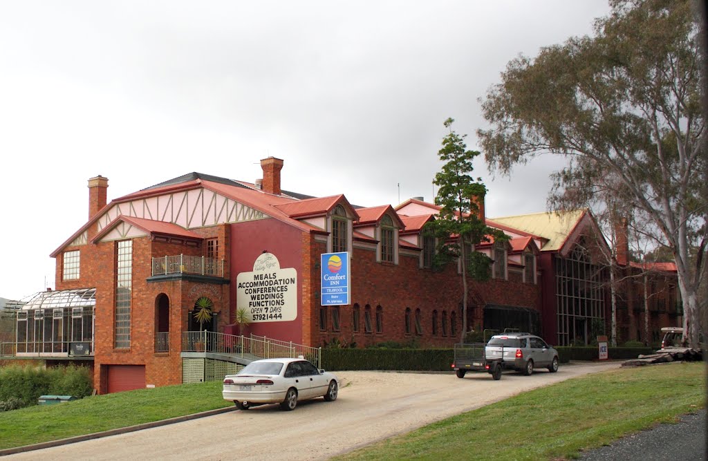
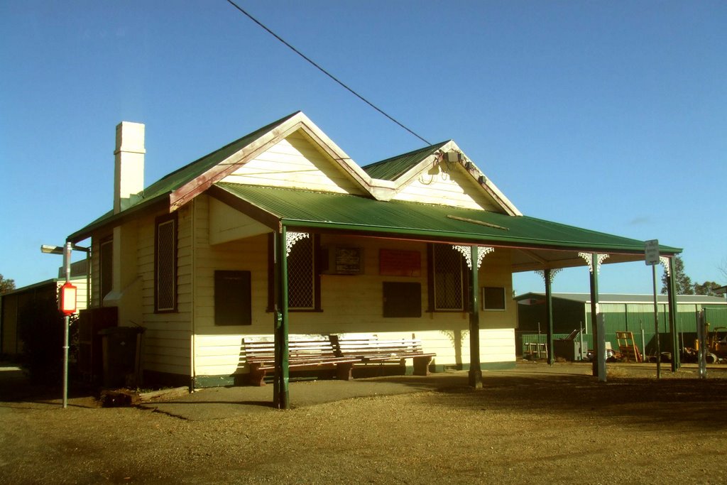
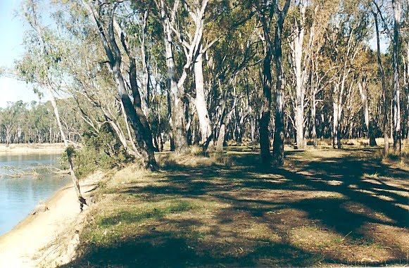
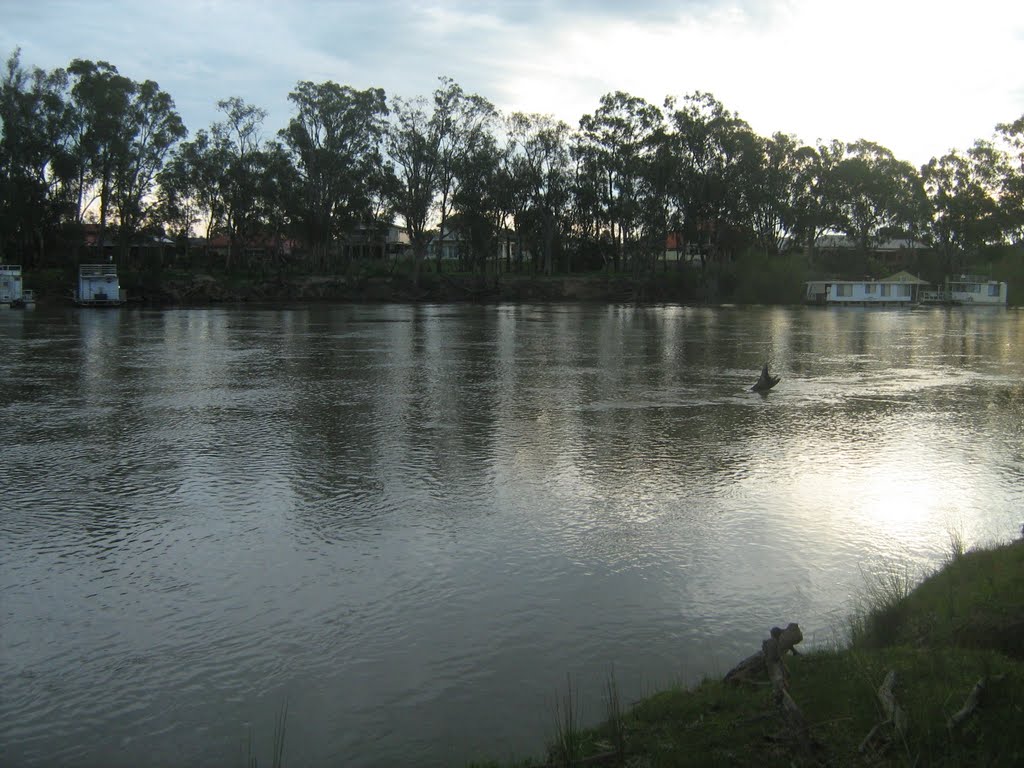
Photos of Muckatah
Muckatah Weather

Predicción: Broken clouds
Temperatura: 10.6°
Humedad: 81%
Hora actual: 12:00 AM
Amanece: 08:43 PM
Anochece: 07:50 AM


