Distance between  Taranganba and
  Roadvale
351.16 mi Straight Distance
469.60 mi Driving Distance
8 hours 49 mins Estimated Driving Time
The straight distance between Taranganba (Queensland) and Roadvale (Queensland) is 351.16 mi, but the driving distance is 469.60 mi.
It takes 8 hours 51 mins to go from Taranganba to Roadvale.
Driving directions from Taranganba to Roadvale
Distance in kilometers
Straight distance: 565.02 km. Route distance: 755.59 km
Taranganba, Australia
Latitude: -23.1447 // Longitude: 150.754
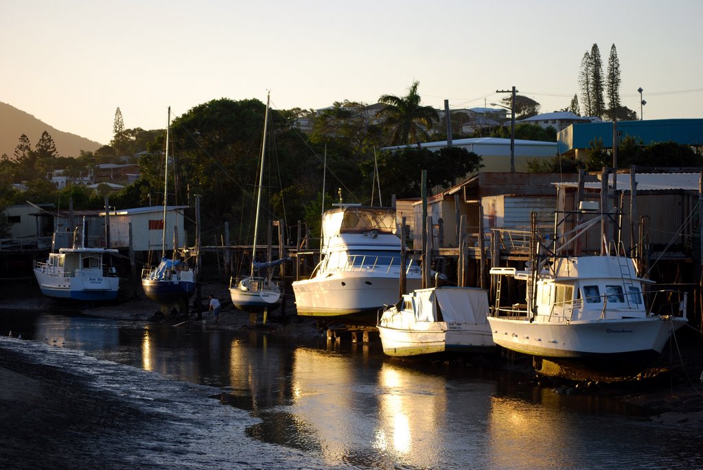
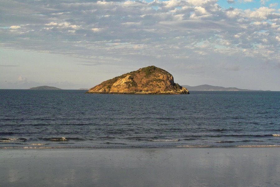
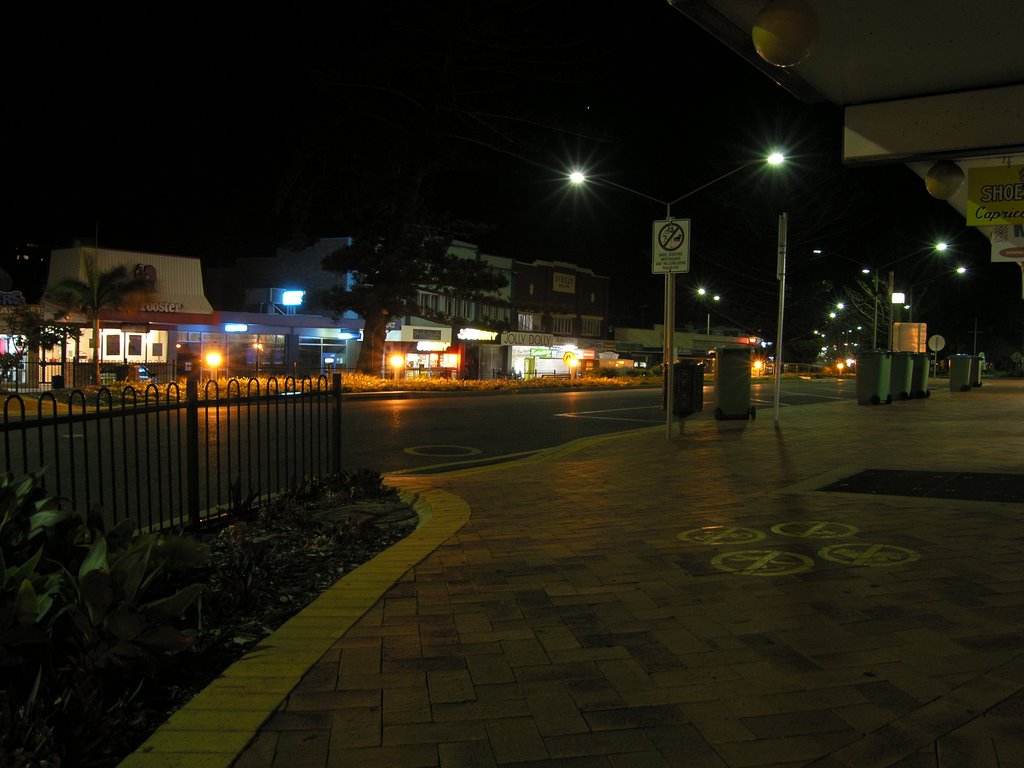
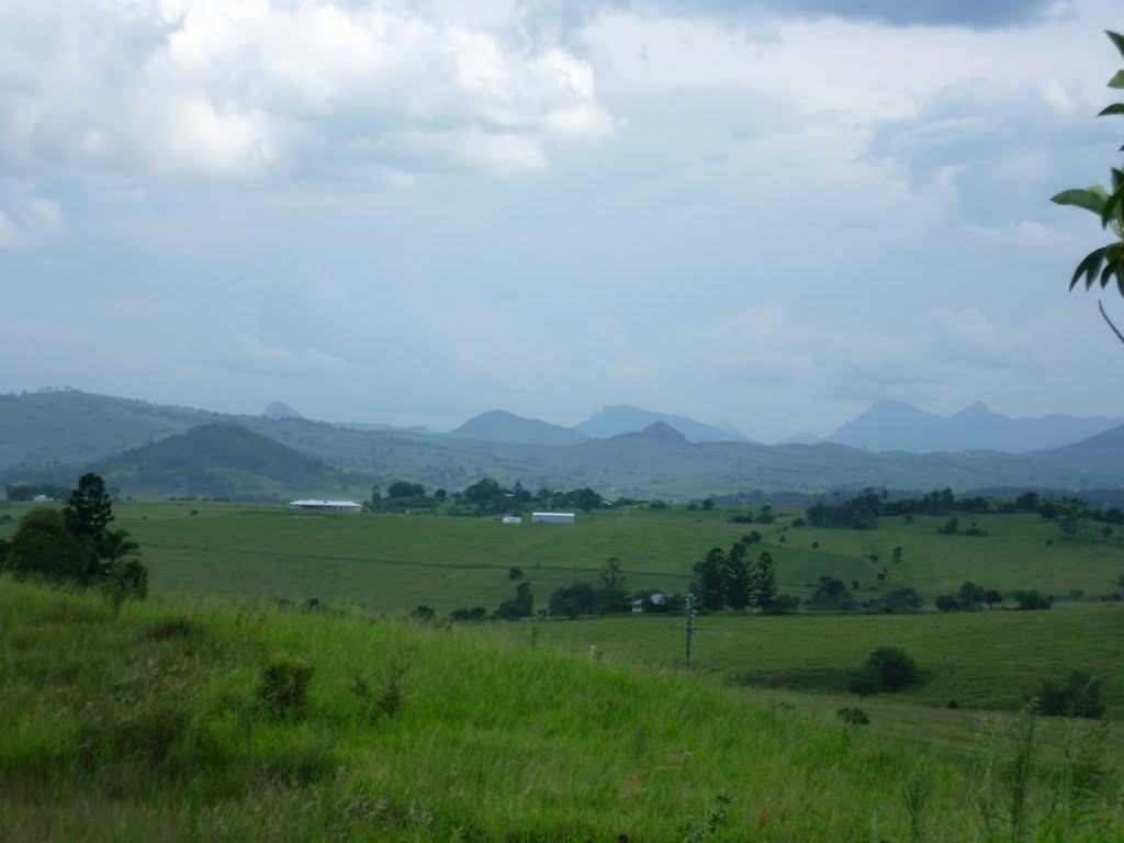
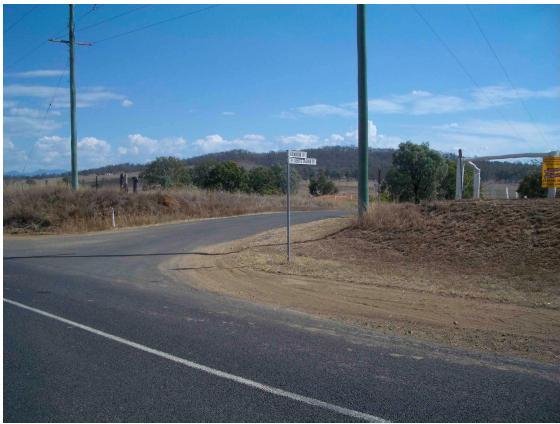
Photos of Taranganba
Taranganba Weather

Predicción: Scattered clouds
Temperatura: 22.9°
Humedad: 87%
Hora actual: 12:27 AM
Amanece: 06:11 AM
Anochece: 05:41 PM
Roadvale, Australia
Latitude: -27.9178 // Longitude: 152.69
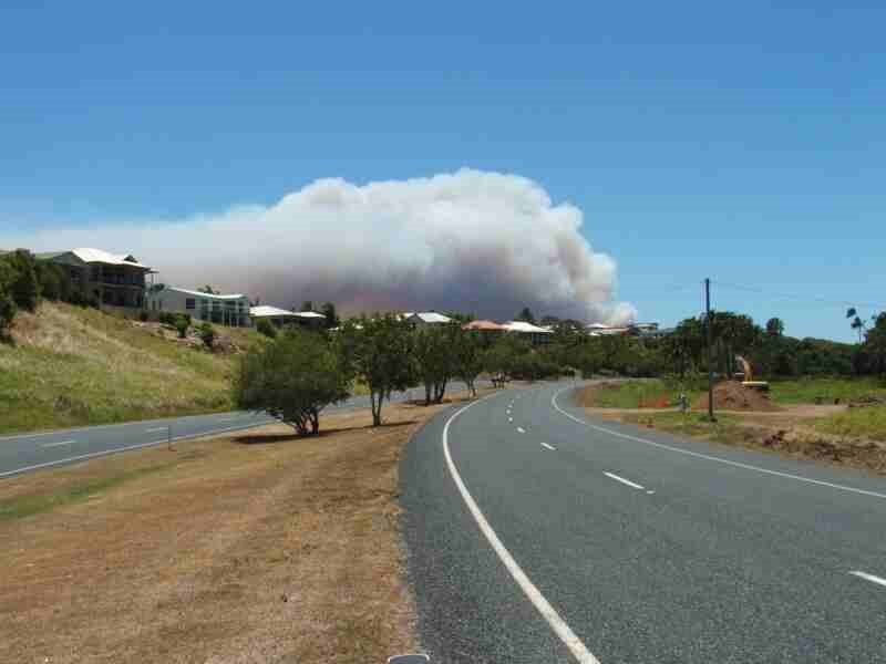
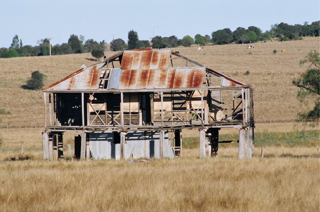
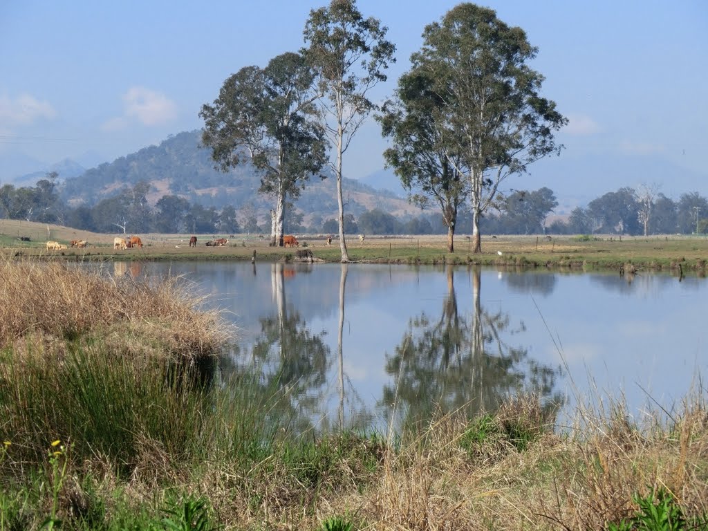
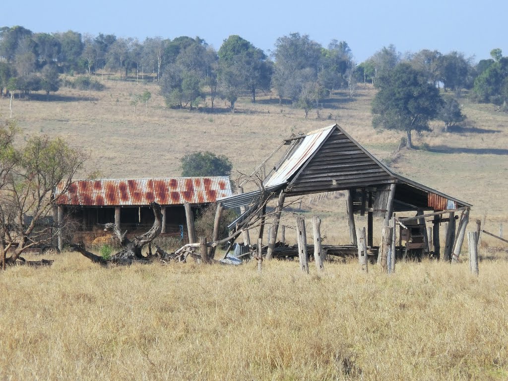
Photos of Roadvale
Roadvale Weather

Predicción: Light rain
Temperatura: 16.5°
Humedad: 87%
Hora actual: 12:27 AM
Amanece: 06:07 AM
Anochece: 05:29 PM


