Distance between  Tanwood and
  Rathscar West
5.36 mi Straight Distance
8.17 mi Driving Distance
13 minutes Estimated Driving Time
The straight distance between Tanwood (Victoria) and Rathscar West (Victoria) is 5.36 mi, but the driving distance is 8.17 mi.
It takes to go from Tanwood to Rathscar West.
Driving directions from Tanwood to Rathscar West
Distance in kilometers
Straight distance: 8.62 km. Route distance: 13.14 km
Tanwood, Australia
Latitude: -37.0063 // Longitude: 143.388
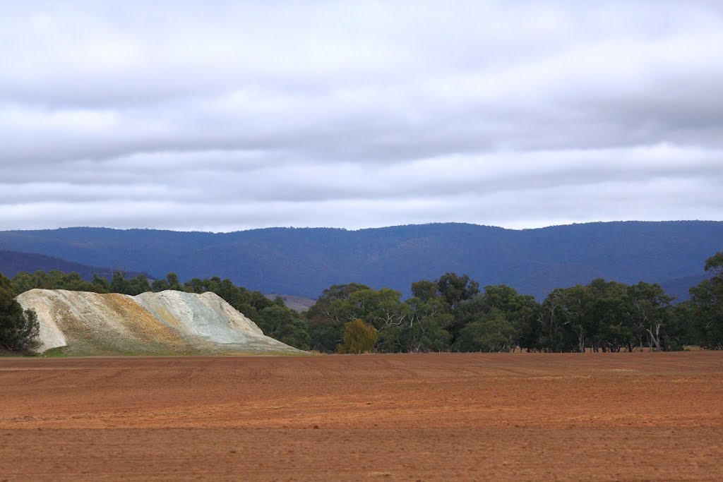
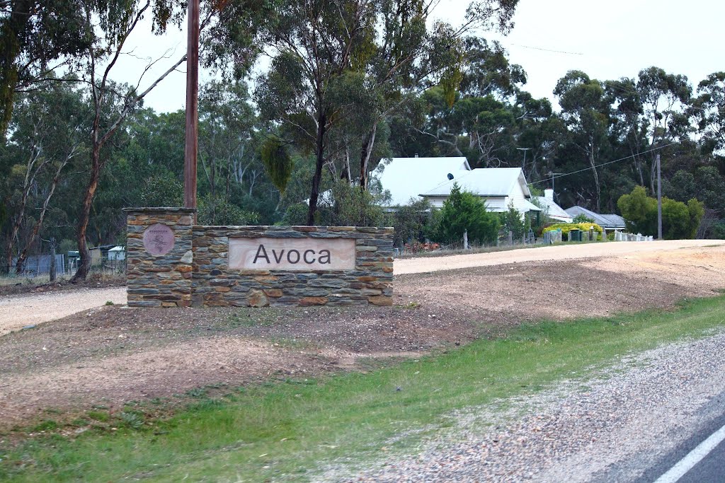
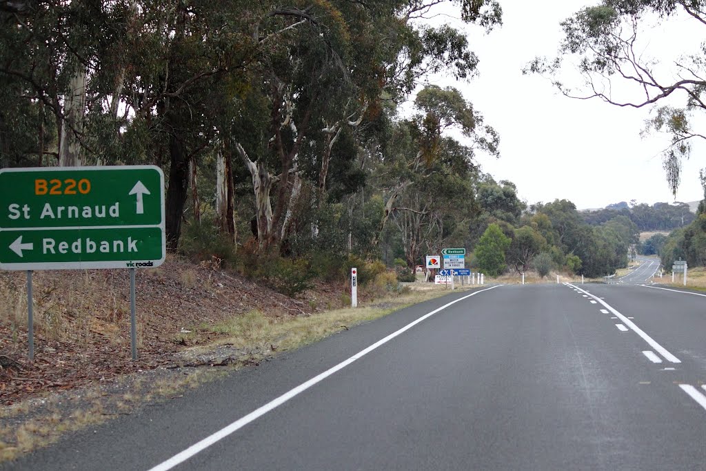
Photos of Tanwood
Tanwood Weather

Predicción: Overcast clouds
Temperatura: 12.3°
Humedad: 75%
Hora actual: 12:00 AM
Amanece: 08:55 PM
Anochece: 07:55 AM
Rathscar West, Australia
Latitude: -37.0028 // Longitude: 143.485
Photos of Rathscar West
Rathscar West Weather

Predicción: Overcast clouds
Temperatura: 12.5°
Humedad: 74%
Hora actual: 12:00 AM
Amanece: 08:55 PM
Anochece: 07:55 AM


