Distance between  Tantaraboo and
  Grovedale
72.36 mi Straight Distance
98.12 mi Driving Distance
1 hour 56 mins Estimated Driving Time
The straight distance between Tantaraboo (Victoria) and Grovedale (Victoria) is 72.36 mi, but the driving distance is 98.12 mi.
It takes to go from Tantaraboo to Grovedale.
Driving directions from Tantaraboo to Grovedale
Distance in kilometers
Straight distance: 116.42 km. Route distance: 157.87 km
Tantaraboo, Australia
Latitude: -37.2315 // Longitude: 144.826
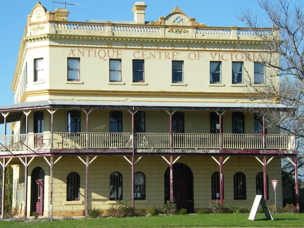
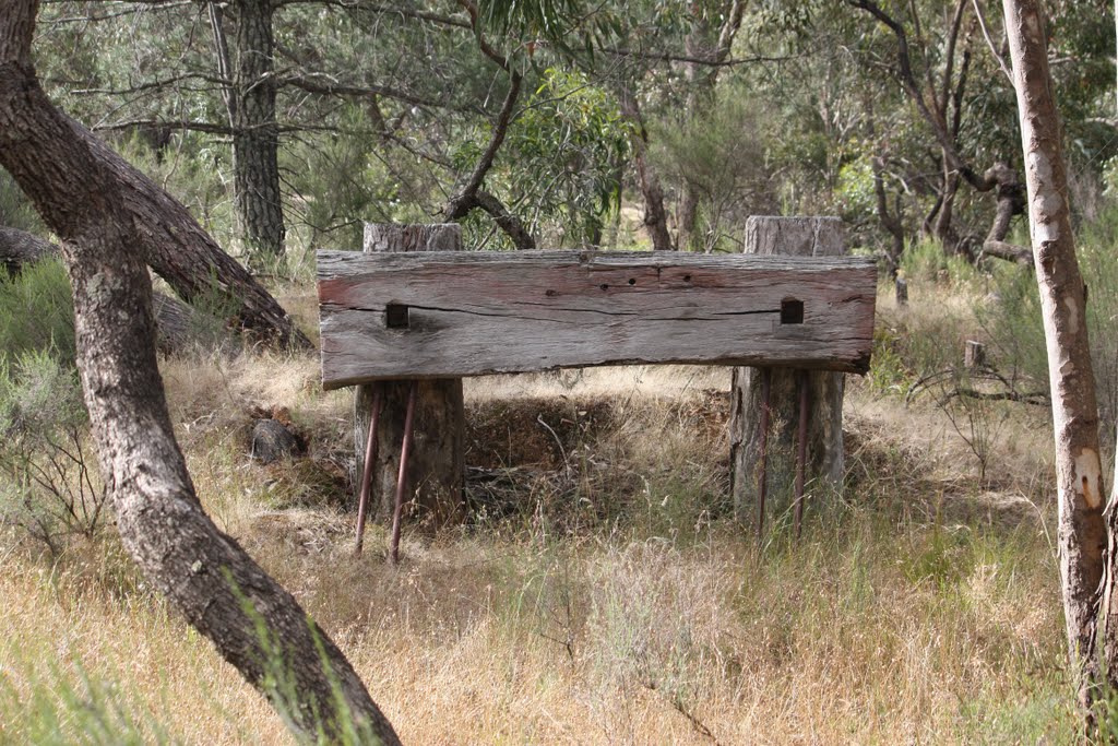
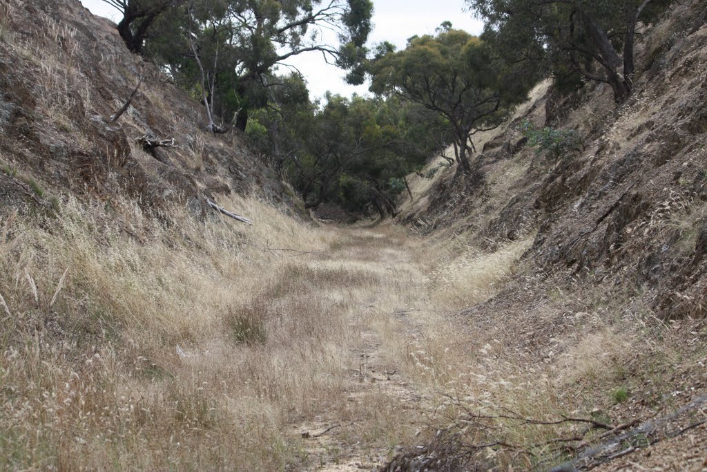
Photos of Tantaraboo
Tantaraboo Weather

Predicción: Overcast clouds
Temperatura: 9.6°
Humedad: 67%
Hora actual: 12:00 AM
Amanece: 08:49 PM
Anochece: 07:49 AM
Grovedale, Australia
Latitude: -38.1992 // Longitude: 144.32
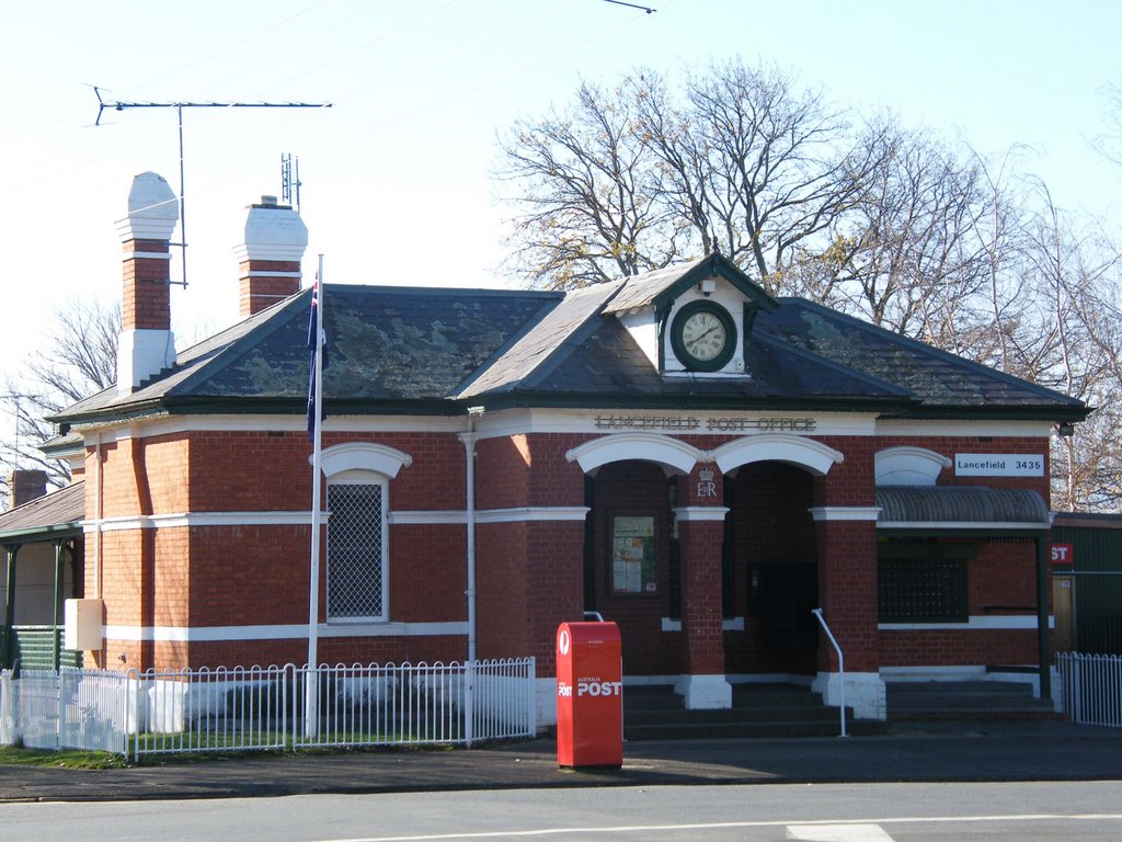
Photos of Grovedale
Grovedale Weather

Predicción: Overcast clouds
Temperatura: 13.0°
Humedad: 92%
Hora actual: 08:56 PM
Amanece: 06:52 AM
Anochece: 05:51 PM


