Distance between  Tantanoola and
  McCracken
179.95 mi Straight Distance
290 mi Driving Distance
4 hours 41 mins Estimated Driving Time
The straight distance between Tantanoola (South Australia) and McCracken (South Australia) is 179.95 mi, but the driving distance is 290 mi.
It takes to go from Tantanoola to McCracken.
Driving directions from Tantanoola to McCracken
Distance in kilometers
Straight distance: 289.53 km. Route distance: 466.62 km
Tantanoola, Australia
Latitude: -37.6961 // Longitude: 140.456
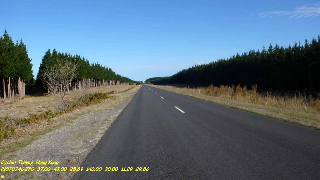
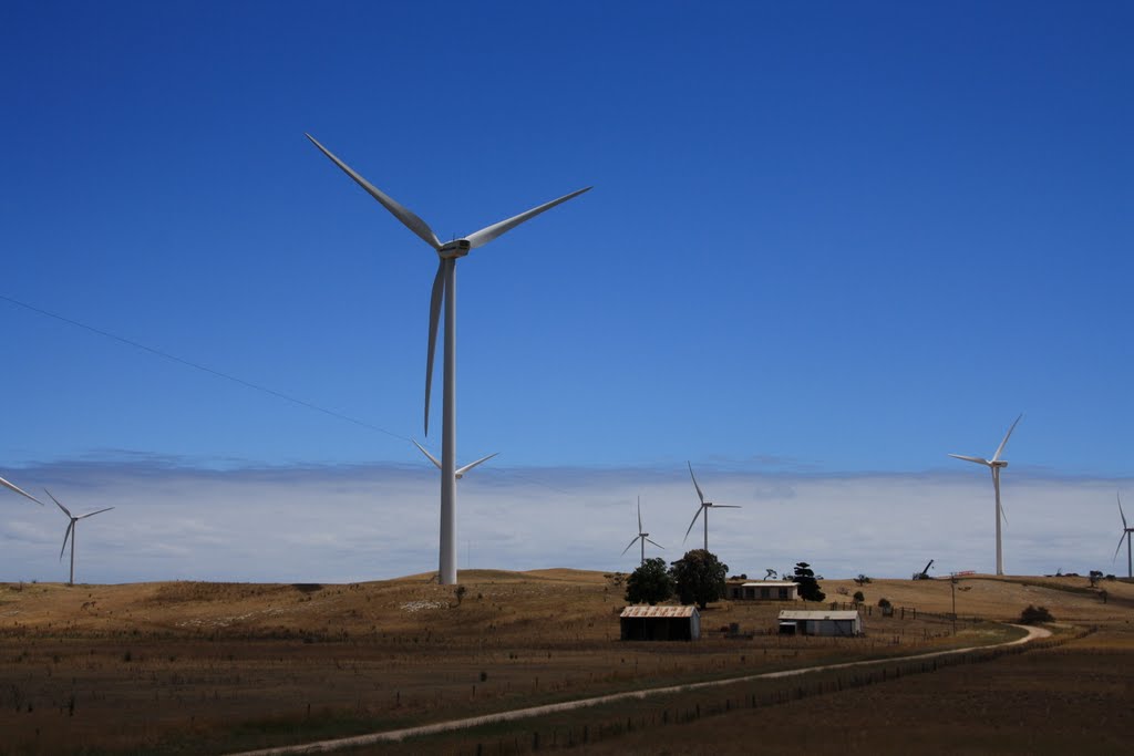
Photos of Tantanoola
Tantanoola Weather

Predicción: Broken clouds
Temperatura: 16.7°
Humedad: 52%
Hora actual: 12:00 AM
Amanece: 09:08 PM
Anochece: 08:05 AM
McCracken, Australia
Latitude: -35.5387 // Longitude: 138.638
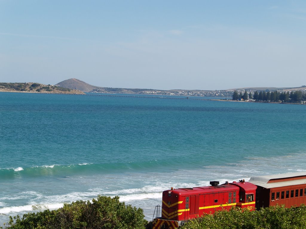
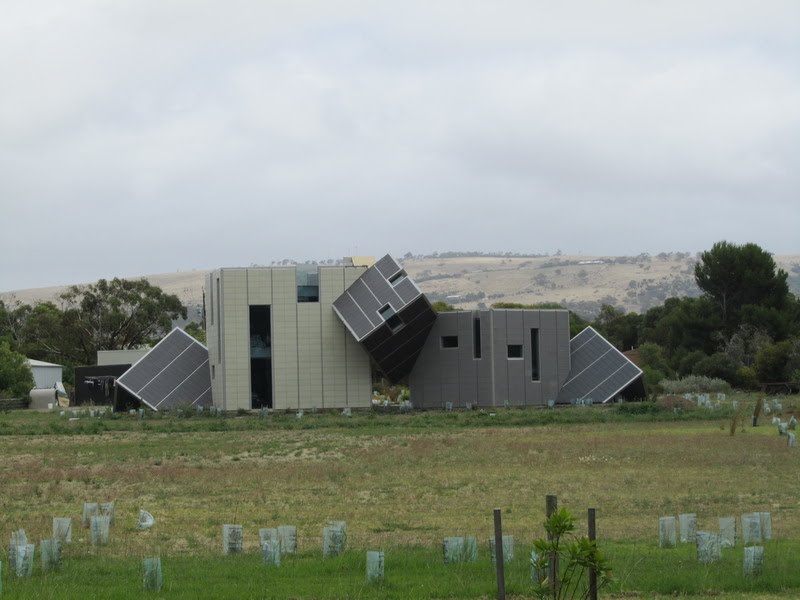
Photos of McCracken
McCracken Weather

Predicción: Overcast clouds
Temperatura: 16.4°
Humedad: 77%
Hora actual: 10:51 AM
Amanece: 06:43 AM
Anochece: 05:45 PM


