Distance between  Tangambalanga and
  Flamingo Beach
140.57 mi Straight Distance
214.44 mi Driving Distance
4 hours 11 mins Estimated Driving Time
The straight distance between Tangambalanga (Victoria) and Flamingo Beach (Victoria) is 140.57 mi, but the driving distance is 214.44 mi.
It takes to go from Tangambalanga to Flamingo Beach.
Driving directions from Tangambalanga to Flamingo Beach
Distance in kilometers
Straight distance: 226.17 km. Route distance: 345.03 km
Tangambalanga, Australia
Latitude: -36.2516 // Longitude: 147.027
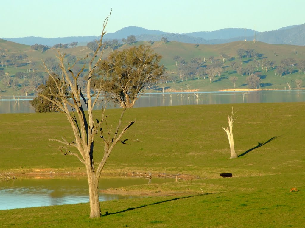
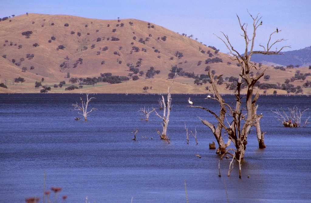
Photos of Tangambalanga
Tangambalanga Weather

Predicción: Overcast clouds
Temperatura: 11.0°
Humedad: 88%
Hora actual: 05:02 AM
Amanece: 06:40 AM
Anochece: 05:41 PM
Flamingo Beach, Australia
Latitude: -38.2729 // Longitude: 147.317
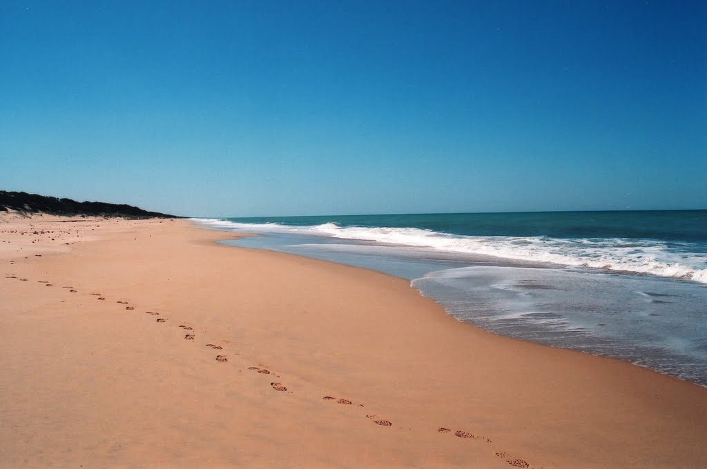
Photos of Flamingo Beach
Flamingo Beach Weather

Predicción: Scattered clouds
Temperatura: 10.9°
Humedad: 93%
Hora actual: 10:00 AM
Amanece: 06:41 AM
Anochece: 05:37 PM


