Distance between  Tamleugh and
  Everton Upper
52.52 mi Straight Distance
61.26 mi Driving Distance
1 hour 2 mins Estimated Driving Time
The straight distance between Tamleugh (Victoria) and Everton Upper (Victoria) is 52.52 mi, but the driving distance is 61.26 mi.
It takes to go from Tamleugh to Everton Upper.
Driving directions from Tamleugh to Everton Upper
Distance in kilometers
Straight distance: 84.51 km. Route distance: 98.57 km
Tamleugh, Australia
Latitude: -36.5996 // Longitude: 145.629
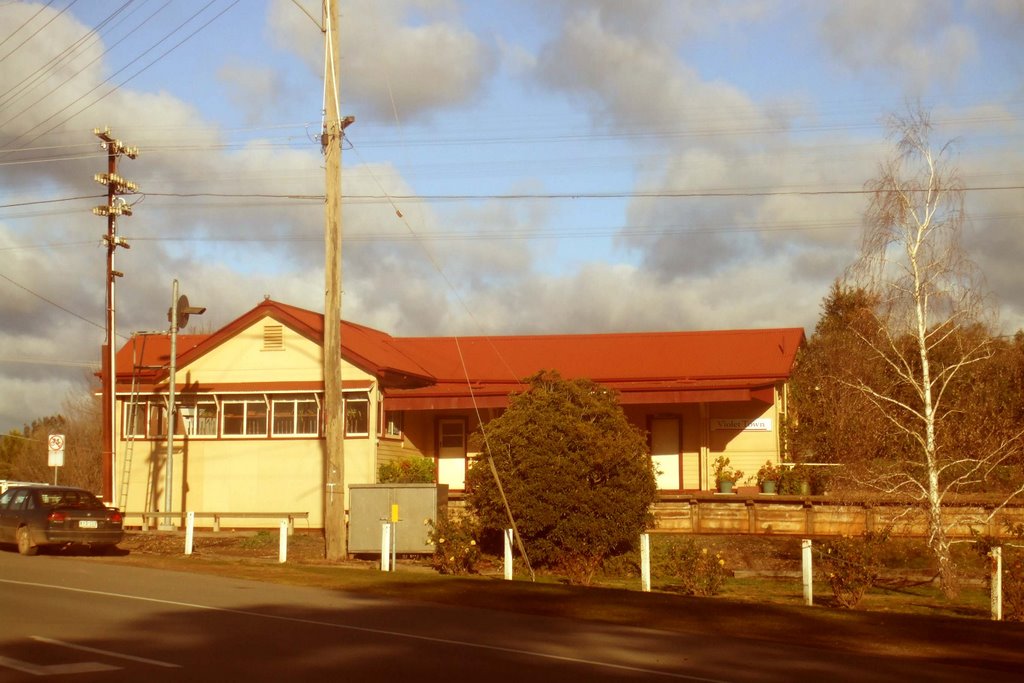
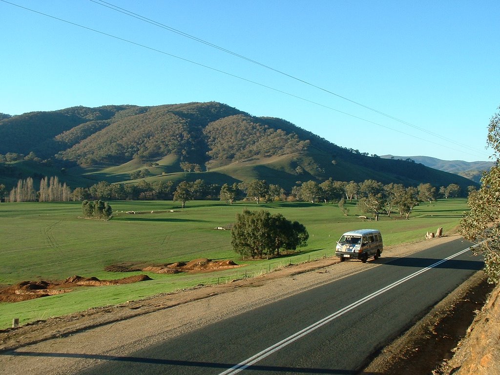
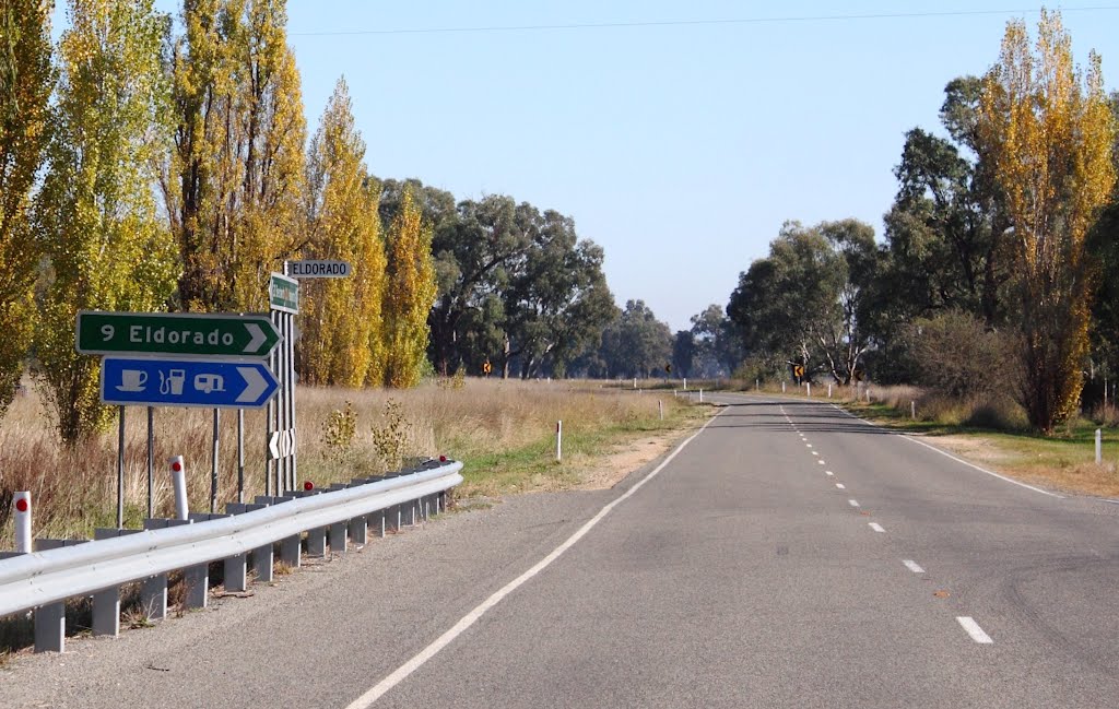
Photos of Tamleugh
Tamleugh Weather

Predicción: Overcast clouds
Temperatura: 16.9°
Humedad: 58%
Hora actual: 09:39 AM
Amanece: 06:44 AM
Anochece: 05:49 PM
Everton Upper, Australia
Latitude: -36.4046 // Longitude: 146.543
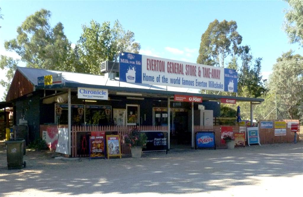
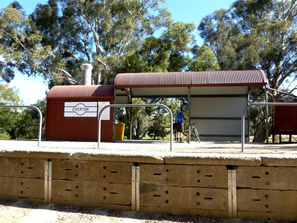
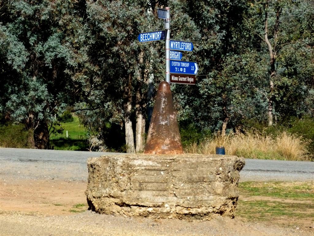
Photos of Everton Upper
Everton Upper Weather

Predicción: Overcast clouds
Temperatura: 17.0°
Humedad: 50%
Hora actual: 10:00 AM
Amanece: 06:40 AM
Anochece: 05:45 PM


