Distance between  Taminick and
  Sandy Creek
431.96 mi Straight Distance
528.89 mi Driving Distance
8 hours 45 mins Estimated Driving Time
The straight distance between Taminick (Victoria) and Sandy Creek (South Australia) is 431.96 mi, but the driving distance is 528.89 mi.
It takes to go from Taminick to Sandy Creek.
Driving directions from Taminick to Sandy Creek
Distance in kilometers
Straight distance: 695.03 km. Route distance: 850.99 km
Taminick, Australia
Latitude: -36.4085 // Longitude: 146.181
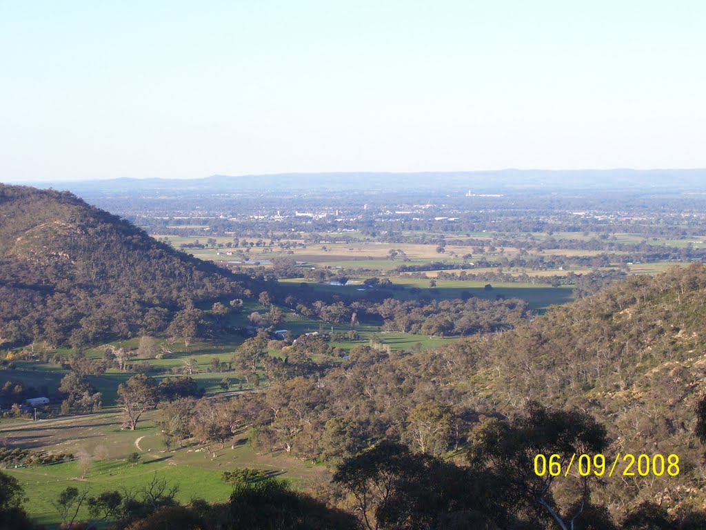
Photos of Taminick
Taminick Weather

Predicción: Scattered clouds
Temperatura: 15.6°
Humedad: 57%
Hora actual: 09:57 AM
Amanece: 06:44 AM
Anochece: 05:44 PM
Sandy Creek, Australia
Latitude: -34.6026 // Longitude: 138.826
Photos of Sandy Creek
Sandy Creek Weather

Predicción: Broken clouds
Temperatura: 14.2°
Humedad: 81%
Hora actual: 09:27 AM
Amanece: 06:41 AM
Anochece: 05:46 PM


