Distance between  Tambar Springs and
  Stony Crossing
443.98 mi Straight Distance
556.25 mi Driving Distance
9 hours 8 mins Estimated Driving Time
The straight distance between Tambar Springs (New South Wales) and Stony Crossing (New South Wales) is 443.98 mi, but the driving distance is 556.25 mi.
It takes to go from Tambar Springs to Stony Crossing.
Driving directions from Tambar Springs to Stony Crossing
Distance in kilometers
Straight distance: 714.37 km. Route distance: 895.01 km
Tambar Springs, Australia
Latitude: -31.3418 // Longitude: 149.83
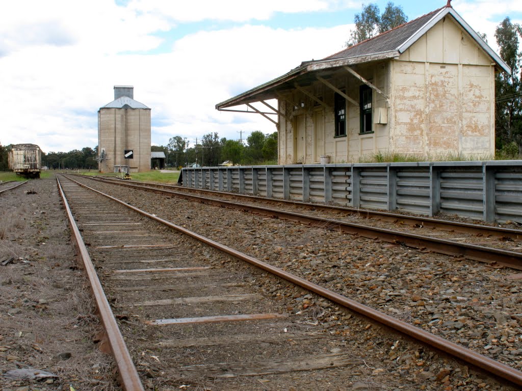
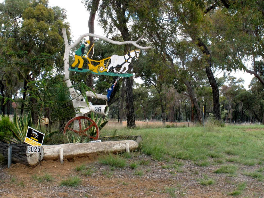
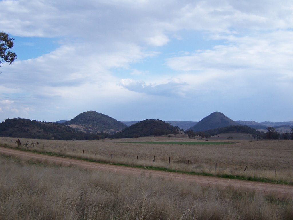
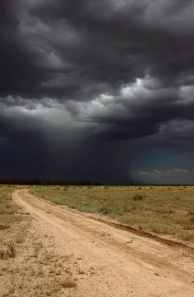
Photos of Tambar Springs
Tambar Springs Weather

Predicción: Clear sky
Temperatura: 10.2°
Humedad: 66%
Hora actual: 12:00 AM
Amanece: 08:23 PM
Anochece: 07:36 AM
Stony Crossing, Australia
Latitude: -35.0769 // Longitude: 143.577
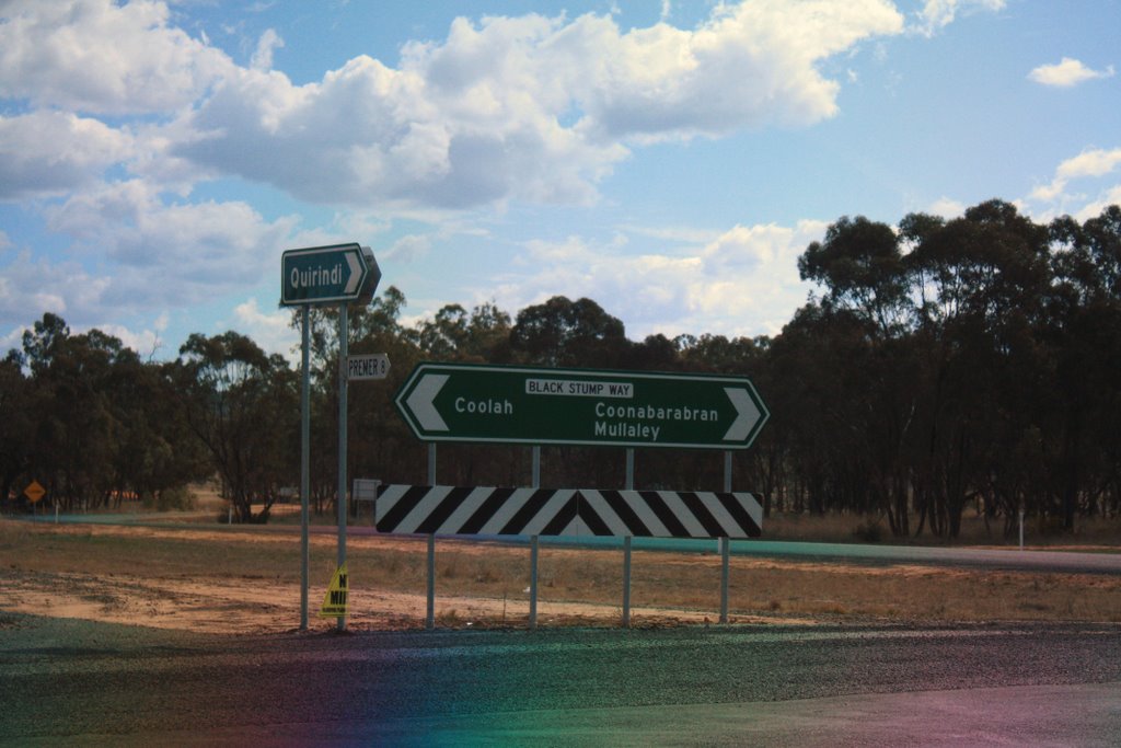
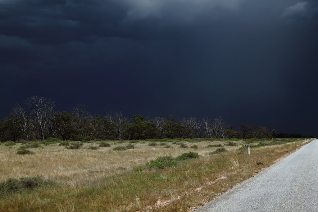
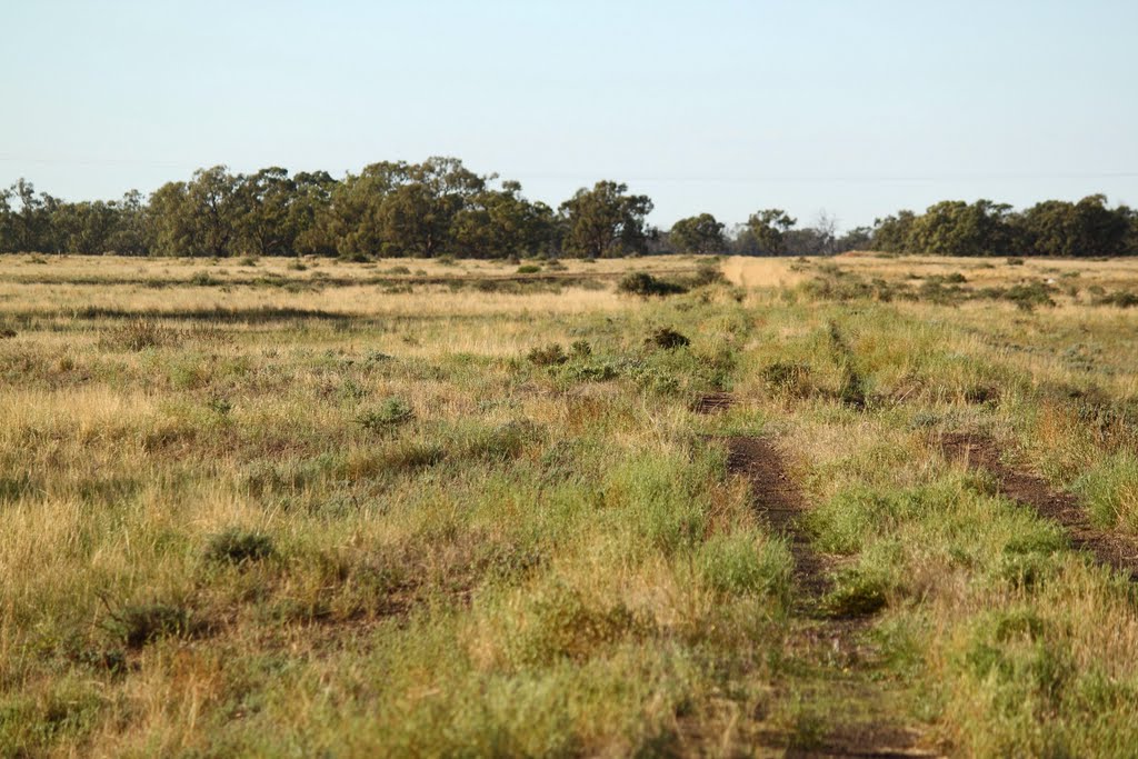
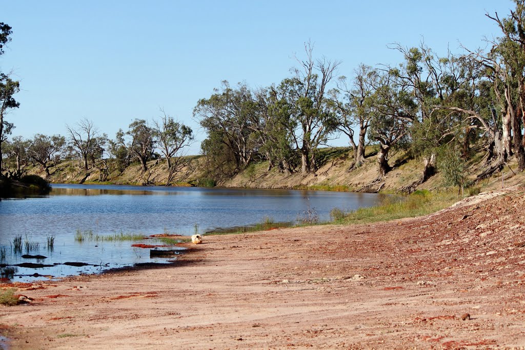
Photos of Stony Crossing
Stony Crossing Weather

Predicción: Overcast clouds
Temperatura: 14.0°
Humedad: 79%
Hora actual: 12:00 AM
Amanece: 08:52 PM
Anochece: 07:57 AM


