Distance between  ---1955- Tallangatta East--- and
  Merrijig
80.87 mi Straight Distance
143.16 mi Driving Distance
2 hours 35 mins Estimated Driving Time
The straight distance between ---1955- Tallangatta East--- (Victoria) and Merrijig (Victoria) is 80.87 mi, but the driving distance is 143.16 mi.
It takes 3 hours 56 mins to go from ---1955- Tallangatta East--- to Merrijig.
Driving directions from ---1955- Tallangatta East--- to Merrijig
Distance in kilometers
Straight distance: 130.12 km. Route distance: 230.34 km
---1955- Tallangatta East---, Australia
Latitude: -36.2176 // Longitude: 147.26
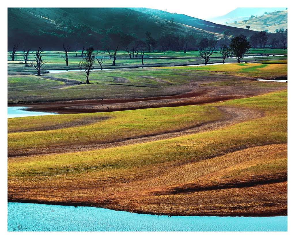
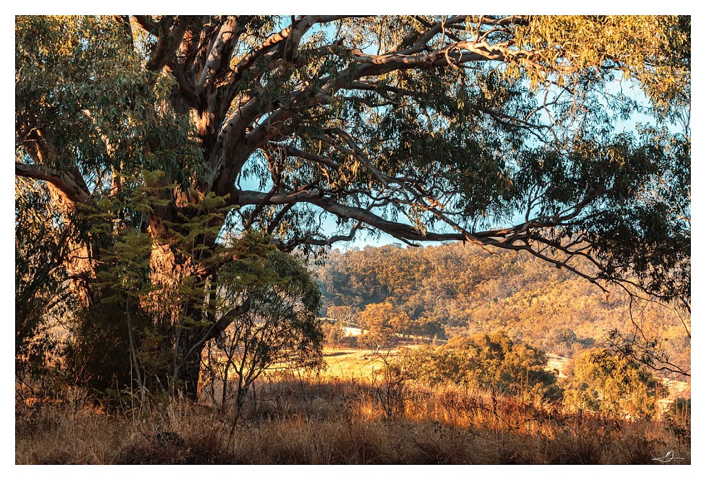
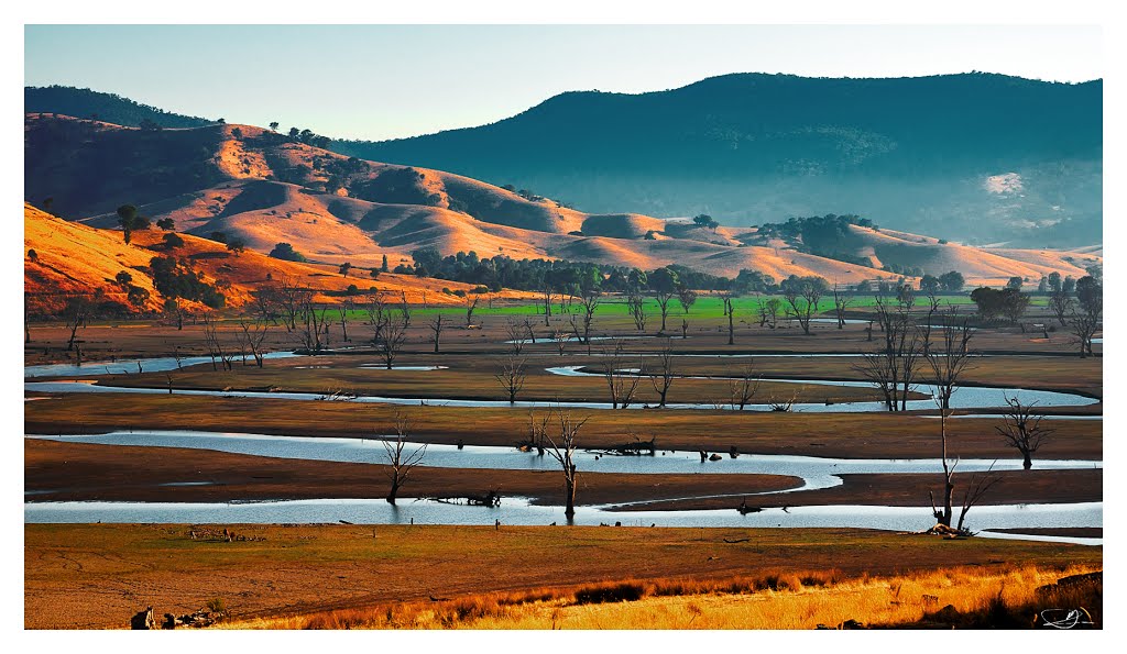
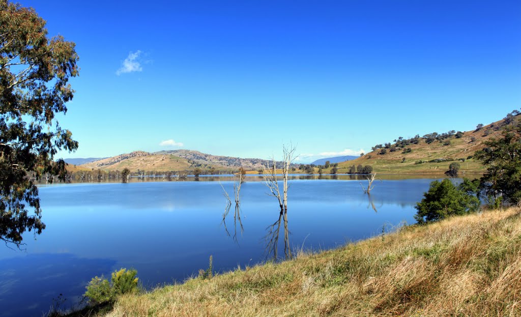
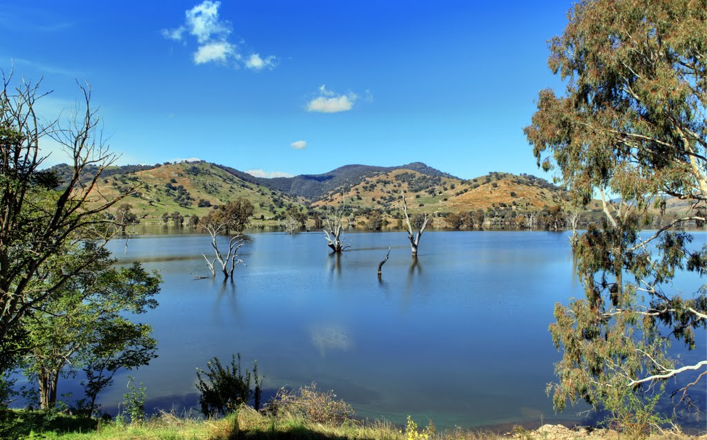
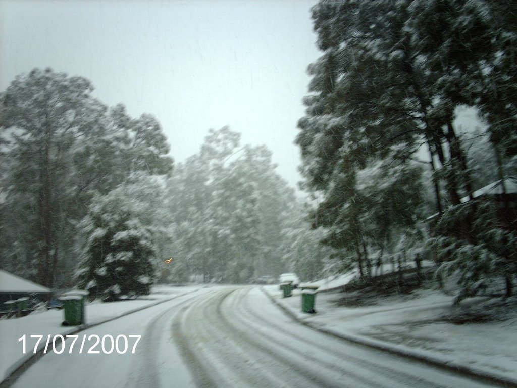
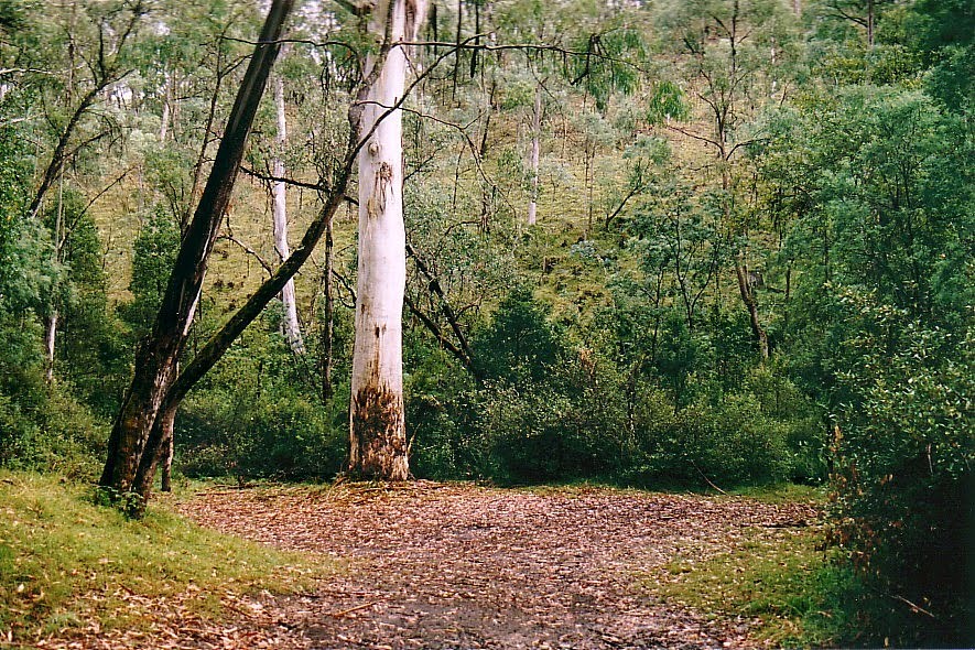
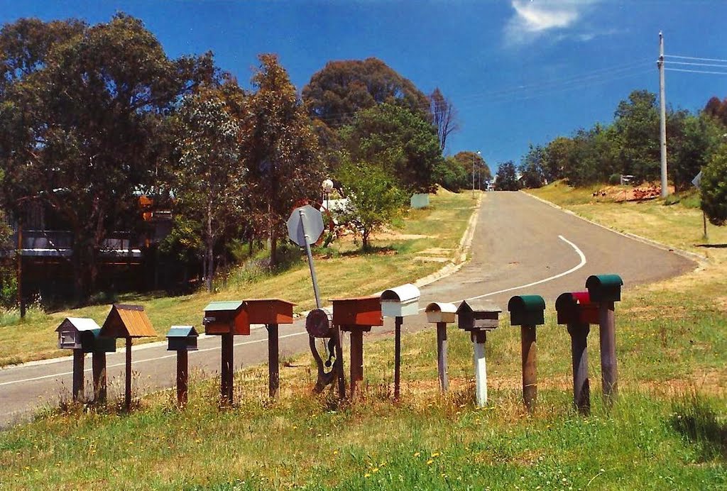
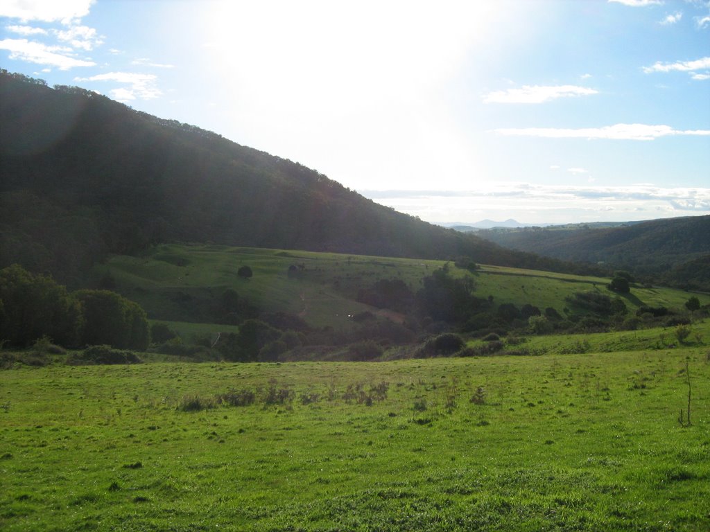
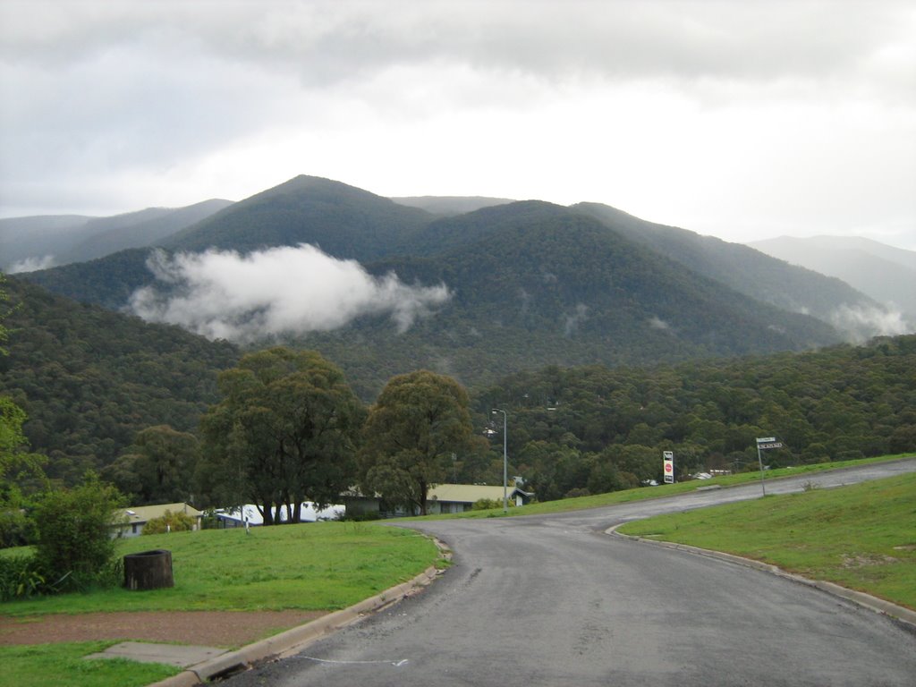
Photos of ---1955- Tallangatta East---
---1955- Tallangatta East--- Weather

Predicción: Broken clouds
Temperatura: 12.6°
Humedad: 79%
Hora actual: 11:29 PM
Amanece: 06:36 AM
Anochece: 05:44 PM
Merrijig, Australia
Latitude: -37.1101 // Longitude: 146.316
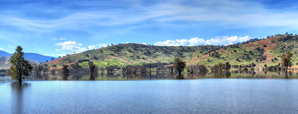
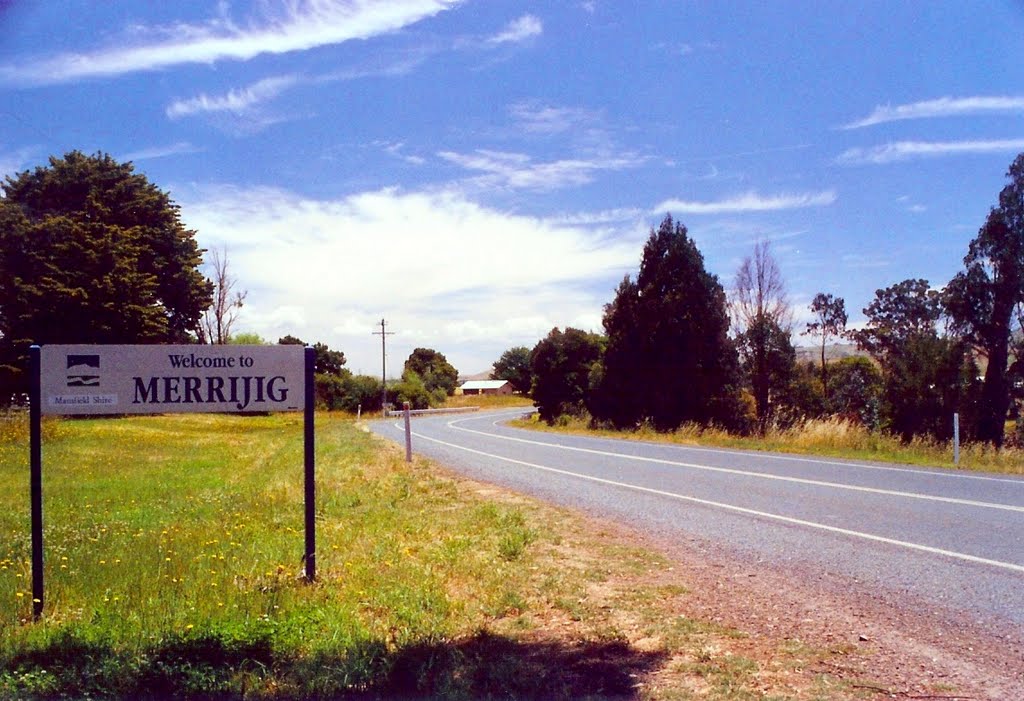
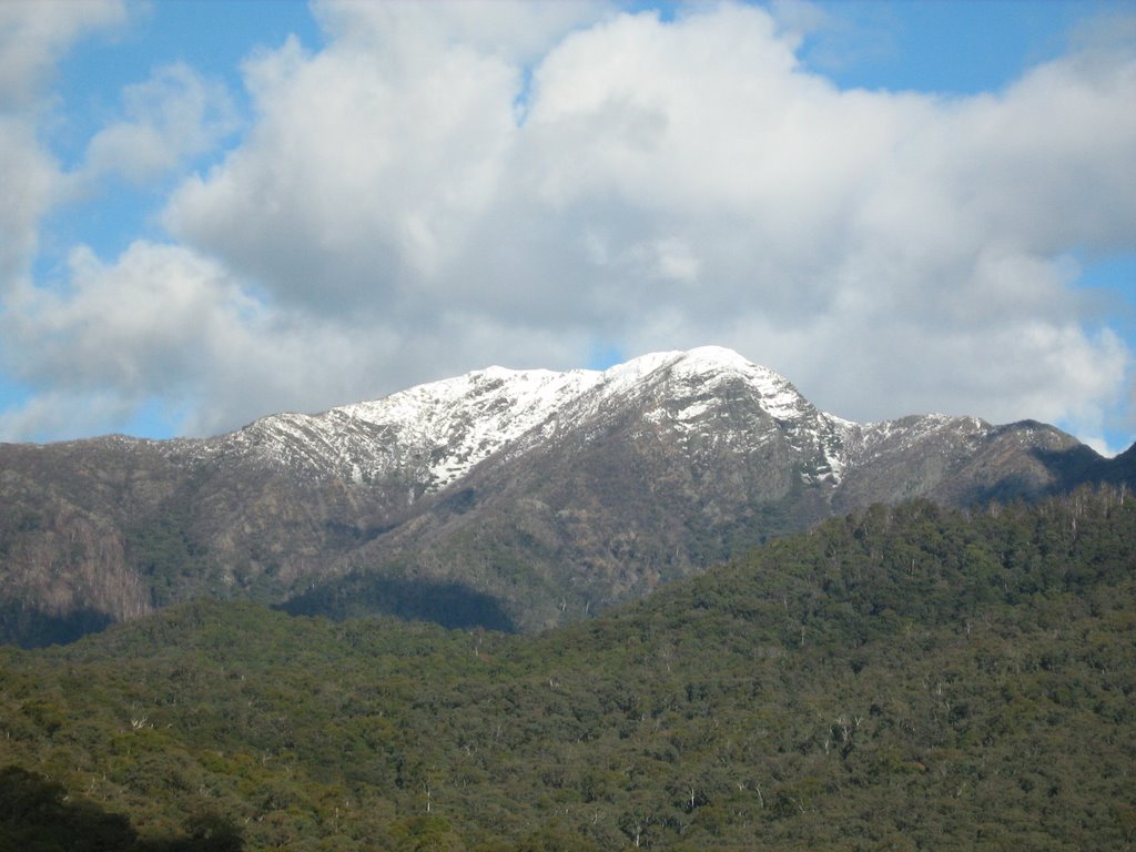
Photos of Merrijig
Merrijig Weather

Predicción: Overcast clouds
Temperatura: 9.1°
Humedad: 90%
Hora actual: 11:29 PM
Amanece: 06:41 AM
Anochece: 05:47 PM


