Distance between  Tahara and
  The Entrance
628.55 mi Straight Distance
786.58 mi Driving Distance
12 hours 33 mins Estimated Driving Time
The straight distance between Tahara (Victoria) and The Entrance (New South Wales) is 628.55 mi, but the driving distance is 786.58 mi.
It takes to go from Tahara to The Entrance.
Driving directions from Tahara to The Entrance
Distance in kilometers
Straight distance: 1,011.33 km. Route distance: 1,265.60 km
Tahara, Australia
Latitude: -37.7424 // Longitude: 141.702
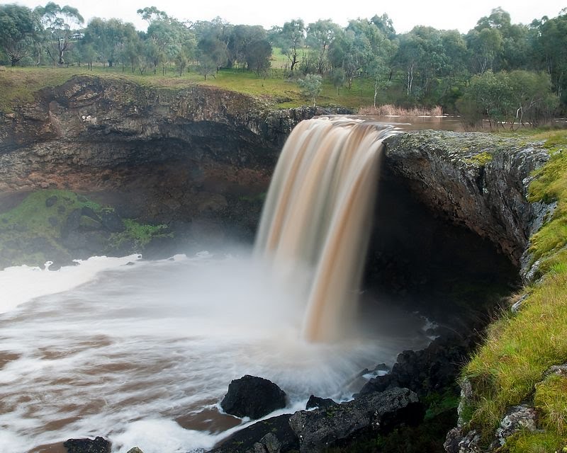
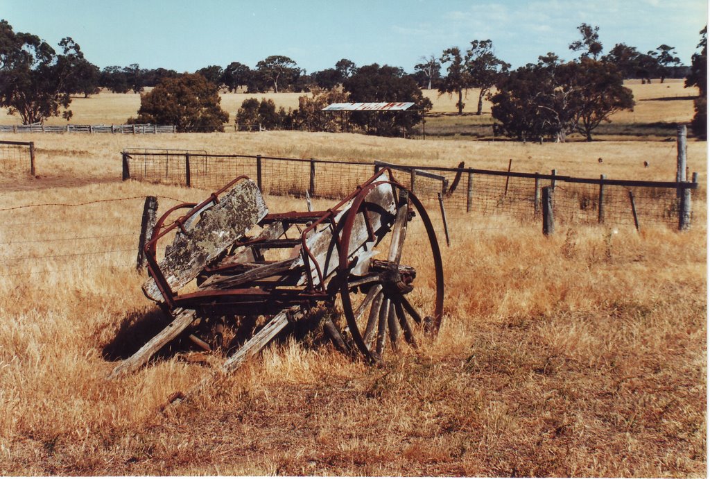
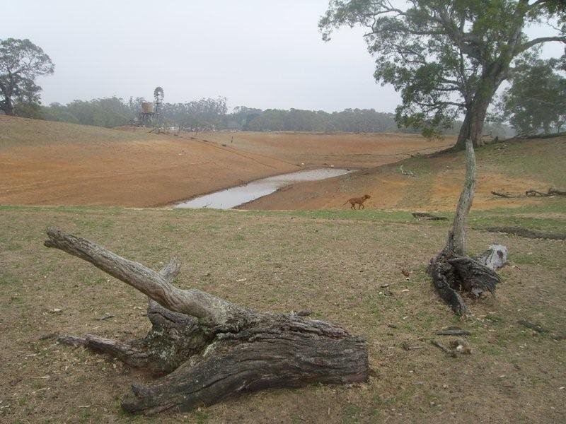
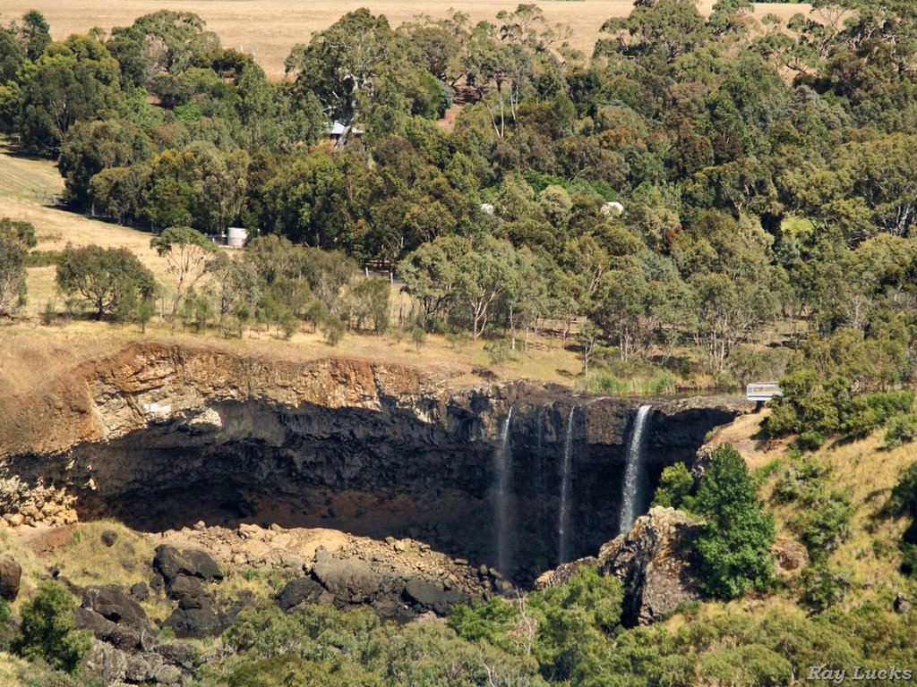
Photos of Tahara
Tahara Weather

Predicción: Overcast clouds
Temperatura: 14.1°
Humedad: 64%
Hora actual: 12:00 AM
Amanece: 09:03 PM
Anochece: 08:01 AM
The Entrance, Australia
Latitude: -33.3431 // Longitude: 151.498
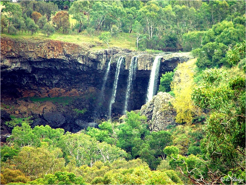
Photos of The Entrance
The Entrance Weather

Predicción: Light rain
Temperatura: 19.8°
Humedad: 90%
Hora actual: 11:01 AM
Amanece: 06:18 AM
Anochece: 05:28 PM


