Distance between  Taggerty and
  Blackwood
77.99 mi Straight Distance
120.88 mi Driving Distance
2 hours 19 mins Estimated Driving Time
The straight distance between Taggerty (Victoria) and Blackwood (Victoria) is 77.99 mi, but the driving distance is 120.88 mi.
It takes to go from Taggerty to Blackwood.
Driving directions from Taggerty to Blackwood
Distance in kilometers
Straight distance: 125.49 km. Route distance: 194.50 km
Taggerty, Australia
Latitude: -37.3209 // Longitude: 145.714
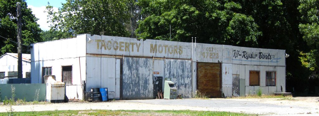
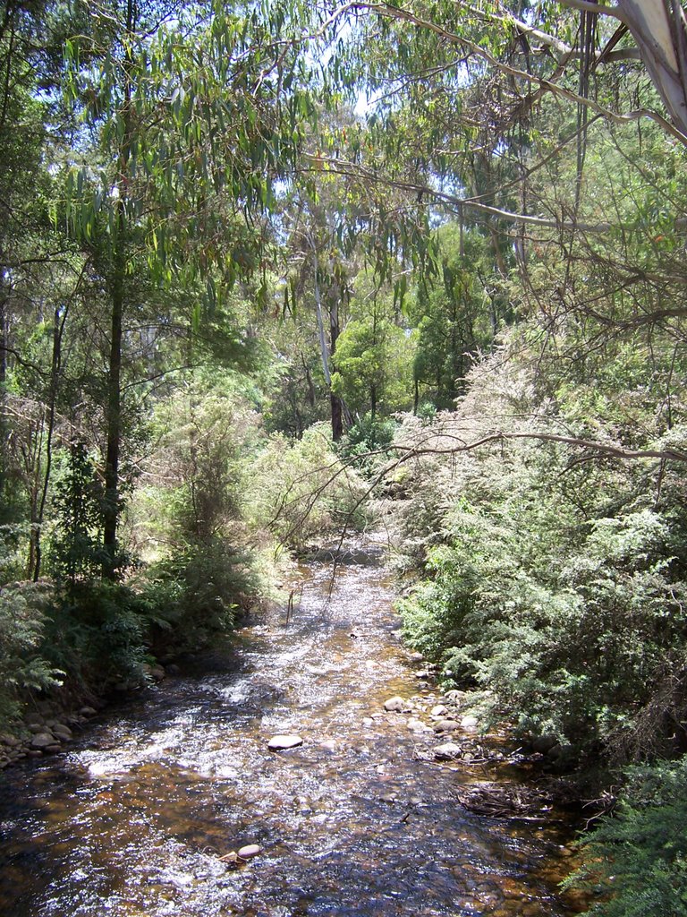
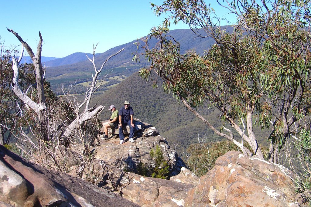
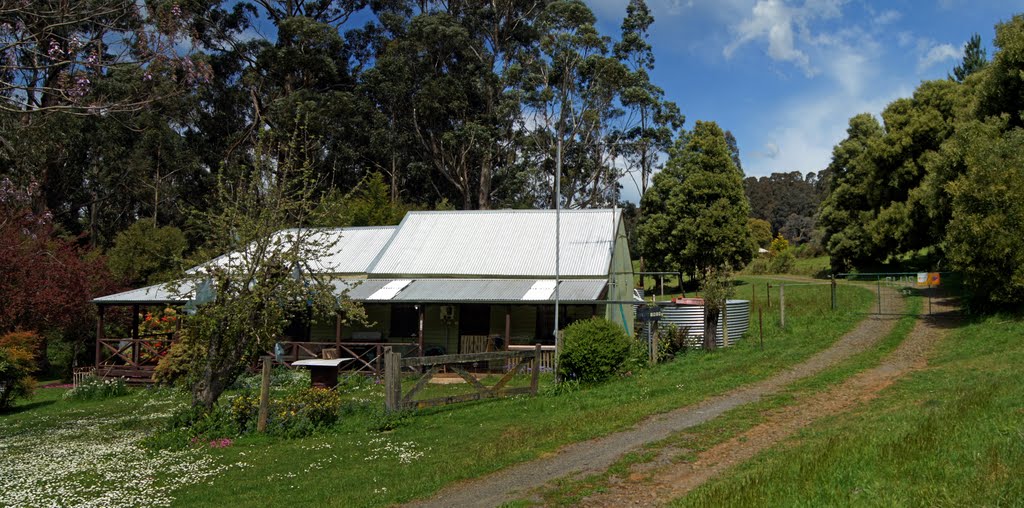
Photos of Taggerty
Taggerty Weather

Predicción: Scattered clouds
Temperatura: 12.2°
Humedad: 84%
Hora actual: 12:00 AM
Amanece: 08:44 PM
Anochece: 07:48 AM
Blackwood, Australia
Latitude: -37.4727 // Longitude: 144.306
Photos of Blackwood
Blackwood Weather

Predicción: Overcast clouds
Temperatura: 11.7°
Humedad: 97%
Hora actual: 12:00 AM
Amanece: 08:50 PM
Anochece: 07:54 AM


