Distance between  Table Cape and
  Ross
Ross
118.38 mi Straight Distance
141.16 mi Driving Distance
2 hours 27 mins Estimated Driving Time
The straight distance between Table Cape (Tasmania) and Ross (Tasmania) is 118.38 mi, but the driving distance is 141.16 mi.
It takes to go from Table Cape to Ross.
Driving directions from Table Cape to Ross
Distance in kilometers
Straight distance: 190.48 km. Route distance: 227.13 km
Table Cape, Australia
Latitude: -40.9555 // Longitude: 145.709
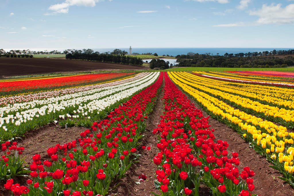
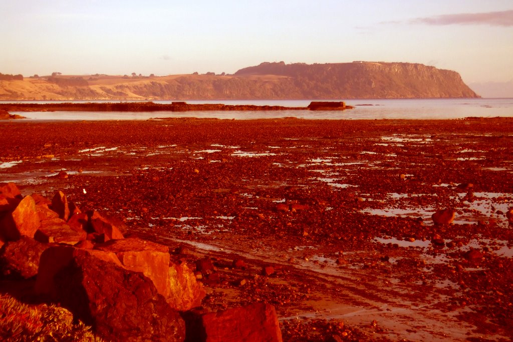
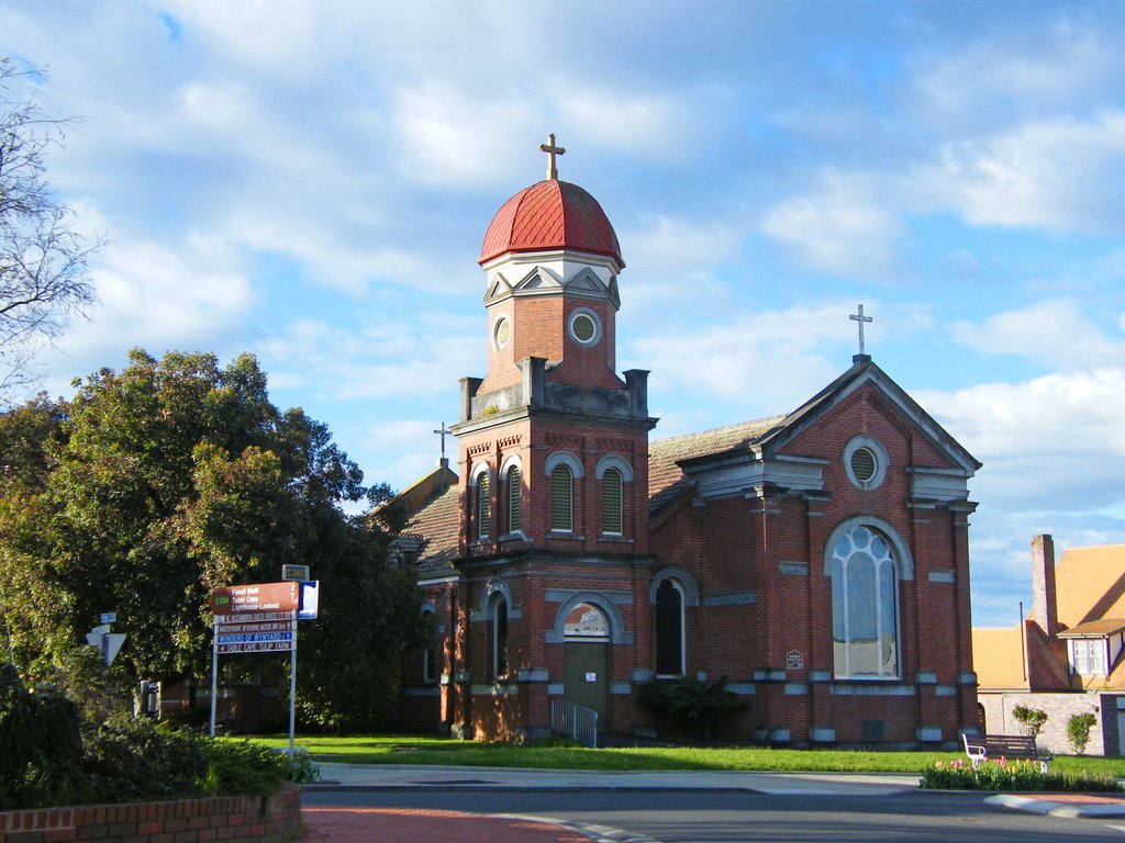
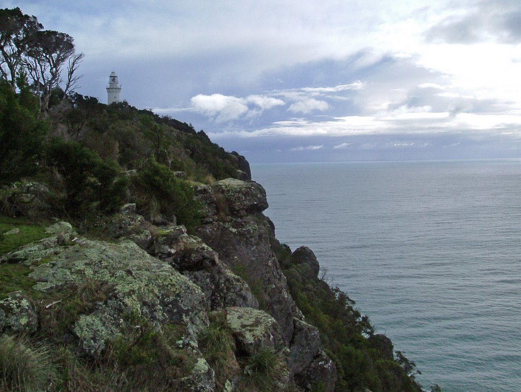
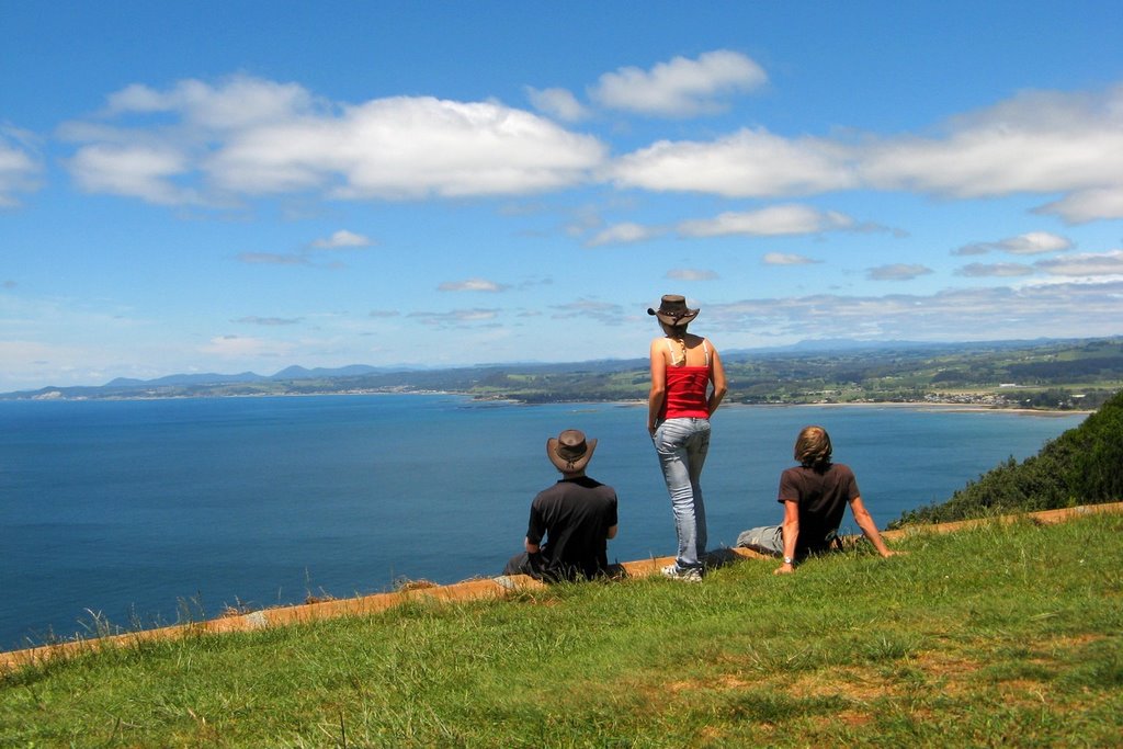
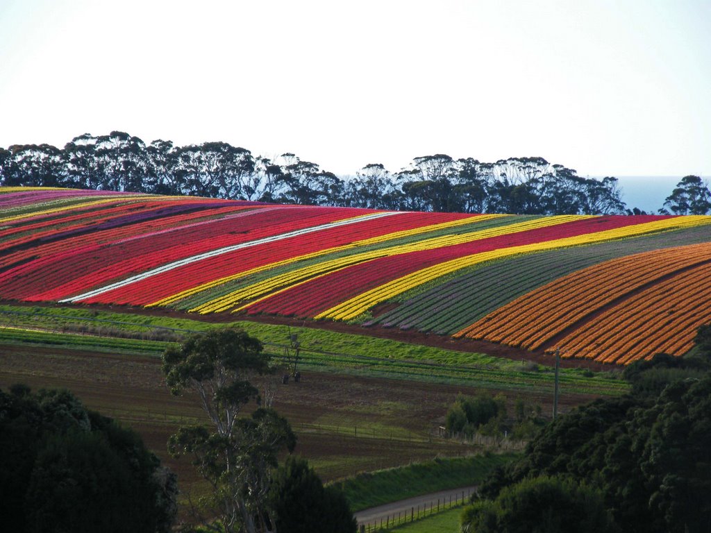
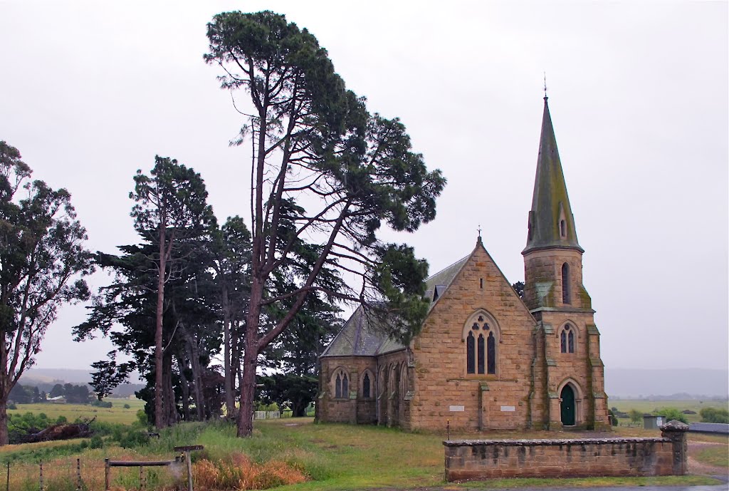
Photos of Table Cape
Table Cape Weather

Predicción: Broken clouds
Temperatura: 10.8°
Humedad: 76%
Hora actual: 08:40 PM
Amanece: 06:48 AM
Anochece: 05:45 PM
Ross, Australia
Latitude: -42.028 // Longitude: 147.493
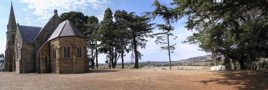
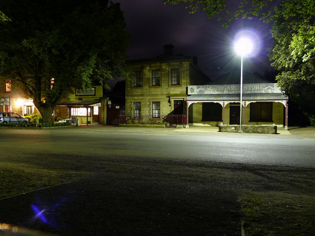
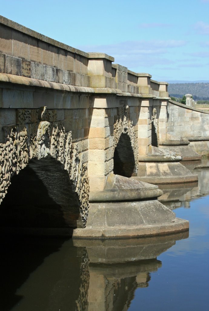
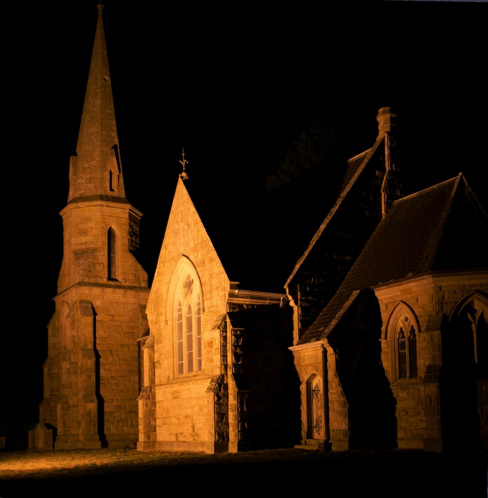
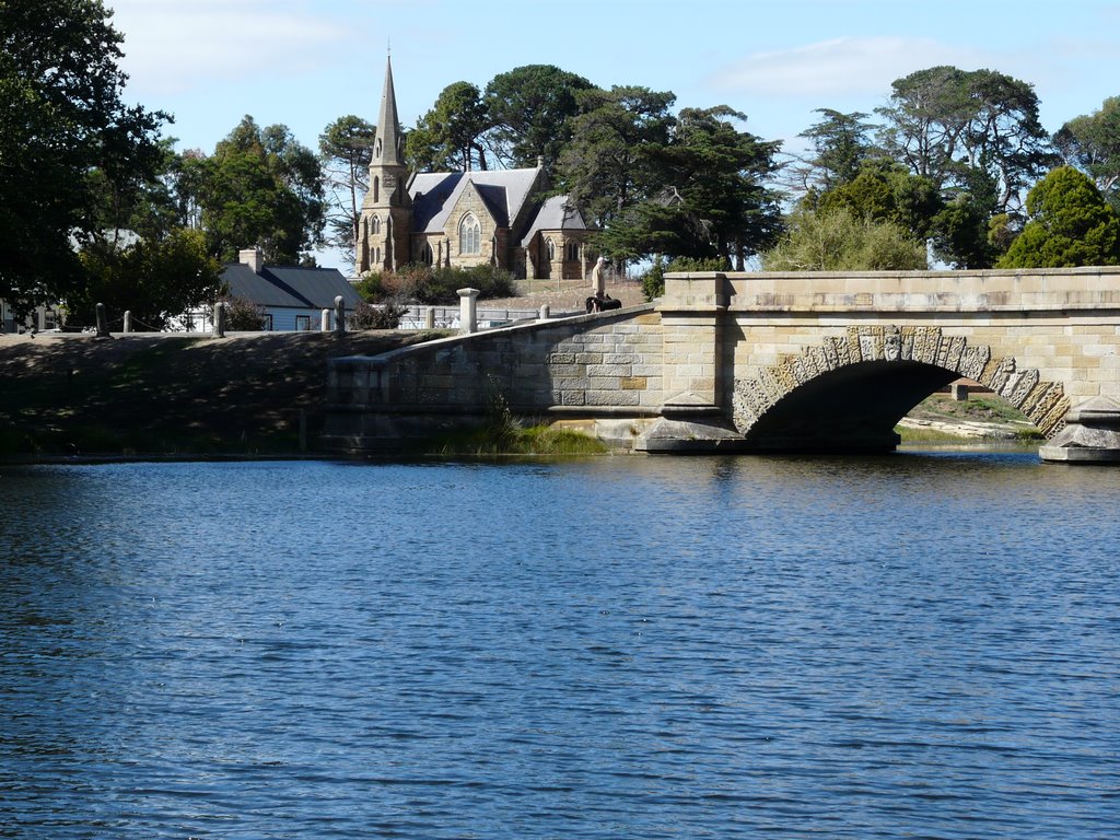
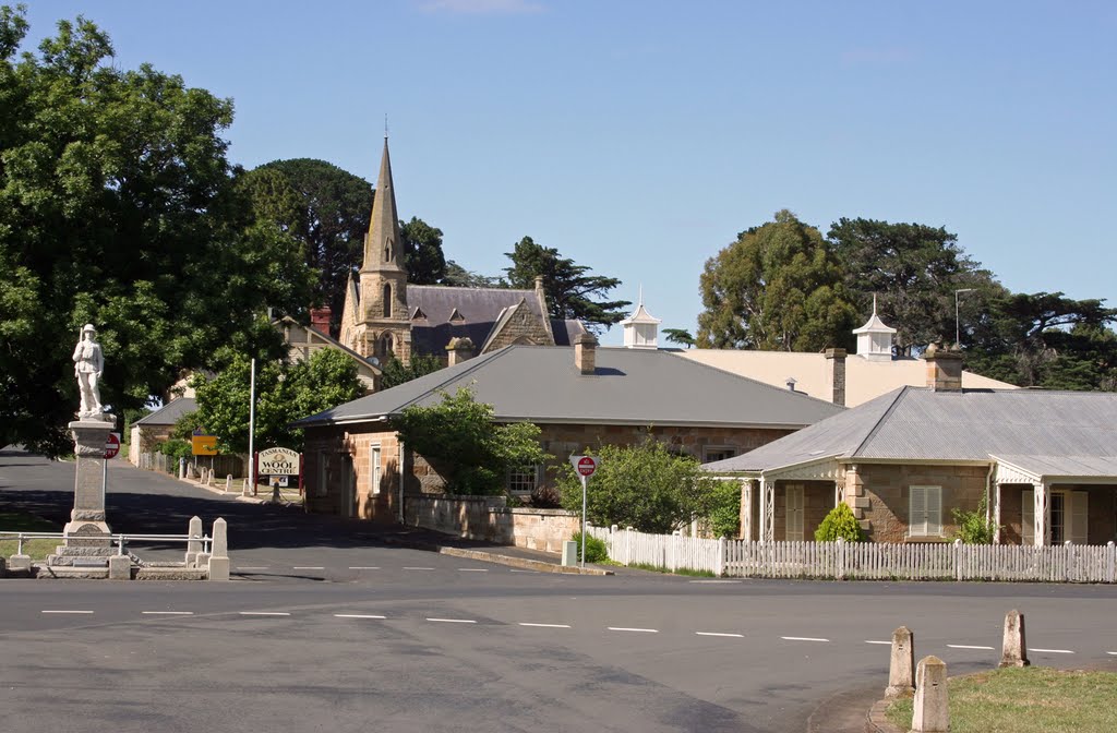
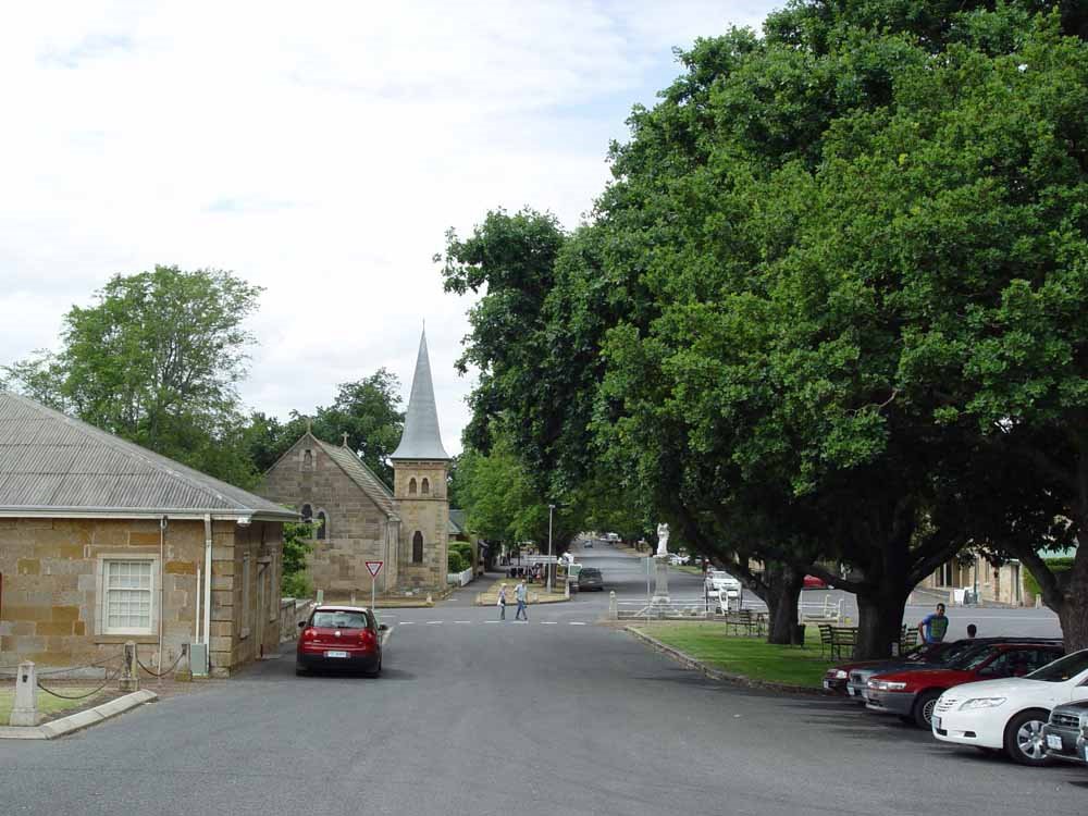
Photos of Ross
Ross Weather

Predicción: Overcast clouds
Temperatura: 12.5°
Humedad: 68%
Hora actual: 11:00 AM
Amanece: 06:42 AM
Anochece: 05:36 PM


