Distance between  Sugarloaf and
  Gower
Gower
116.16 mi Straight Distance
158.57 mi Driving Distance
3 hours 9 mins Estimated Driving Time
The straight distance between Sugarloaf (Victoria) and Gower (Victoria) is 116.16 mi, but the driving distance is 158.57 mi.
It takes to go from Sugarloaf to Gower.
Driving directions from Sugarloaf to Gower
Distance in kilometers
Straight distance: 186.90 km. Route distance: 255.15 km
Sugarloaf, Australia
Latitude: -38.6942 // Longitude: 143.805
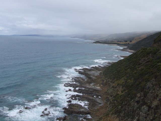
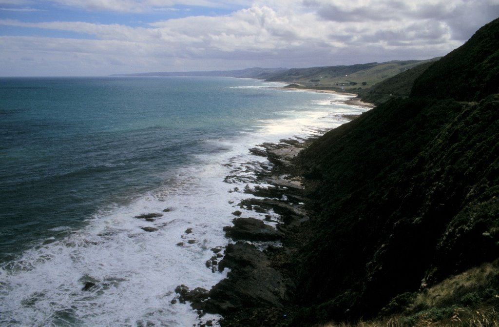
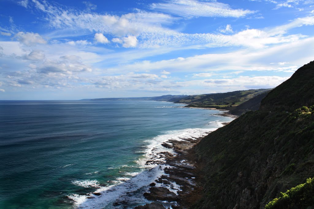
Photos of Sugarloaf
Sugarloaf Weather

Predicción: Overcast clouds
Temperatura: 11.9°
Humedad: 77%
Hora actual: 12:00 AM
Amanece: 08:53 PM
Anochece: 07:54 AM
Gower, Australia
Latitude: -37.0289 // Longitude: 144.097
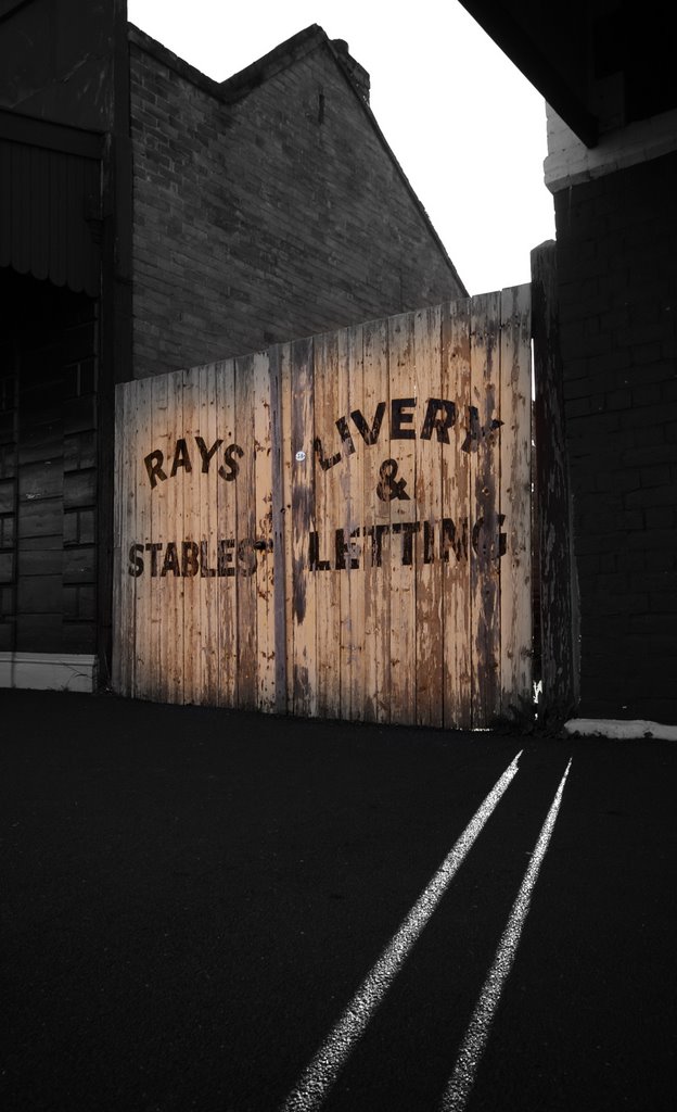
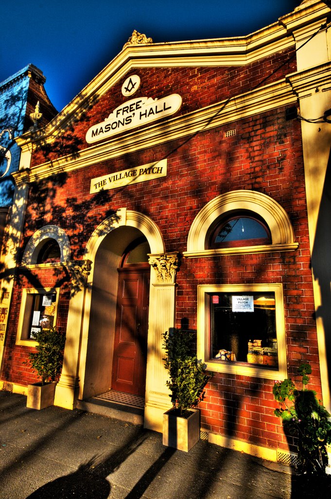
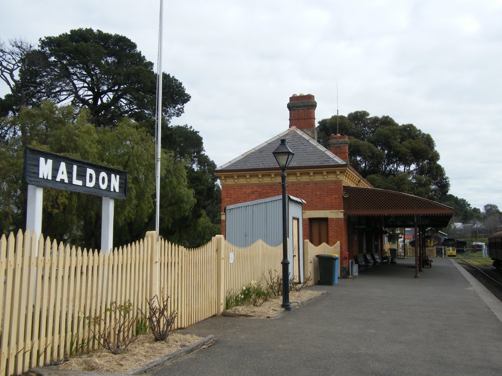
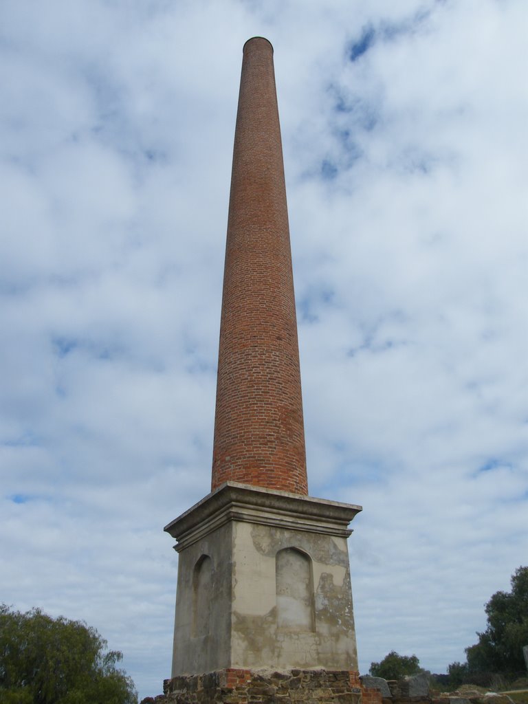
Photos of Gower
Gower Weather

Predicción: Overcast clouds
Temperatura: 9.8°
Humedad: 92%
Hora actual: 03:11 AM
Amanece: 06:51 AM
Anochece: 05:54 PM


