Distance between  Sugarloaf and
  Barunah Park
48.60 mi Straight Distance
71.35 mi Driving Distance
1 hour 53 mins Estimated Driving Time
The straight distance between Sugarloaf (Victoria) and Barunah Park (Victoria) is 48.60 mi, but the driving distance is 71.35 mi.
It takes to go from Sugarloaf to Barunah Park.
Driving directions from Sugarloaf to Barunah Park
Distance in kilometers
Straight distance: 78.20 km. Route distance: 114.81 km
Sugarloaf, Australia
Latitude: -38.6942 // Longitude: 143.805
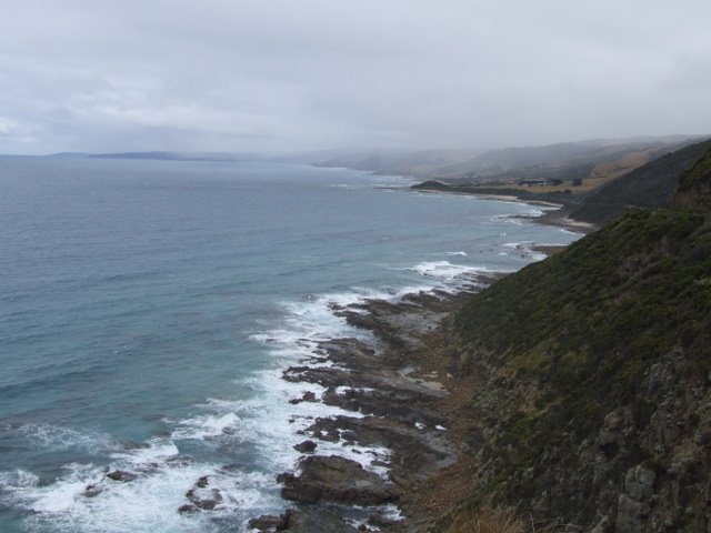
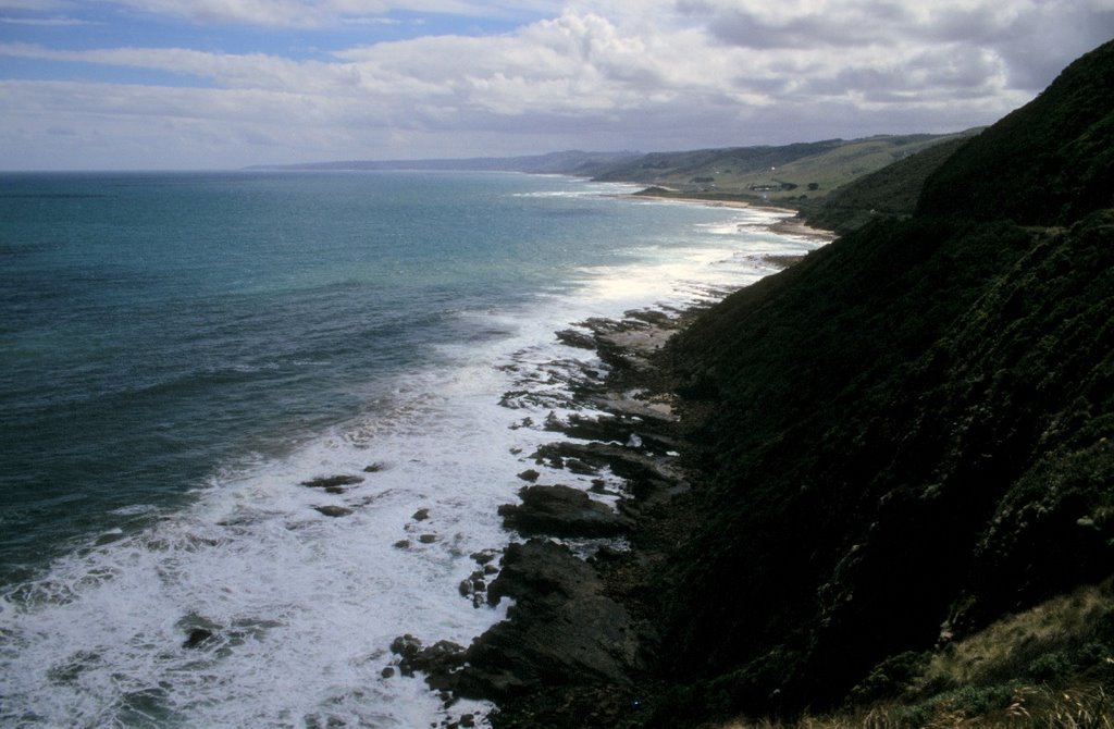
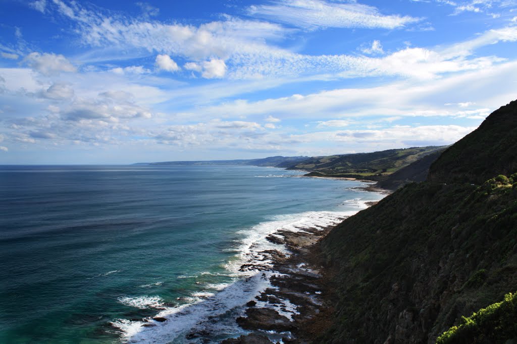
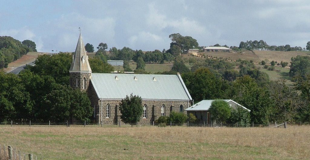
Photos of Sugarloaf
Sugarloaf Weather

Predicción: Overcast clouds
Temperatura: 12.8°
Humedad: 71%
Hora actual: 12:00 AM
Amanece: 08:55 PM
Anochece: 07:52 AM
Barunah Park, Australia
Latitude: -37.9908 // Longitude: 143.817
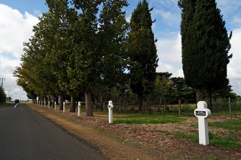
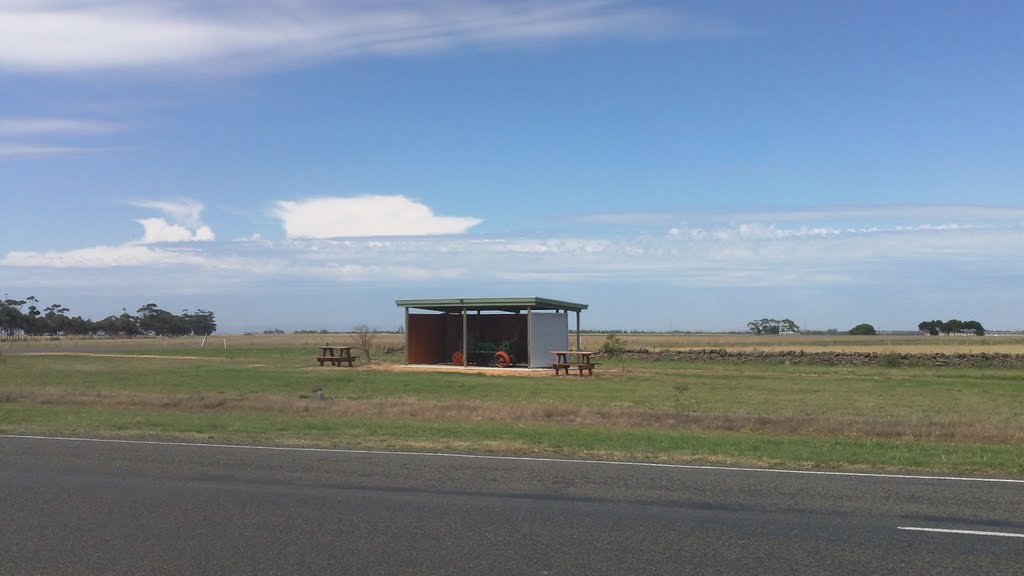
Photos of Barunah Park
Barunah Park Weather

Predicción: Overcast clouds
Temperatura: 14.2°
Humedad: 61%
Hora actual: 12:00 AM
Amanece: 08:54 PM
Anochece: 07:53 AM


