Distance between  Strathalbyn and
  Bordertown
128.16 mi Straight Distance
149.86 mi Driving Distance
2 hours 26 mins Estimated Driving Time
The straight distance between Strathalbyn (South Australia) and Bordertown (South Australia) is 128.16 mi, but the driving distance is 149.86 mi.
It takes 2 hours 38 mins to go from Strathalbyn to Bordertown.
Driving directions from Strathalbyn to Bordertown
Distance in kilometers
Straight distance: 206.20 km. Route distance: 241.12 km
Strathalbyn, Australia
Latitude: -35.2589 // Longitude: 138.89
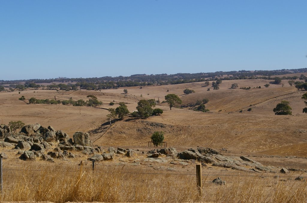
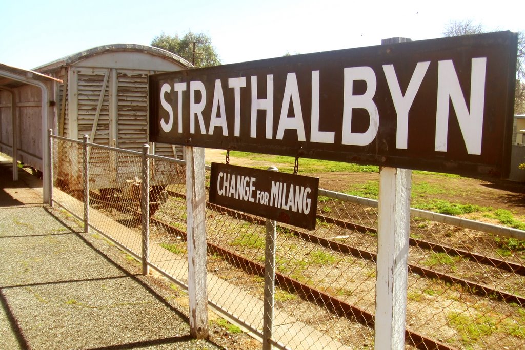
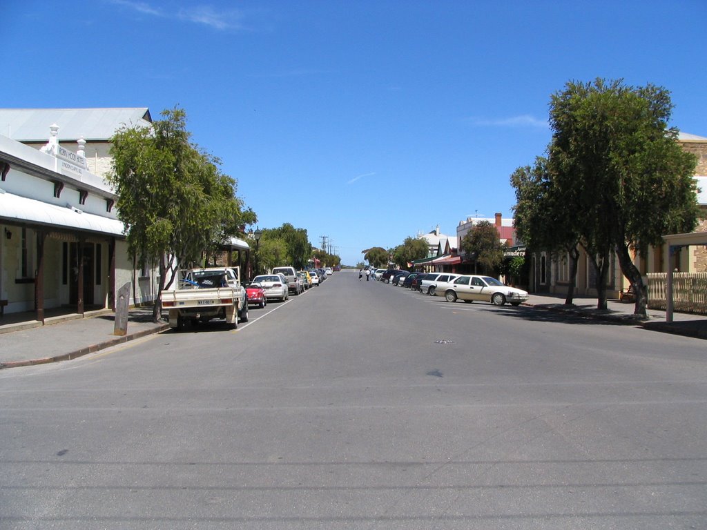
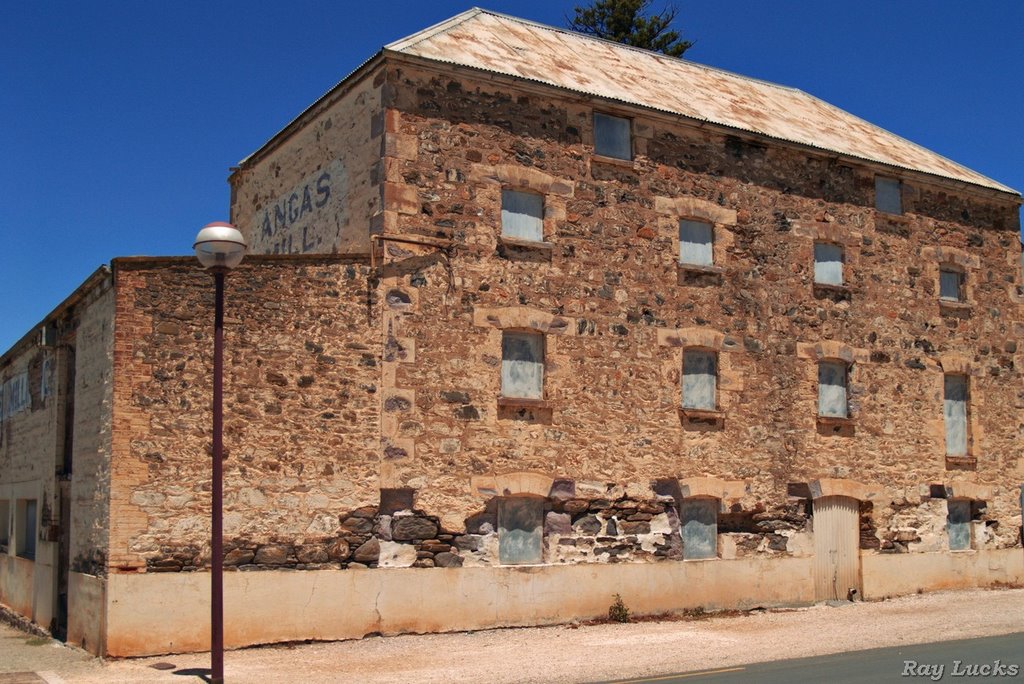
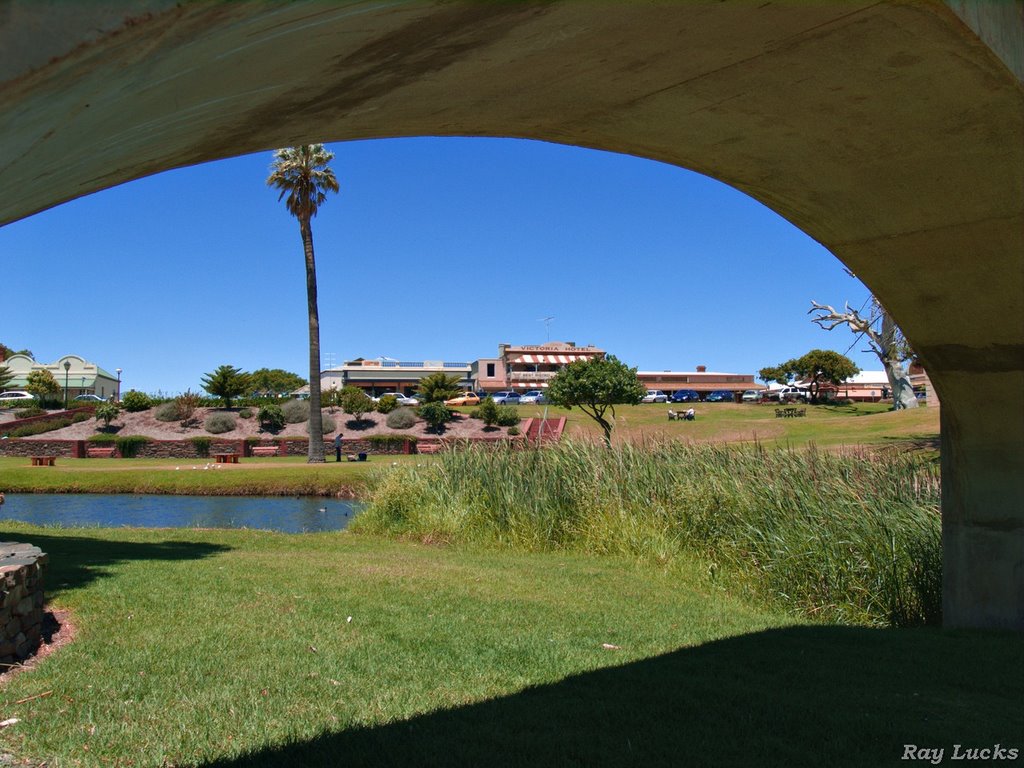
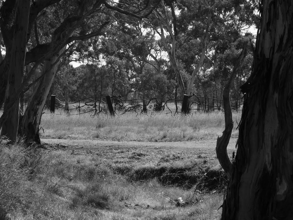
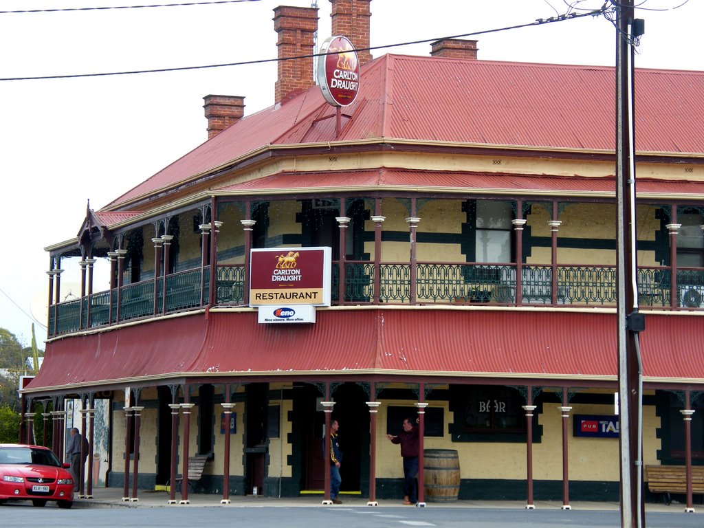
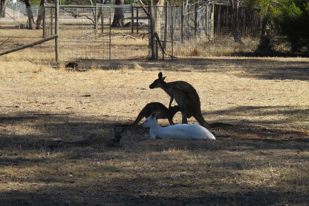
Photos of Strathalbyn
Strathalbyn Weather

Predicción: Broken clouds
Temperatura: 16.4°
Humedad: 51%
Hora actual: 11:32 AM
Amanece: 06:41 AM
Anochece: 05:45 PM
Bordertown, Australia
Latitude: -36.3112 // Longitude: 140.773
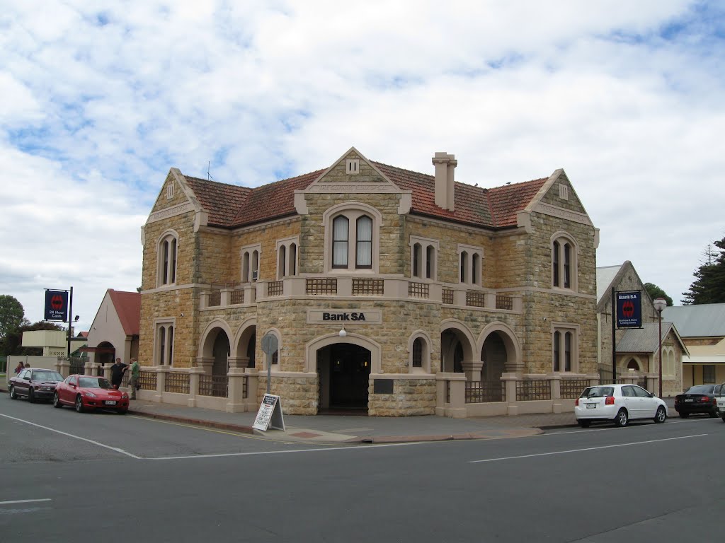
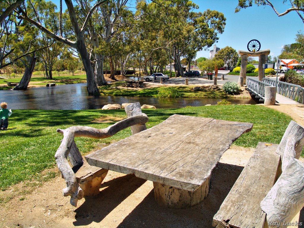
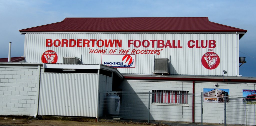
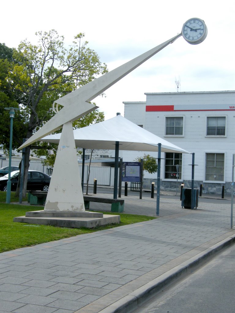
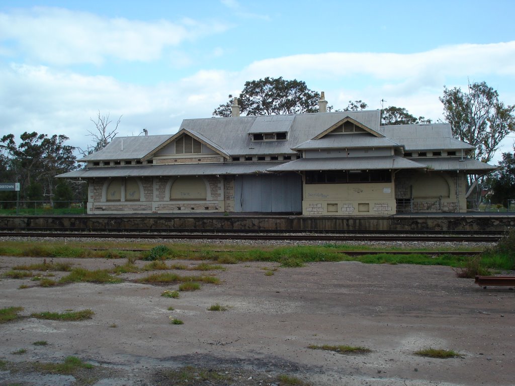
Photos of Bordertown
Bordertown Weather

Predicción: Few clouds
Temperatura: 16.1°
Humedad: 72%
Hora actual: 11:32 AM
Amanece: 06:35 AM
Anochece: 05:36 PM


