Distance between  Stratford and
  Foster North
66.97 mi Straight Distance
89.29 mi Driving Distance
1 hour 40 mins Estimated Driving Time
The straight distance between Stratford (Victoria) and Foster North (Victoria) is 66.97 mi, but the driving distance is 89.29 mi.
It takes 1 hour 41 mins to go from Stratford to Foster North.
Driving directions from Stratford to Foster North
Distance in kilometers
Straight distance: 107.75 km. Route distance: 143.67 km
Stratford, Australia
Latitude: -37.9662 // Longitude: 147.081
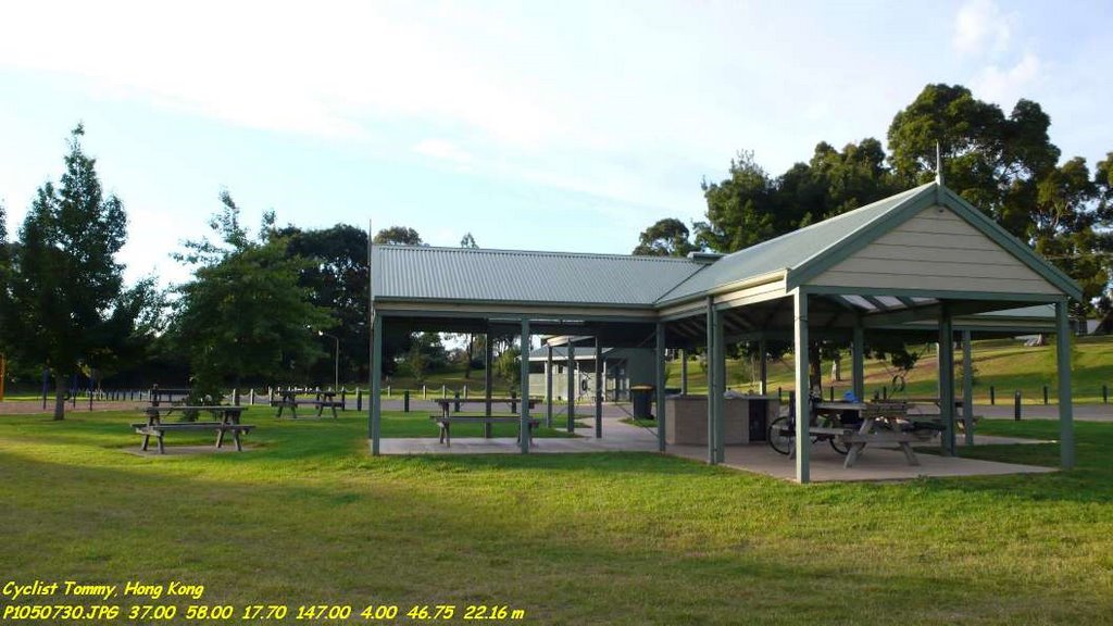
Photos of Stratford
Stratford Weather

Predicción: Overcast clouds
Temperatura: 12.6°
Humedad: 81%
Hora actual: 07:32 AM
Amanece: 06:40 AM
Anochece: 05:41 PM
Foster North, Australia
Latitude: -38.6206 // Longitude: 146.17
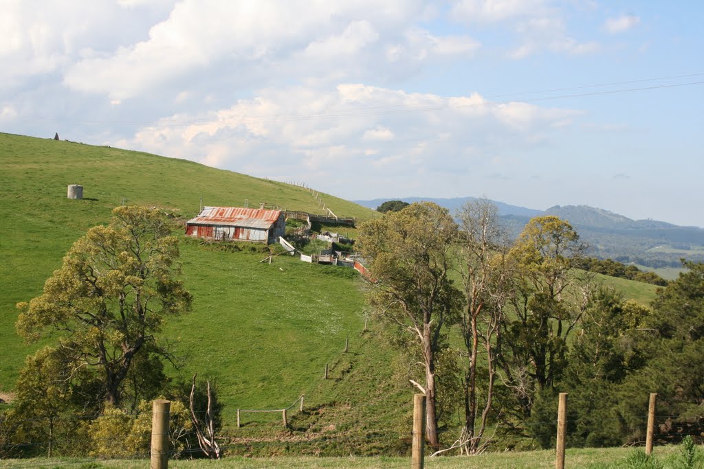
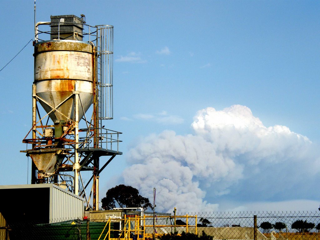
Photos of Foster North
Foster North Weather

Predicción: Overcast clouds
Temperatura: 8.2°
Humedad: 95%
Hora actual: 07:32 AM
Amanece: 06:44 AM
Anochece: 05:44 PM


