Distance between  Stradbroke and
  Poowong East
65.07 mi Straight Distance
96.41 mi Driving Distance
2 hours 6 mins Estimated Driving Time
The straight distance between Stradbroke (Victoria) and Poowong East (Victoria) is 65.07 mi, but the driving distance is 96.41 mi.
It takes to go from Stradbroke to Poowong East.
Driving directions from Stradbroke to Poowong East
Distance in kilometers
Straight distance: 104.69 km. Route distance: 155.13 km
Stradbroke, Australia
Latitude: -38.2993 // Longitude: 147.033
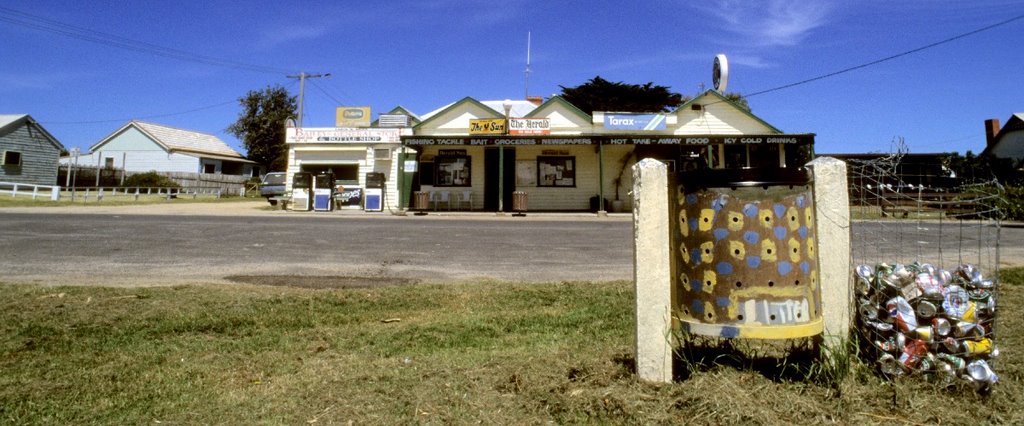
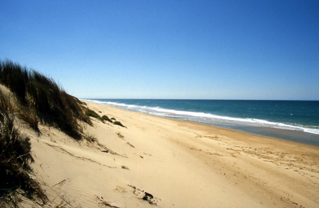
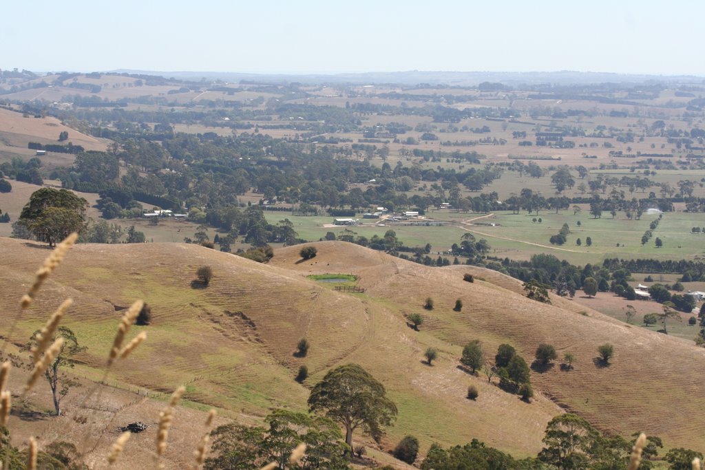
Photos of Stradbroke
Stradbroke Weather

Predicción: Overcast clouds
Temperatura: 10.8°
Humedad: 88%
Hora actual: 12:00 AM
Amanece: 08:40 PM
Anochece: 07:42 AM
Poowong East, Australia
Latitude: -38.3036 // Longitude: 145.833
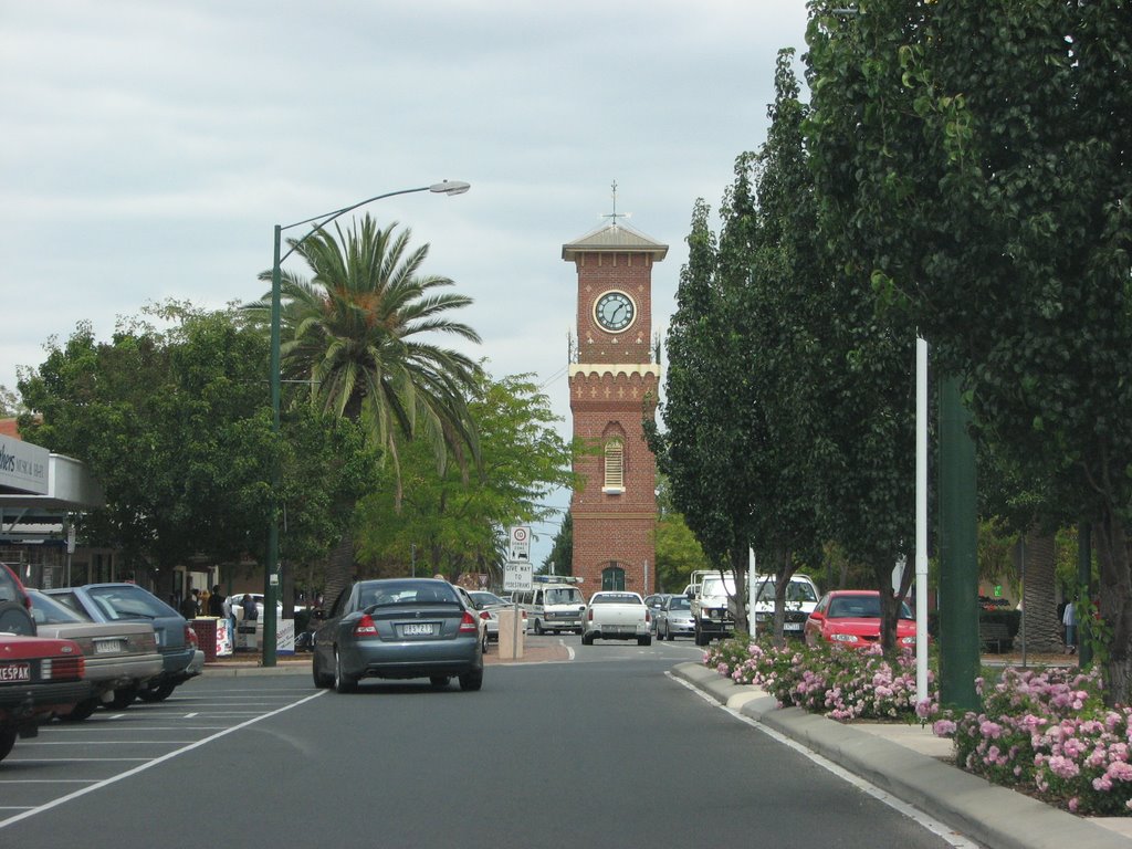
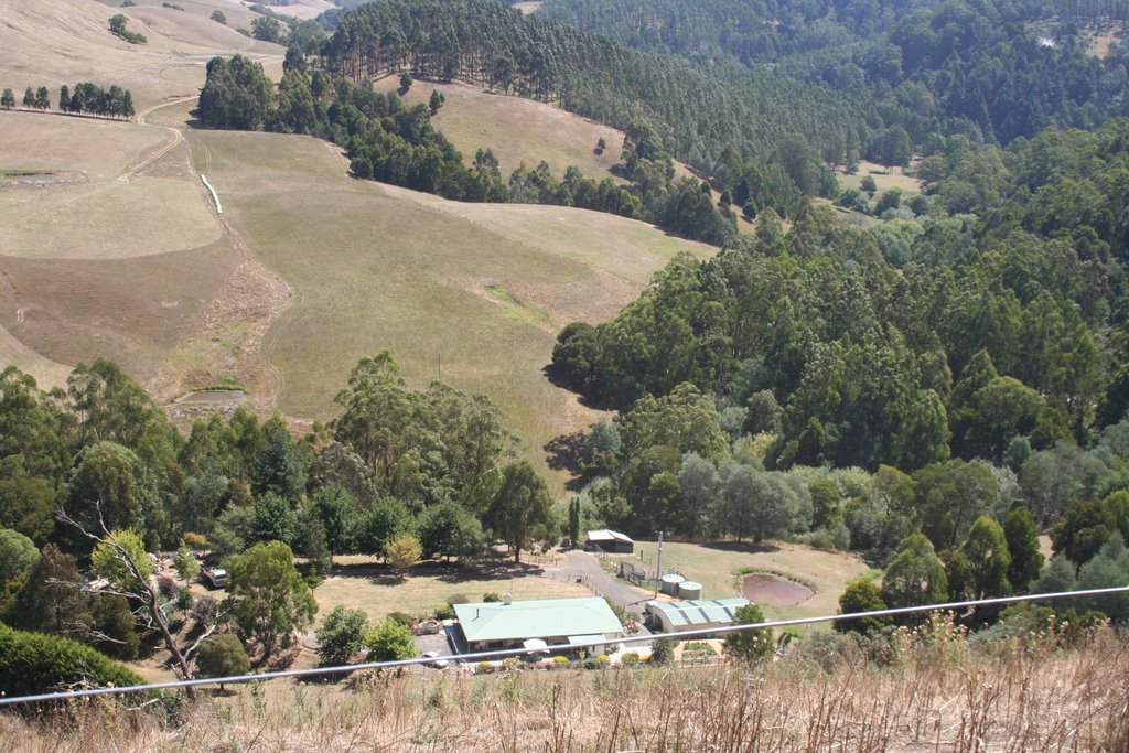
Photos of Poowong East
Poowong East Weather

Predicción: Light rain
Temperatura: 11.0°
Humedad: 98%
Hora actual: 02:22 AM
Amanece: 06:45 AM
Anochece: 05:46 PM


