Distance between  Stony Head and
  Reynolds Neck
61.04 mi Straight Distance
103.52 mi Driving Distance
2 hours 6 mins Estimated Driving Time
The straight distance between Stony Head (Tasmania) and Reynolds Neck (Tasmania) is 61.04 mi, but the driving distance is 103.52 mi.
It takes to go from Stony Head to Reynolds Neck.
Driving directions from Stony Head to Reynolds Neck
Distance in kilometers
Straight distance: 98.21 km. Route distance: 166.57 km
Stony Head, Australia
Latitude: -41.0188 // Longitude: 147.013
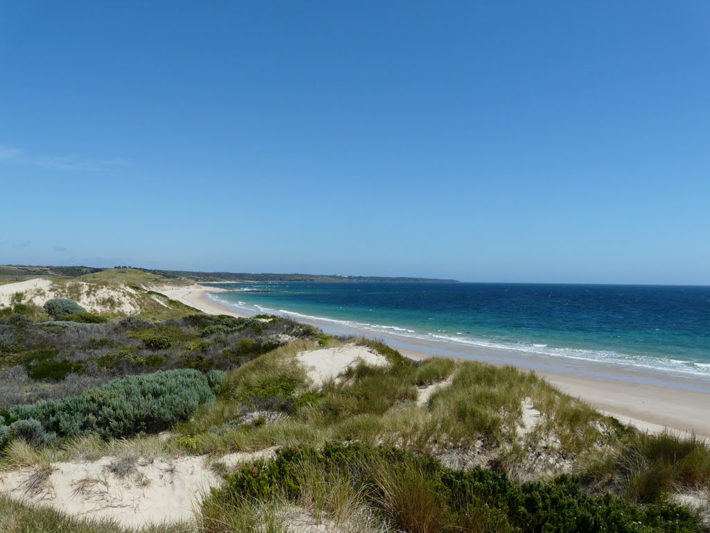
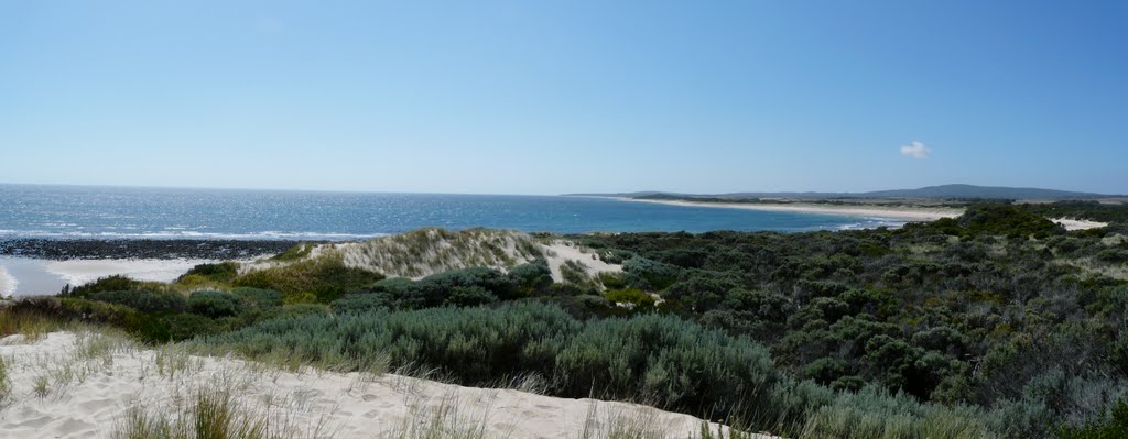
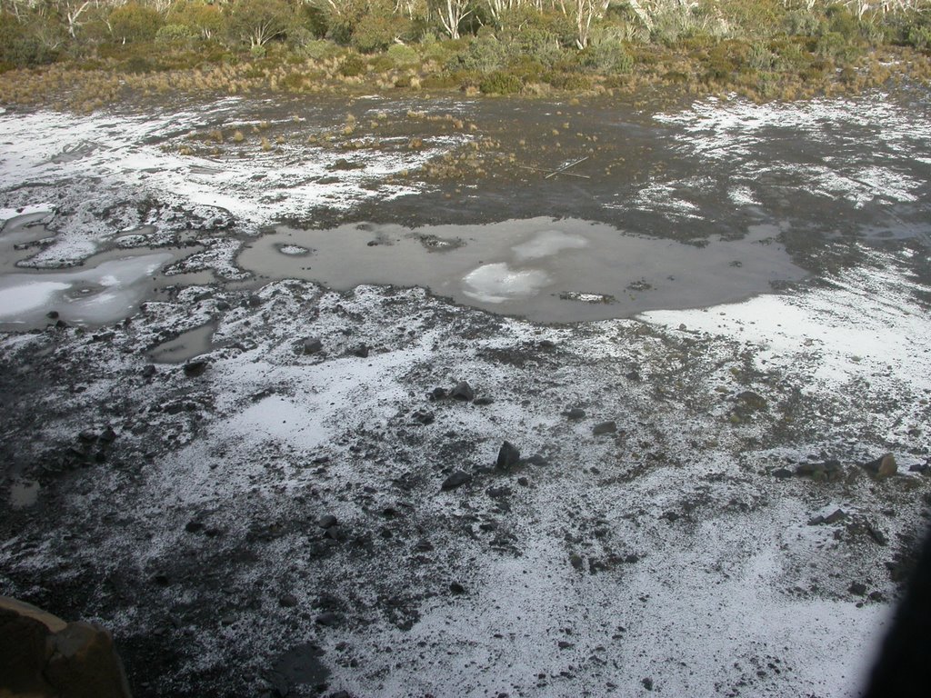
Photos of Stony Head
Stony Head Weather

Predicción: Clear sky
Temperatura: 14.7°
Humedad: 43%
Hora actual: 12:00 AM
Amanece: 08:46 PM
Anochece: 07:34 AM
Reynolds Neck, Australia
Latitude: -41.8688 // Longitude: 146.692
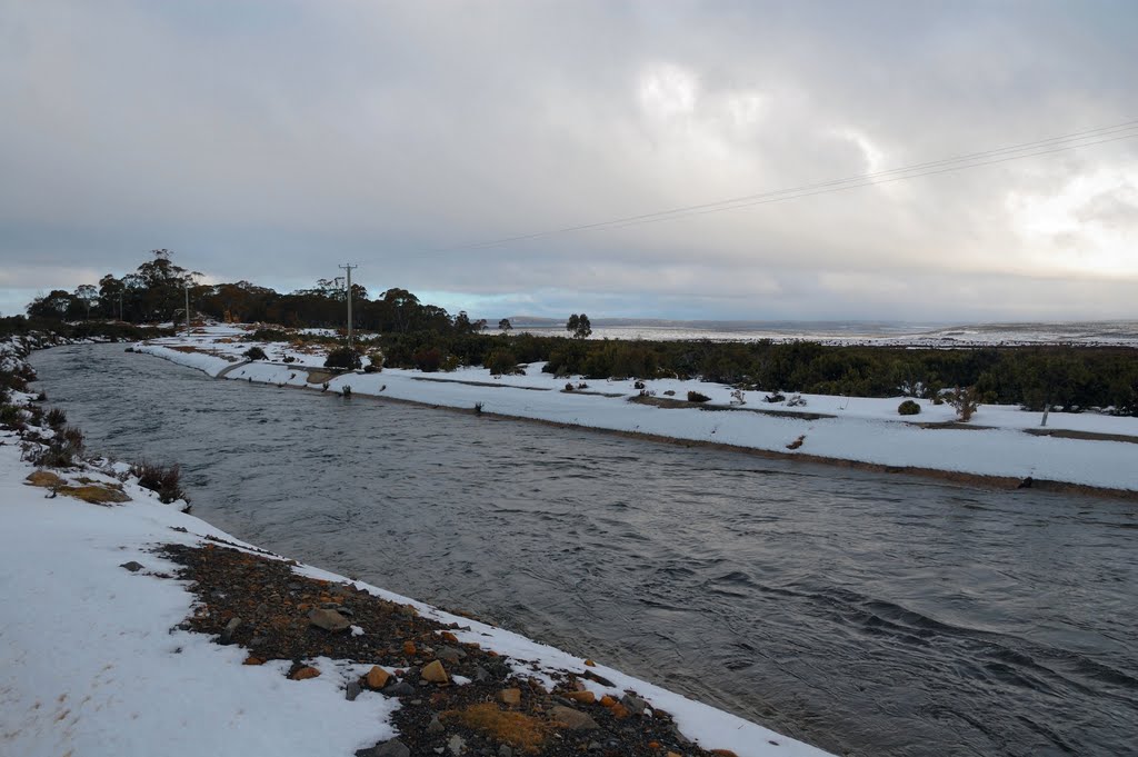
Photos of Reynolds Neck
Reynolds Neck Weather

Predicción: Clear sky
Temperatura: 8.5°
Humedad: 57%
Hora actual: 12:00 AM
Amanece: 08:49 PM
Anochece: 07:35 AM


