Distance between  Stony Creek and
  Woodstock West
166 mi Straight Distance
196.31 mi Driving Distance
3 hours 21 mins Estimated Driving Time
The straight distance between Stony Creek (Victoria) and Woodstock West (Victoria) is 166 mi, but the driving distance is 196.31 mi.
It takes 3 hours 35 mins to go from Stony Creek to Woodstock West.
Driving directions from Stony Creek to Woodstock West
Distance in kilometers
Straight distance: 267.09 km. Route distance: 315.87 km
Stony Creek, Australia
Latitude: -38.5862 // Longitude: 146.037
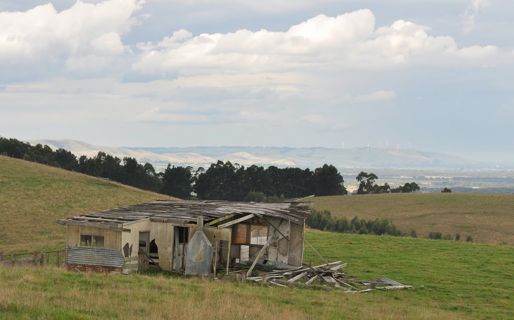
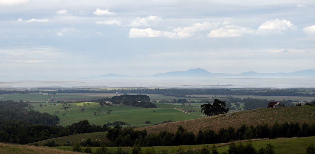
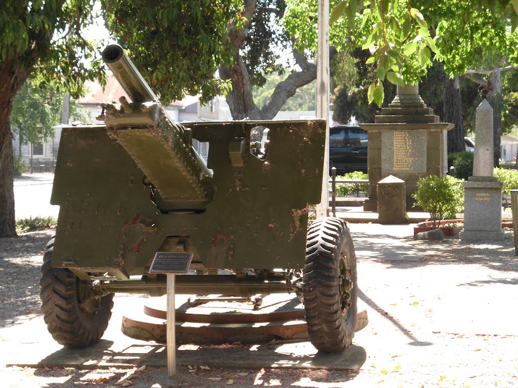
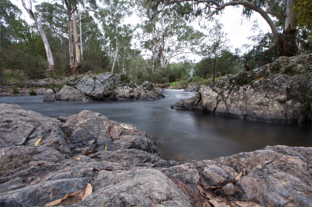
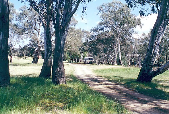
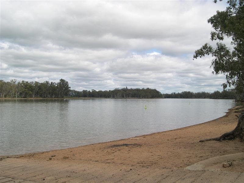
Photos of Stony Creek
Stony Creek Weather

Predicción: Light rain
Temperatura: 9.7°
Humedad: 95%
Hora actual: 03:46 AM
Amanece: 06:45 AM
Anochece: 05:45 PM
Woodstock West, Australia
Latitude: -36.8259 // Longitude: 143.97
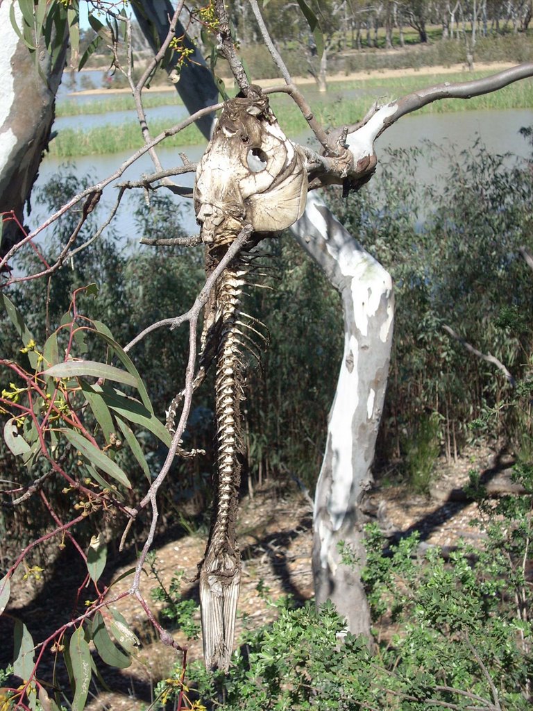
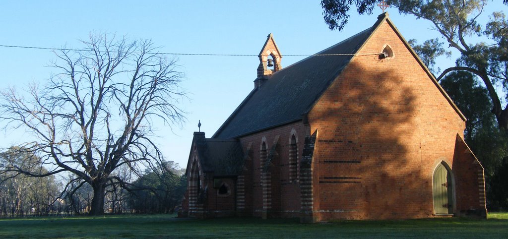
Photos of Woodstock West
Woodstock West Weather

Predicción: Overcast clouds
Temperatura: 10.6°
Humedad: 90%
Hora actual: 10:00 AM
Amanece: 06:51 AM
Anochece: 05:55 PM


