Distance between  Stirling and
  Ocean Grange
36.16 mi Straight Distance
134.58 mi Driving Distance
3 hours 29 mins Estimated Driving Time
The straight distance between Stirling (Victoria) and Ocean Grange (Victoria) is 36.16 mi, but the driving distance is 134.58 mi.
It takes to go from Stirling to Ocean Grange.
Driving directions from Stirling to Ocean Grange
Distance in kilometers
Straight distance: 58.19 km. Route distance: 216.54 km
Stirling, Australia
Latitude: -37.4421 // Longitude: 147.748
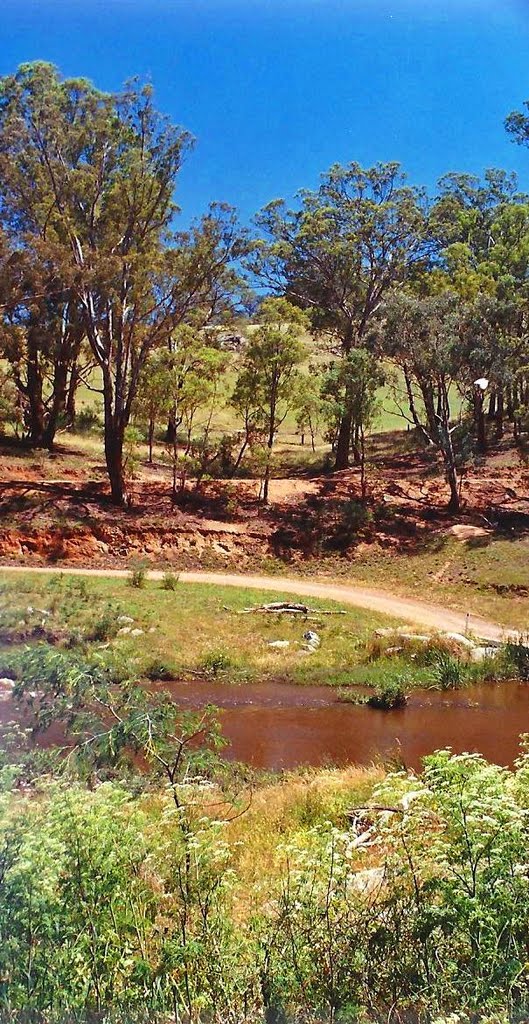
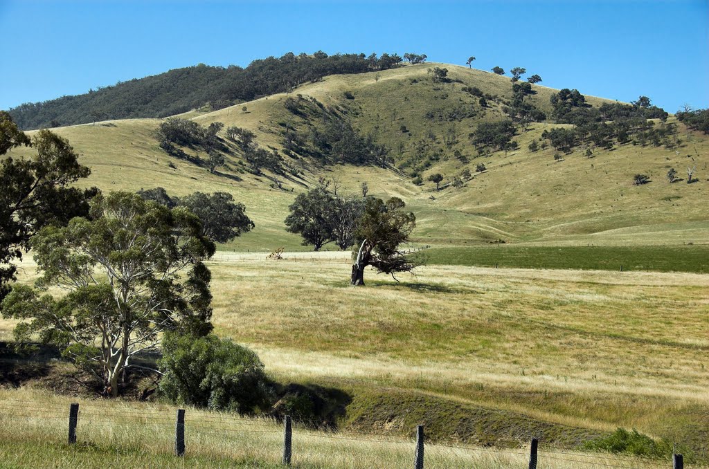
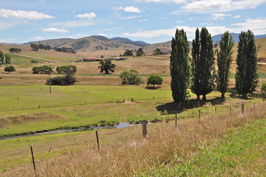
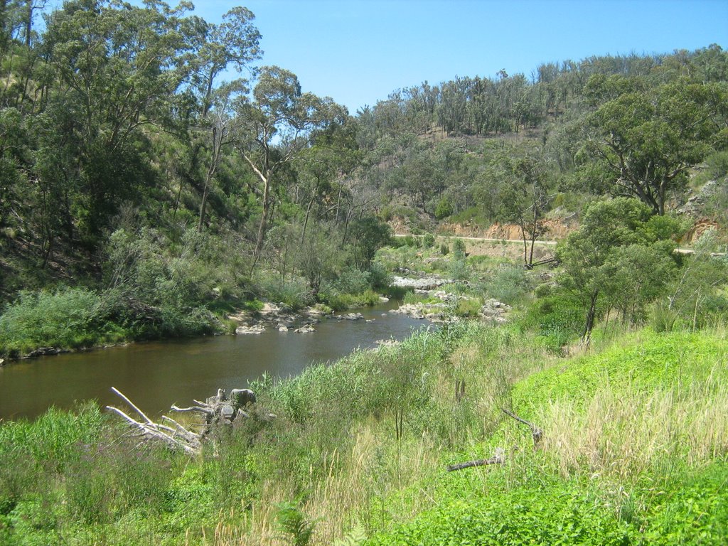
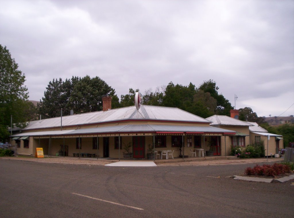
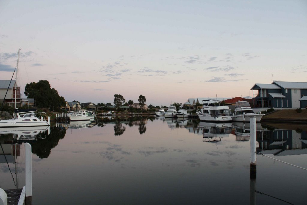
Photos of Stirling
Stirling Weather

Predicción: Broken clouds
Temperatura: 9.3°
Humedad: 85%
Hora actual: 12:00 AM
Amanece: 08:38 PM
Anochece: 07:37 AM
Ocean Grange, Australia
Latitude: -37.9653 // Longitude: 147.767
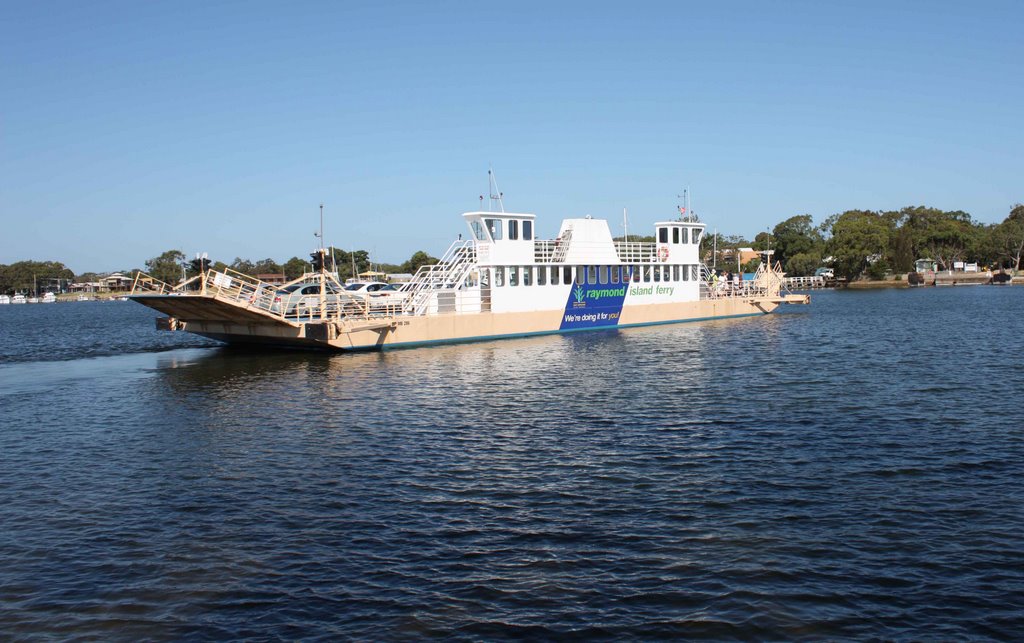
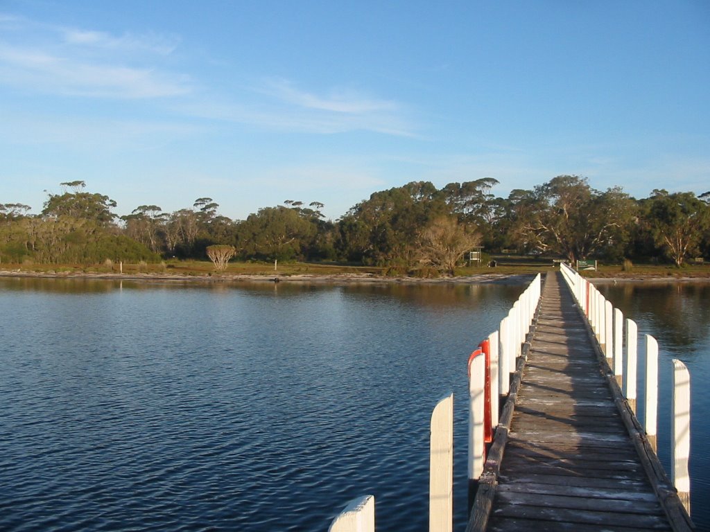
Photos of Ocean Grange
Ocean Grange Weather

Predicción: Overcast clouds
Temperatura: 10.1°
Humedad: 71%
Hora actual: 10:43 PM
Amanece: 06:38 AM
Anochece: 05:37 PM


