Distance between  Stawell and
  Heywood
97.36 mi Straight Distance
122.58 mi Driving Distance
2 hours 21 mins Estimated Driving Time
The straight distance between Stawell (Victoria) and Heywood (Victoria) is 97.36 mi, but the driving distance is 122.58 mi.
It takes 2 hours 32 mins to go from Stawell to Heywood.
Driving directions from Stawell to Heywood
Distance in kilometers
Straight distance: 156.65 km. Route distance: 197.23 km
Stawell, Australia
Latitude: -37.0564 // Longitude: 142.78
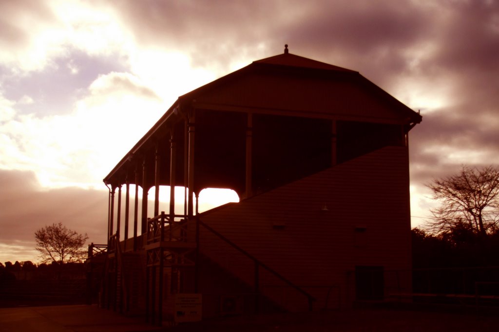
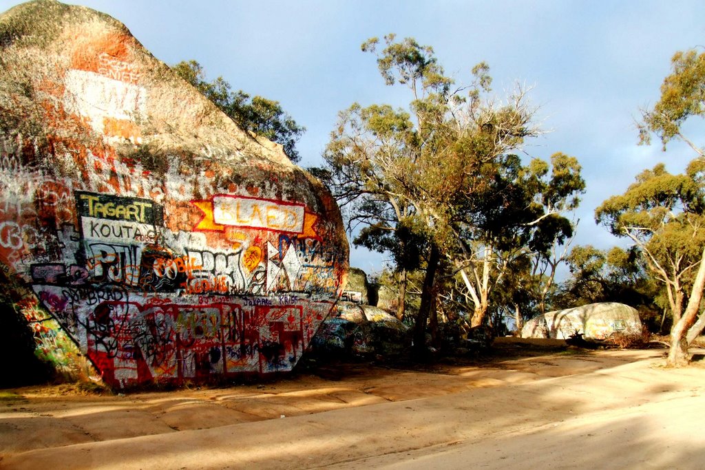
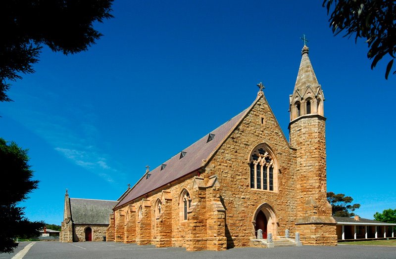
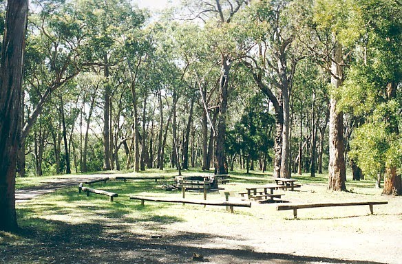
Photos of Stawell
Stawell Weather

Predicción: Scattered clouds
Temperatura: 12.5°
Humedad: 76%
Hora actual: 09:16 AM
Amanece: 06:56 AM
Anochece: 06:00 PM
Heywood, Australia
Latitude: -38.1313 // Longitude: 141.63
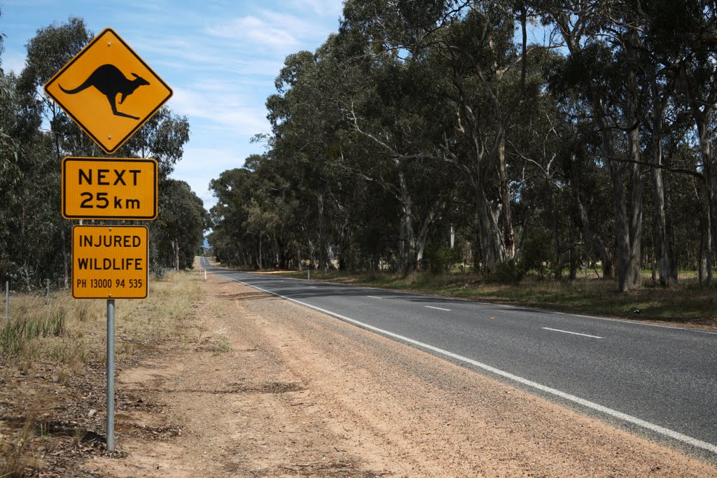
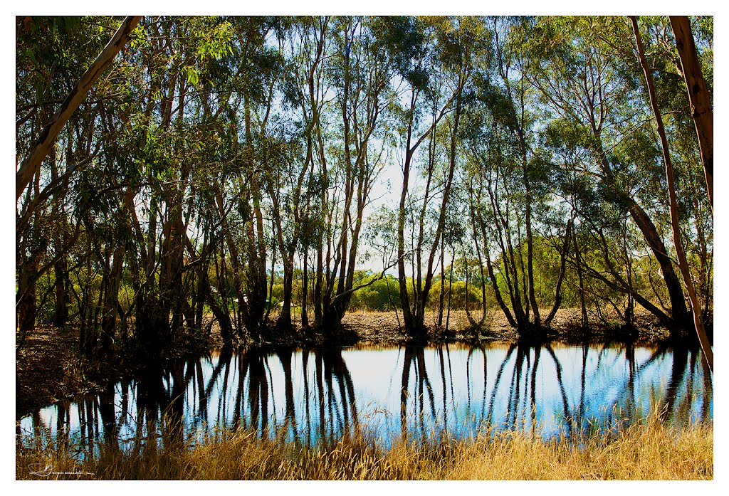
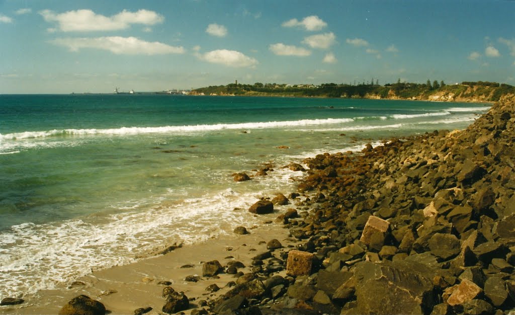
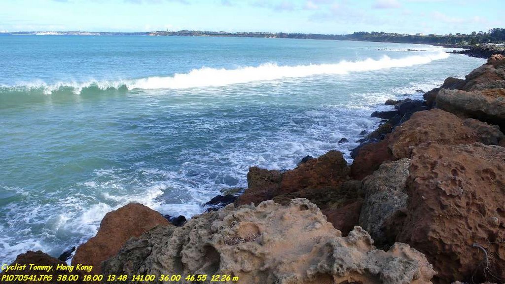
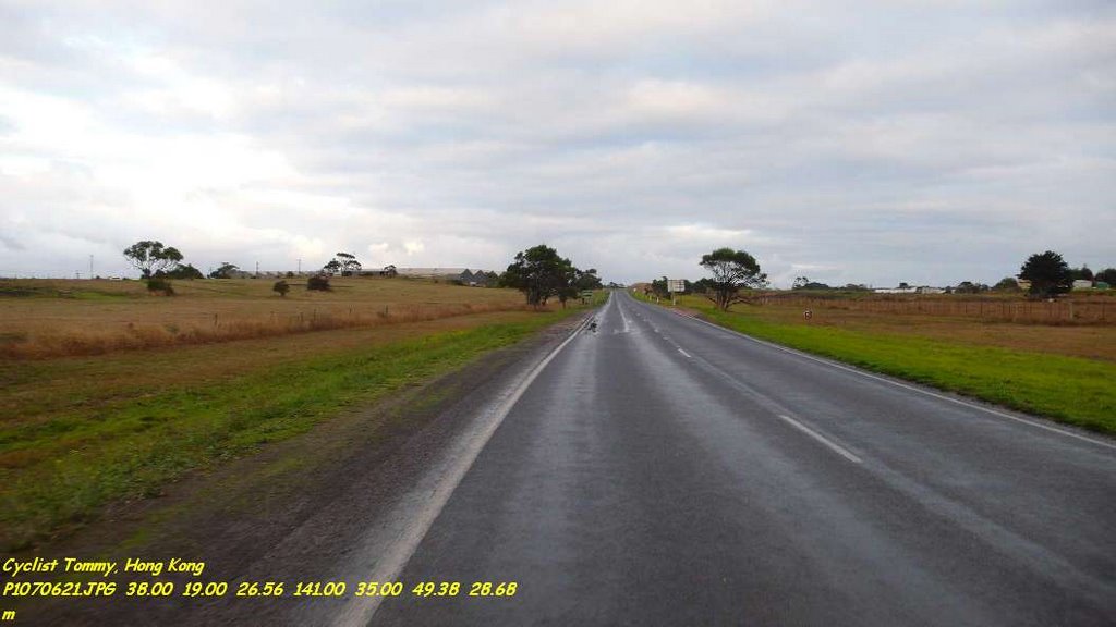
Photos of Heywood
Heywood Weather

Predicción: Overcast clouds
Temperatura: 14.2°
Humedad: 72%
Hora actual: 09:16 AM
Amanece: 07:02 AM
Anochece: 06:03 PM


