Distance between  Staceys Bridge and
  Athlone
45.50 mi Straight Distance
82.85 mi Driving Distance
1 hour 56 mins Estimated Driving Time
The straight distance between Staceys Bridge (Victoria) and Athlone (Victoria) is 45.50 mi, but the driving distance is 82.85 mi.
It takes to go from Staceys Bridge to Athlone.
Driving directions from Staceys Bridge to Athlone
Distance in kilometers
Straight distance: 73.20 km. Route distance: 133.31 km
Staceys Bridge, Australia
Latitude: -38.5608 // Longitude: 146.514
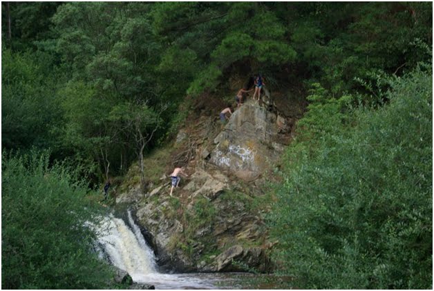
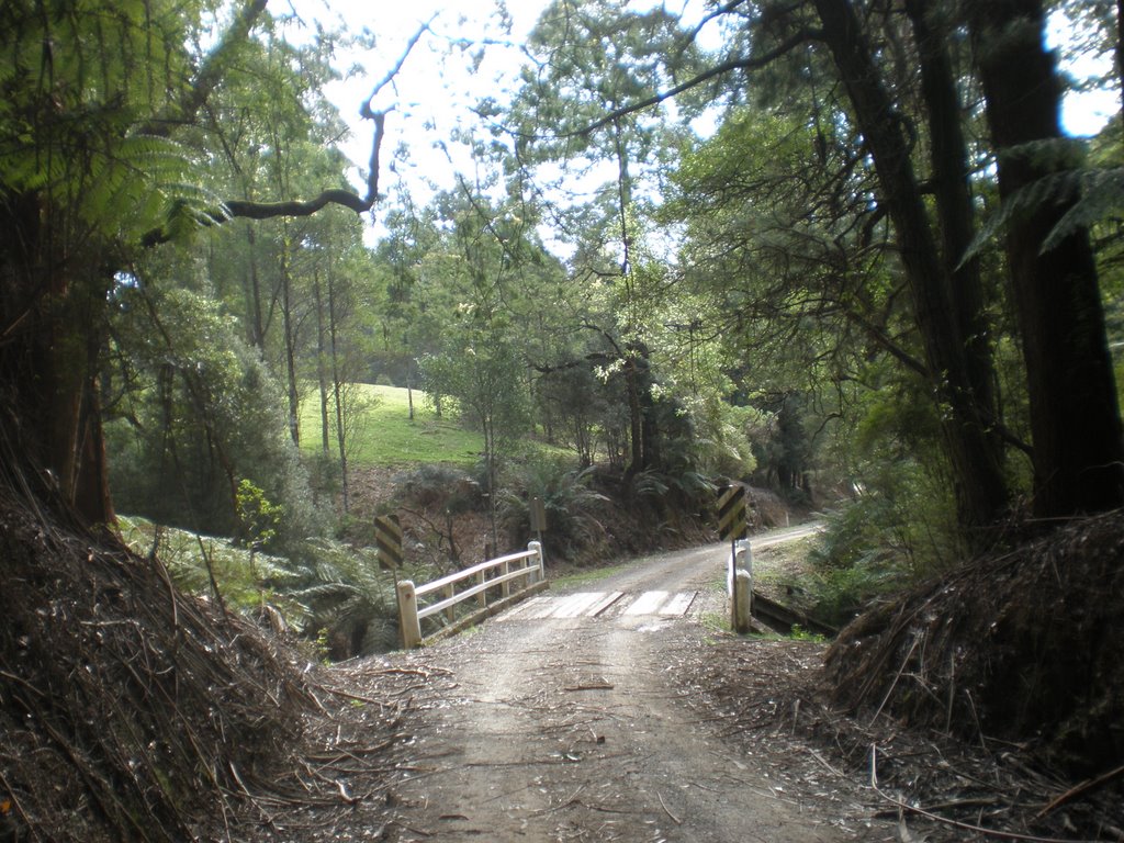
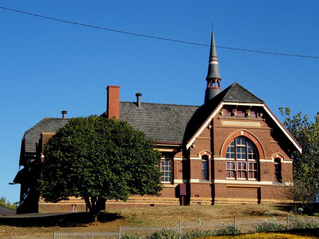
Photos of Staceys Bridge
Staceys Bridge Weather

Predicción: Overcast clouds
Temperatura: 11.9°
Humedad: 88%
Hora actual: 12:00 AM
Amanece: 08:42 PM
Anochece: 07:44 AM
Athlone, Australia
Latitude: -38.246 // Longitude: 145.776
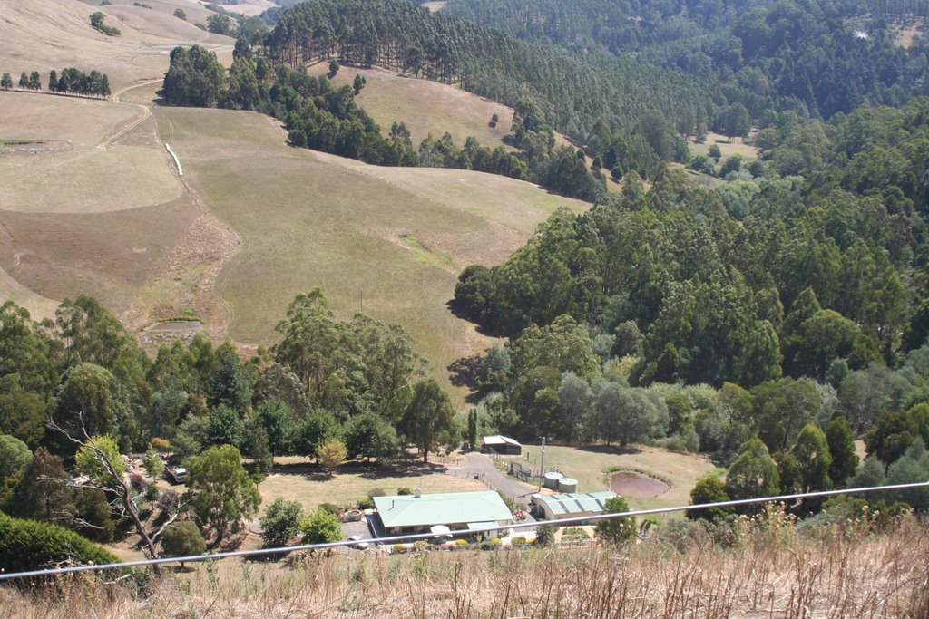
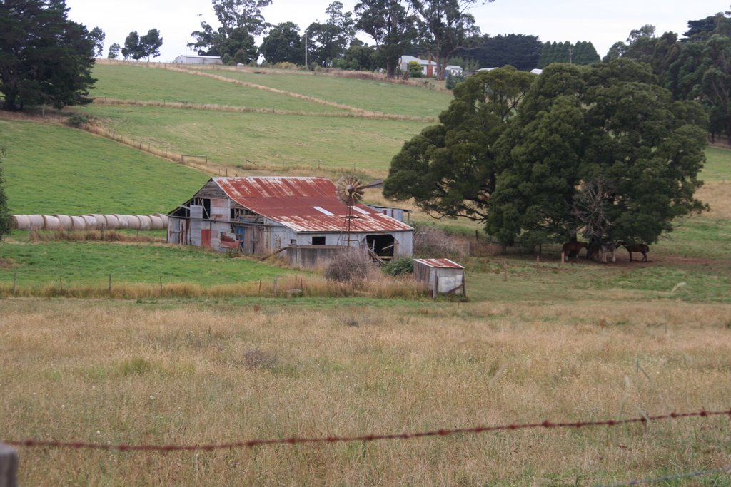
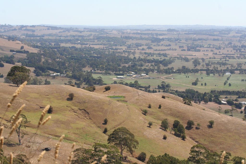
Photos of Athlone
Athlone Weather

Predicción: Broken clouds
Temperatura: 14.4°
Humedad: 85%
Hora actual: 12:00 AM
Amanece: 08:45 PM
Anochece: 07:47 AM


