Distance between  St Leonards and
  Ravenswood
1,255.36 mi Straight Distance
1,636.82 mi Driving Distance
1 day 3 hours Estimated Driving Time
The straight distance between St Leonards (Victoria) and Ravenswood (Queensland) is 1,255.36 mi, but the driving distance is 1,636.82 mi.
It takes 9 hours 2 mins to go from St Leonards to Ravenswood.
Driving directions from St Leonards to Ravenswood
Distance in kilometers
Straight distance: 2,019.88 km. Route distance: 2,633.65 km
St Leonards, Australia
Latitude: -38.171 // Longitude: 144.717
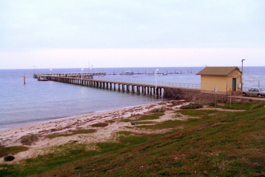
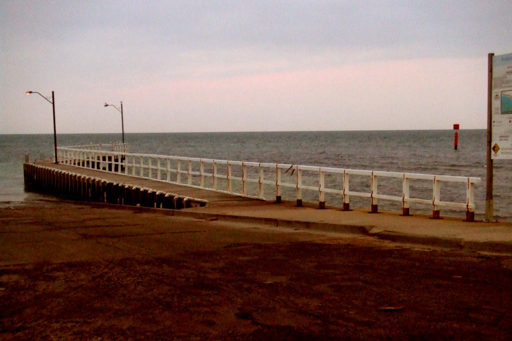
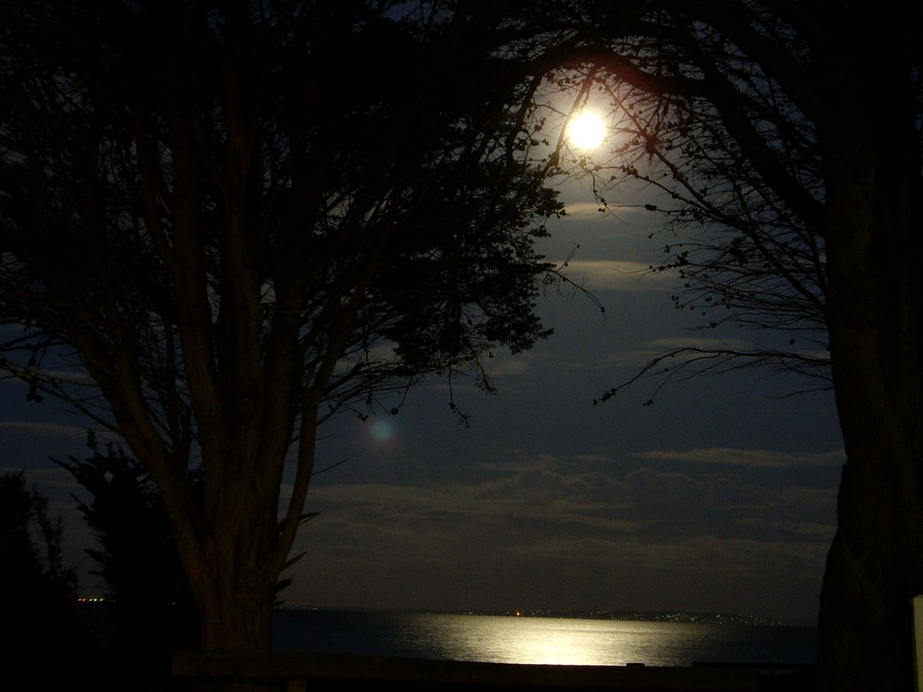
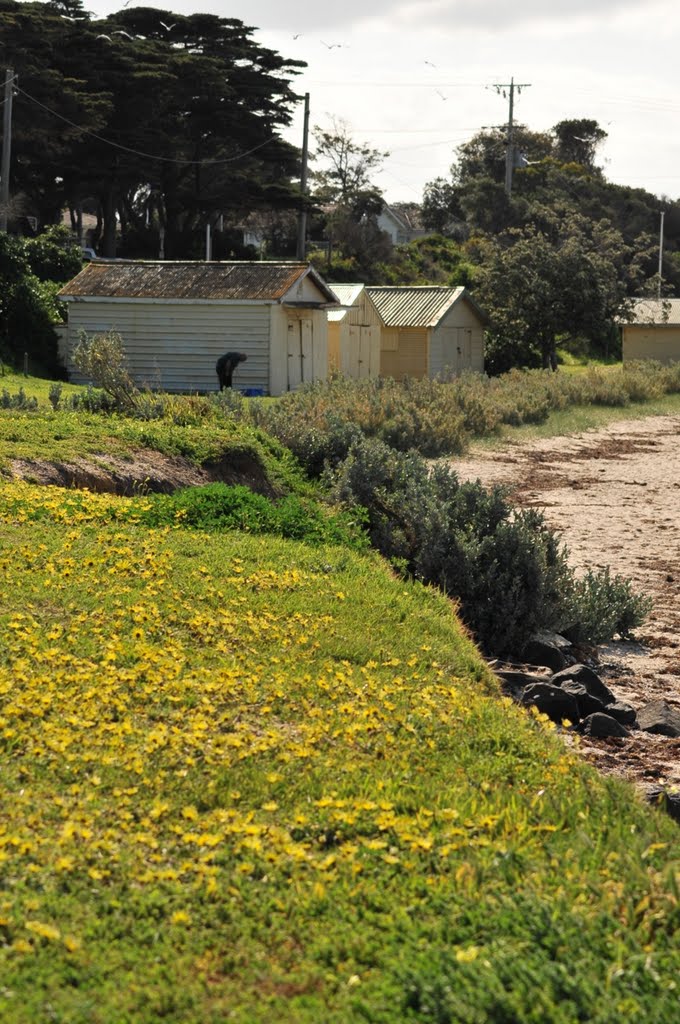
Photos of St Leonards
St Leonards Weather

Predicción: Light rain
Temperatura: 11.5°
Humedad: 73%
Hora actual: 05:29 AM
Amanece: 06:50 AM
Anochece: 05:51 PM
Ravenswood, Australia
Latitude: -20.0998 // Longitude: 146.891
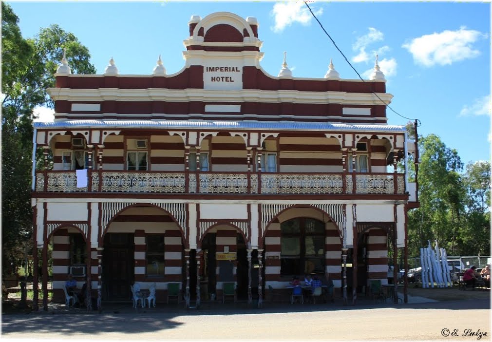
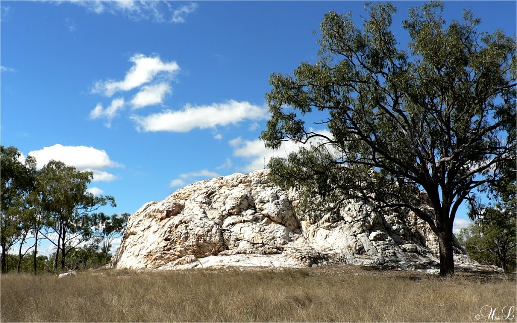
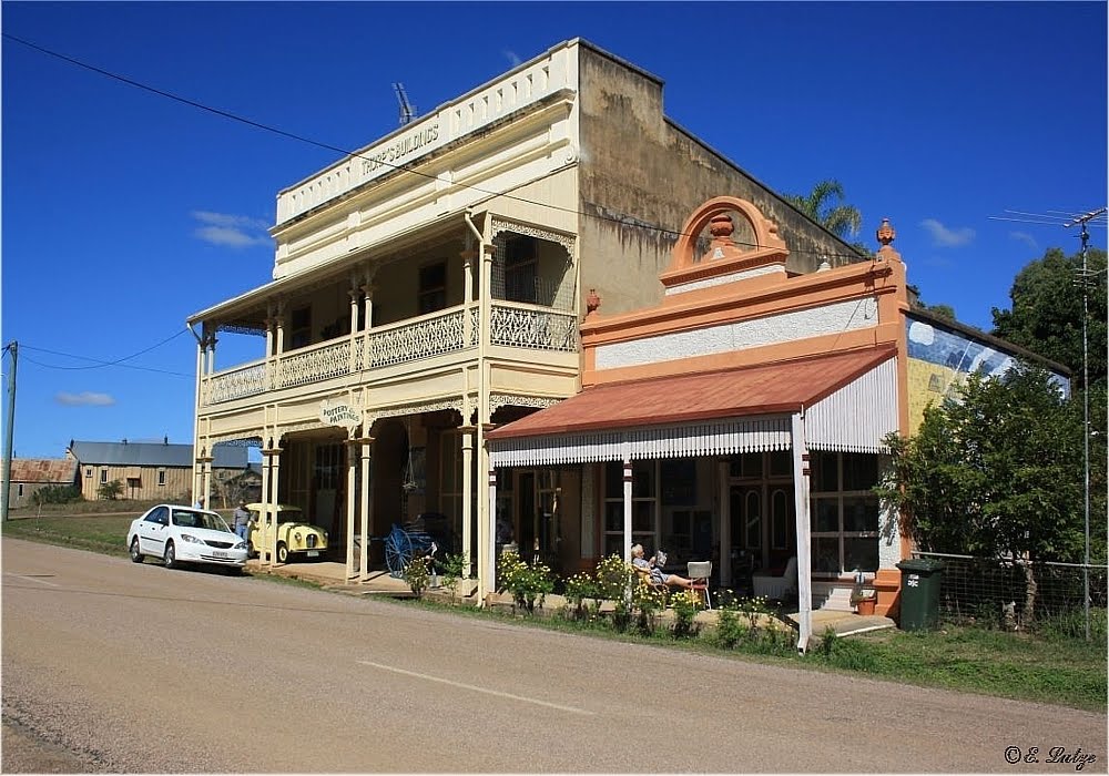
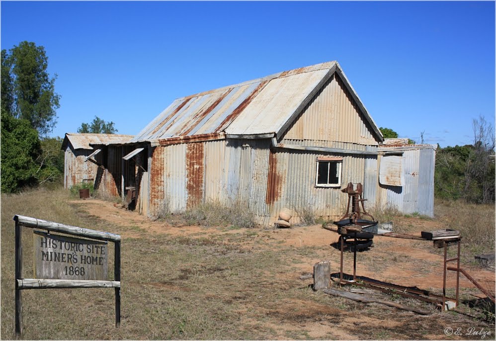
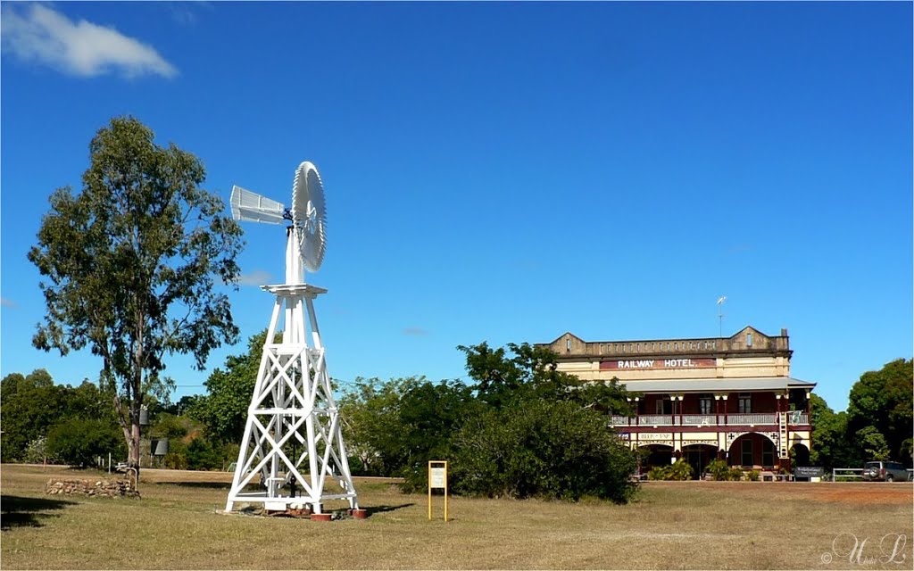
Photos of Ravenswood
Ravenswood Weather

Predicción: Broken clouds
Temperatura: 19.5°
Humedad: 96%
Hora actual: 10:00 AM
Amanece: 06:24 AM
Anochece: 05:59 PM


