Distance between  St Leonards and
  Cressy
59.68 mi Straight Distance
63.02 mi Driving Distance
1 hour 12 mins Estimated Driving Time
The straight distance between St Leonards (Victoria) and Cressy (Victoria) is 59.68 mi, but the driving distance is 63.02 mi.
It takes to go from St Leonards to Cressy.
Driving directions from St Leonards to Cressy
Distance in kilometers
Straight distance: 96.02 km. Route distance: 101.40 km
St Leonards, Australia
Latitude: -38.171 // Longitude: 144.717
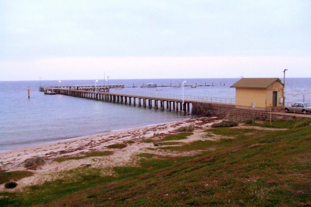
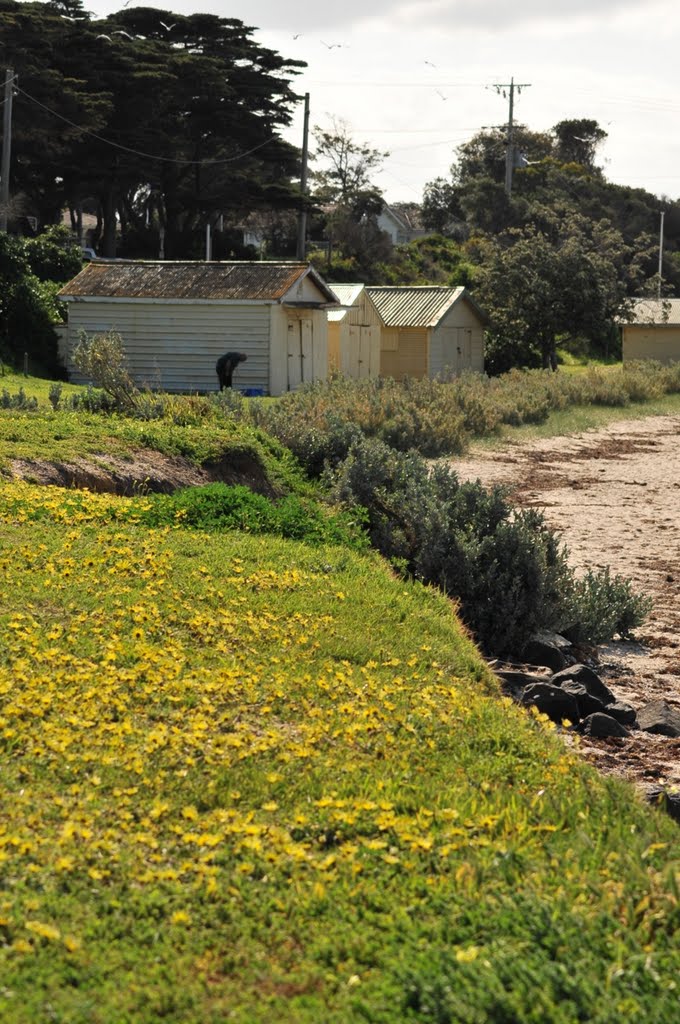
Photos of St Leonards
St Leonards Weather

Predicción: Overcast clouds
Temperatura: 11.1°
Humedad: 73%
Hora actual: 04:55 AM
Amanece: 06:50 AM
Anochece: 05:51 PM
Cressy, Australia
Latitude: -38.0308 // Longitude: 143.634
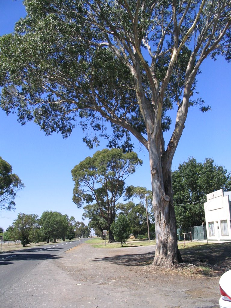
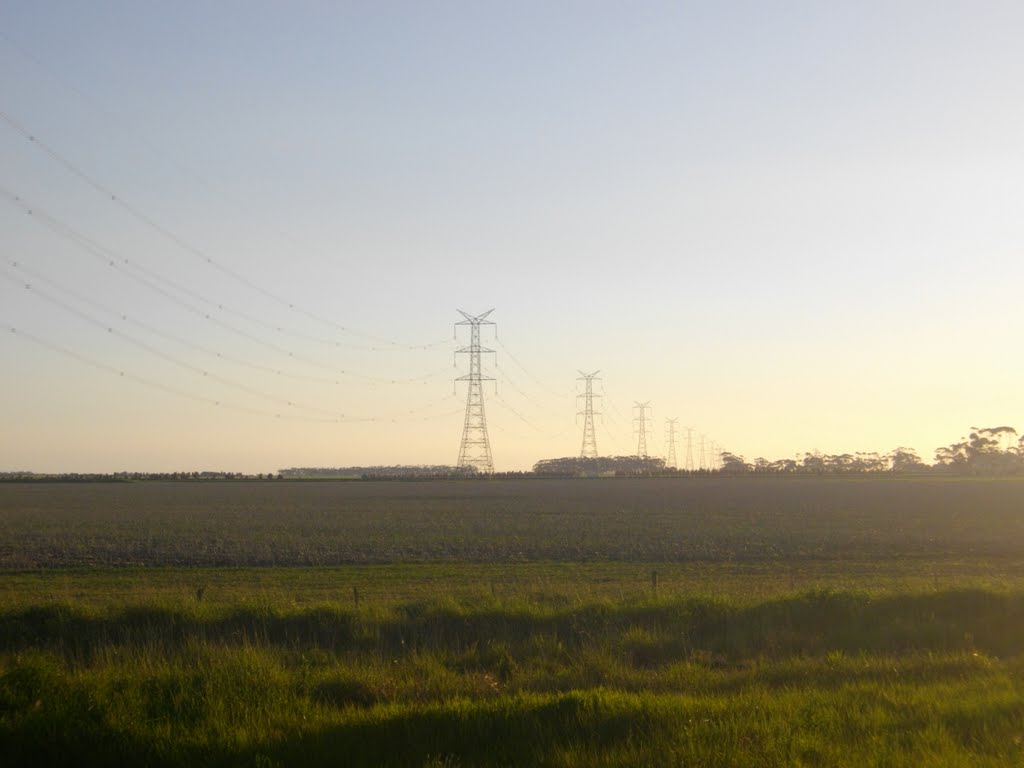
Photos of Cressy
Cressy Weather

Predicción: Light rain
Temperatura: 9.5°
Humedad: 91%
Hora actual: 10:00 AM
Amanece: 06:54 AM
Anochece: 05:55 PM


