Distance between  St Helens and
  Wyalong
415.75 mi Straight Distance
548.65 mi Driving Distance
9 hours 0 mins Estimated Driving Time
The straight distance between St Helens (Victoria) and Wyalong (New South Wales) is 415.75 mi, but the driving distance is 548.65 mi.
It takes to go from St Helens to Wyalong.
Driving directions from St Helens to Wyalong
Distance in kilometers
Straight distance: 668.94 km. Route distance: 882.78 km
St Helens, Australia
Latitude: -38.2569 // Longitude: 142.069
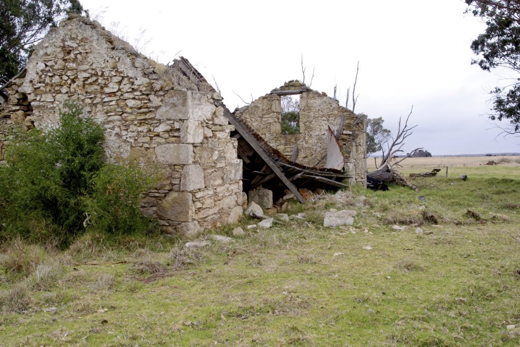
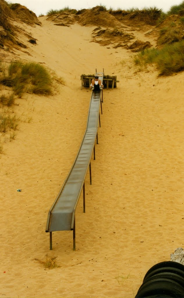
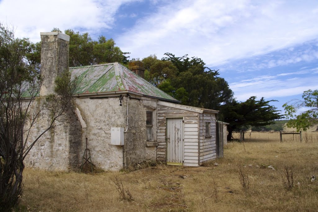
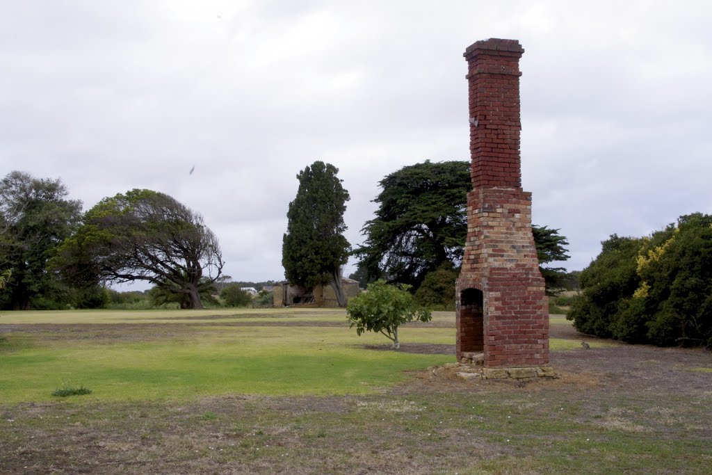
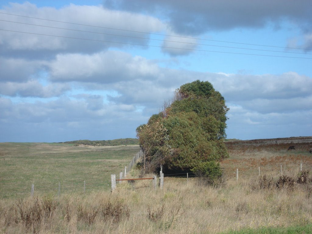
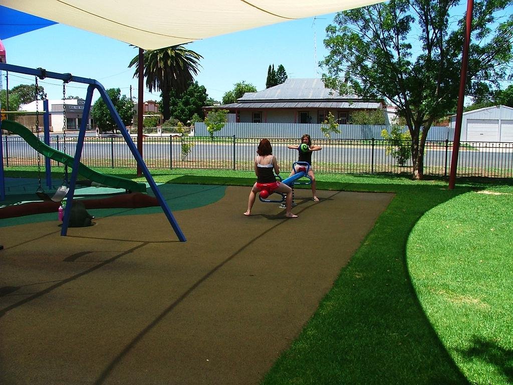
Photos of St Helens
St Helens Weather

Predicción: Overcast clouds
Temperatura: 15.7°
Humedad: 59%
Hora actual: 12:00 AM
Amanece: 09:02 PM
Anochece: 07:59 AM
Wyalong, Australia
Latitude: -33.9258 // Longitude: 147.242
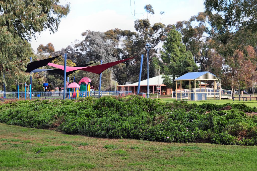
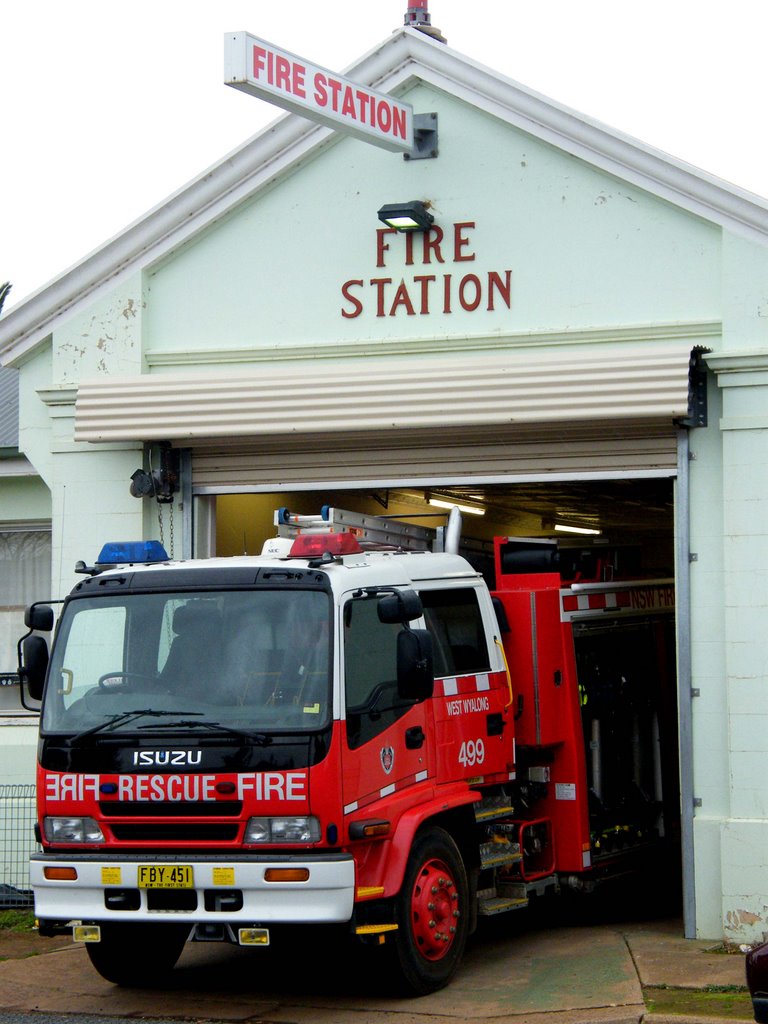
Photos of Wyalong
Wyalong Weather

Predicción: Clear sky
Temperatura: 19.2°
Humedad: 41%
Hora actual: 10:42 AM
Amanece: 06:36 AM
Anochece: 05:44 PM


