Distance between  St George and
  El Arish
725.62 mi Straight Distance
889.44 mi Driving Distance
15 hours 4 mins Estimated Driving Time
The straight distance between St George (Queensland) and El Arish (Queensland) is 725.62 mi, but the driving distance is 889.44 mi.
It takes to go from St George to El Arish.
Driving directions from St George to El Arish
Distance in kilometers
Straight distance: 1,167.52 km. Route distance: 1,431.10 km
St George, Australia
Latitude: -28.0385 // Longitude: 148.582
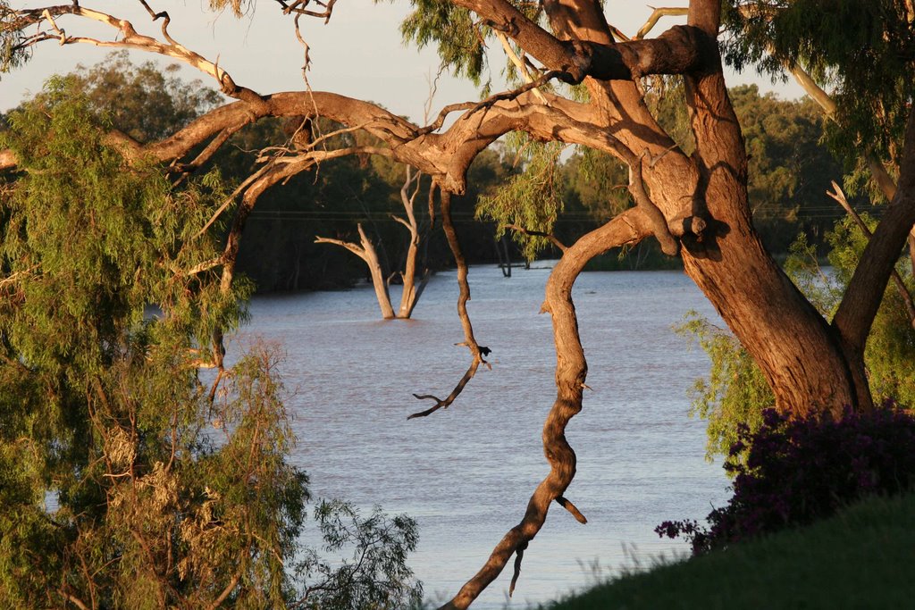
Photos of St George
St George Weather

Predicción: Clear sky
Temperatura: 17.7°
Humedad: 59%
Hora actual: 01:12 AM
Amanece: 06:25 AM
Anochece: 05:44 PM
El Arish, Australia
Latitude: -17.8067 // Longitude: 146.007
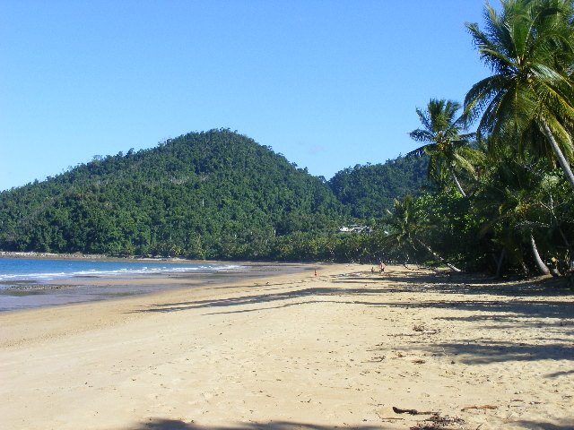
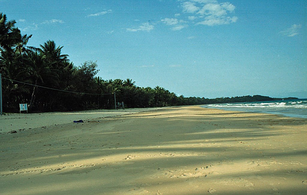
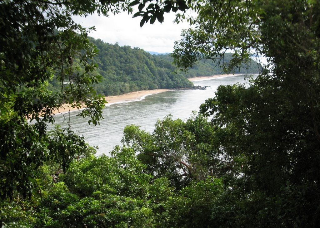
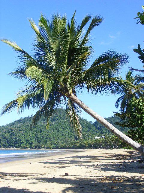
Photos of El Arish
El Arish Weather

Predicción: Broken clouds
Temperatura: 23.3°
Humedad: 94%
Hora actual: 10:00 AM
Amanece: 06:26 AM
Anochece: 06:03 PM


