Distance between  Springwood and
  Hat Head
233.23 mi Straight Distance
307.86 mi Driving Distance
5 hours 9 mins Estimated Driving Time
The straight distance between Springwood (New South Wales) and Hat Head (New South Wales) is 233.23 mi, but the driving distance is 307.86 mi.
It takes to go from Springwood to Hat Head.
Driving directions from Springwood to Hat Head
Distance in kilometers
Straight distance: 375.27 km. Route distance: 495.34 km
Springwood, Australia
Latitude: -33.6989 // Longitude: 150.564
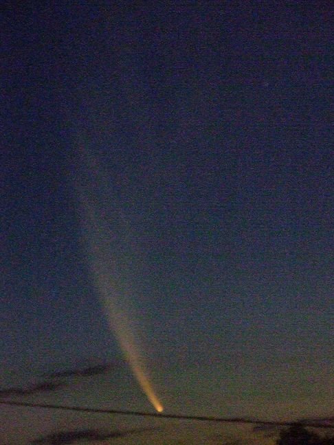
Photos of Springwood
Springwood Weather

Predicción: Light rain
Temperatura: 16.0°
Humedad: 63%
Hora actual: 09:49 AM
Amanece: 06:23 AM
Anochece: 05:30 PM
Hat Head, Australia
Latitude: -31.0586 // Longitude: 153.055
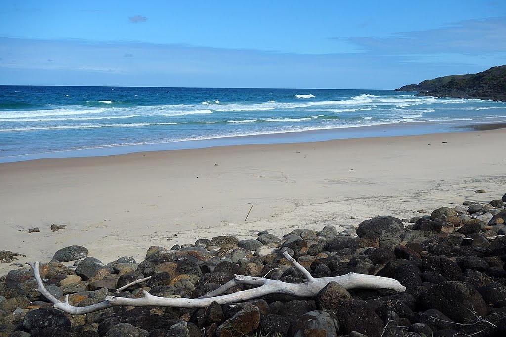
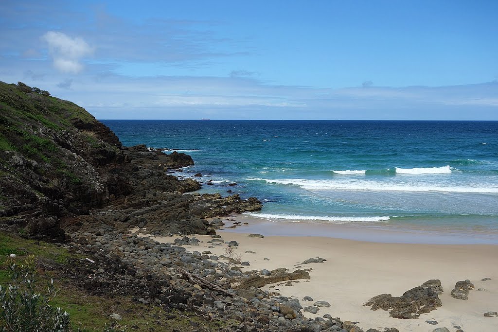
Photos of Hat Head
Hat Head Weather

Predicción: Few clouds
Temperatura: 21.1°
Humedad: 67%
Hora actual: 10:00 AM
Amanece: 06:10 AM
Anochece: 05:23 PM


