Distance between  Springhurst and
  Orbost
151.93 mi Straight Distance
224.24 mi Driving Distance
4 hours 16 mins Estimated Driving Time
The straight distance between Springhurst (Victoria) and Orbost (Victoria) is 151.93 mi, but the driving distance is 224.24 mi.
It takes to go from Springhurst to Orbost.
Driving directions from Springhurst to Orbost
Distance in kilometers
Straight distance: 244.45 km. Route distance: 360.80 km
Springhurst, Australia
Latitude: -36.1853 // Longitude: 146.469
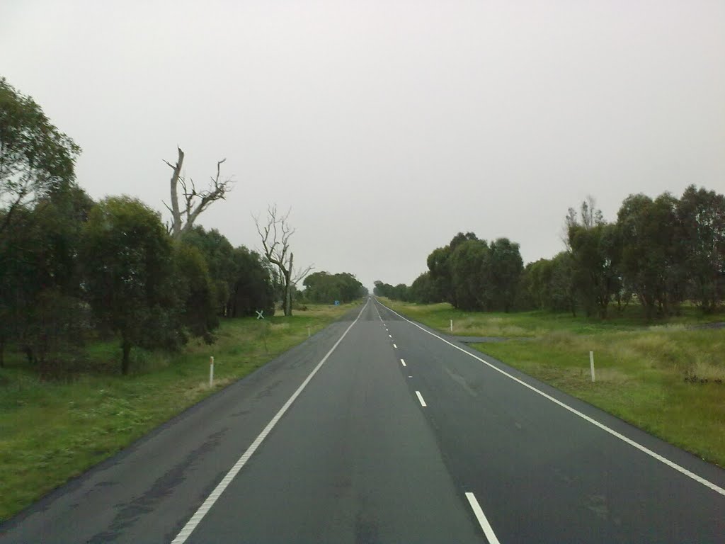
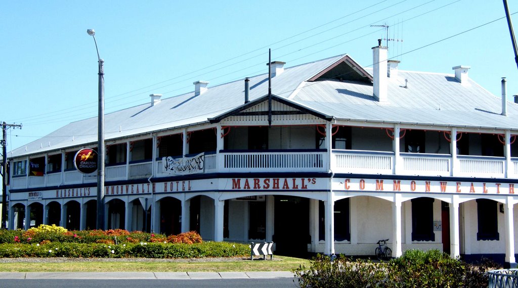
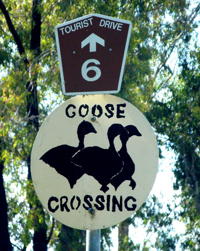
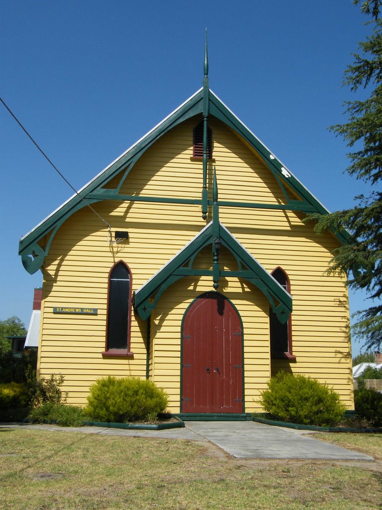
Photos of Springhurst
Springhurst Weather

Predicción: Broken clouds
Temperatura: 6.1°
Humedad: 91%
Hora actual: 12:00 AM
Amanece: 08:42 PM
Anochece: 07:44 AM
Orbost, Australia
Latitude: -37.7072 // Longitude: 148.455
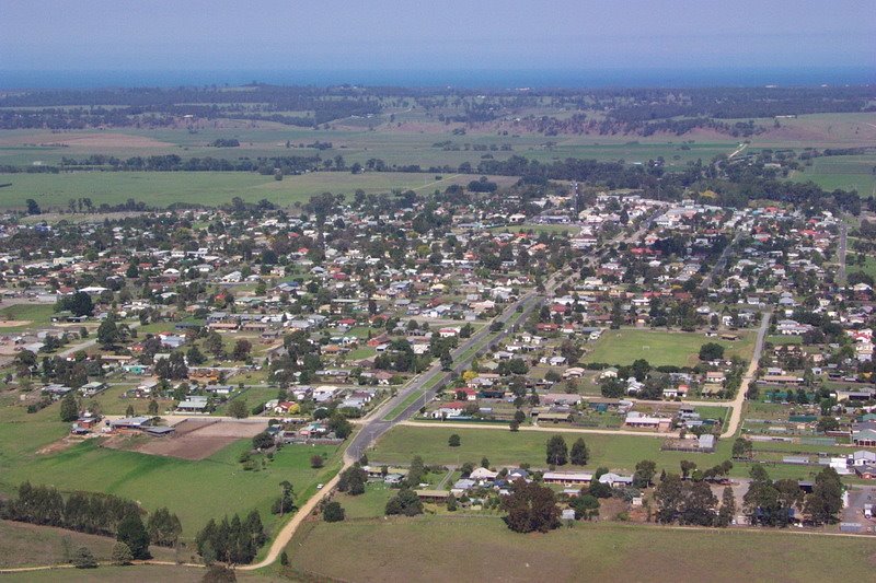
Photos of Orbost
Orbost Weather

Predicción: Scattered clouds
Temperatura: 12.1°
Humedad: 91%
Hora actual: 06:44 AM
Amanece: 06:36 AM
Anochece: 05:34 PM


