Distance between  Spring Beach and
  Poatina
72.61 mi Straight Distance
124.35 mi Driving Distance
2 hours 22 mins Estimated Driving Time
The straight distance between Spring Beach (Tasmania) and Poatina (Tasmania) is 72.61 mi, but the driving distance is 124.35 mi.
It takes to go from Spring Beach to Poatina.
Driving directions from Spring Beach to Poatina
Distance in kilometers
Straight distance: 116.83 km. Route distance: 200.09 km
Spring Beach, Australia
Latitude: -42.579 // Longitude: 147.909
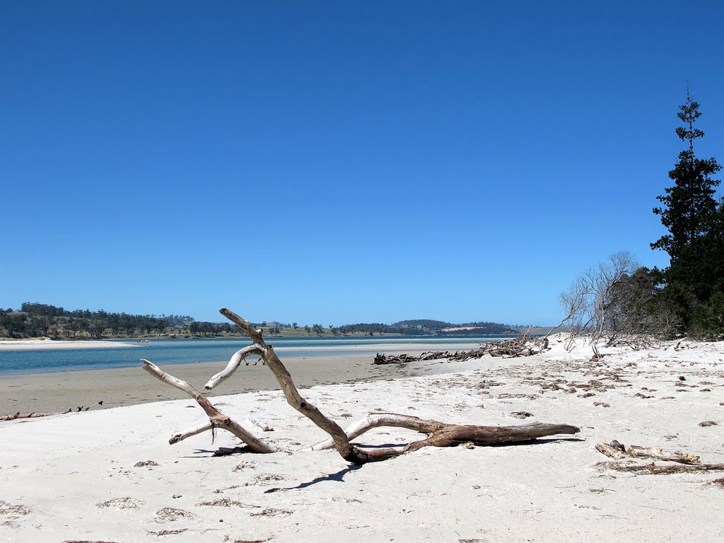
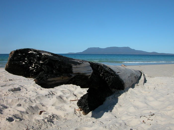
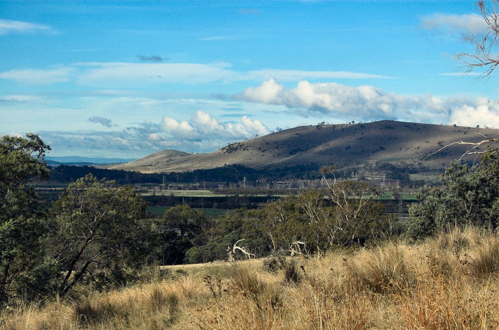
Photos of Spring Beach
Spring Beach Weather

Predicción: Broken clouds
Temperatura: 13.9°
Humedad: 58%
Hora actual: 10:29 AM
Amanece: 06:45 AM
Anochece: 05:29 PM
Poatina, Australia
Latitude: -41.7993 // Longitude: 146.958
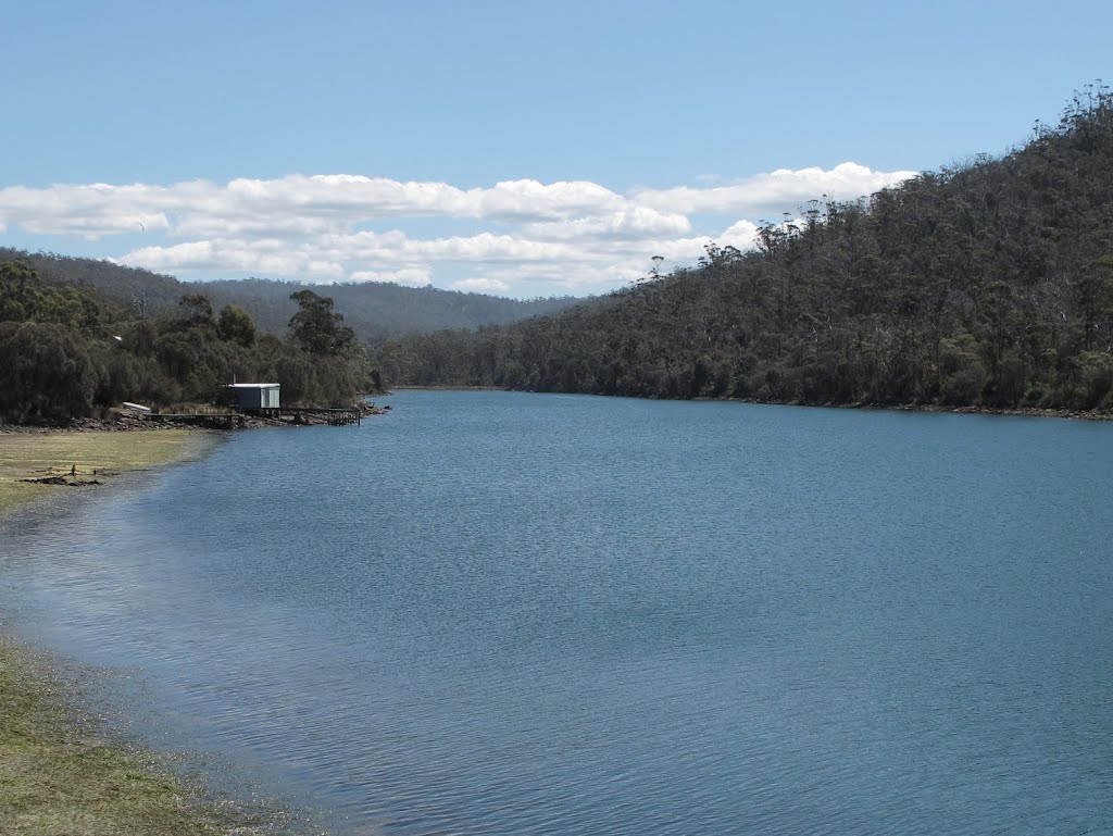
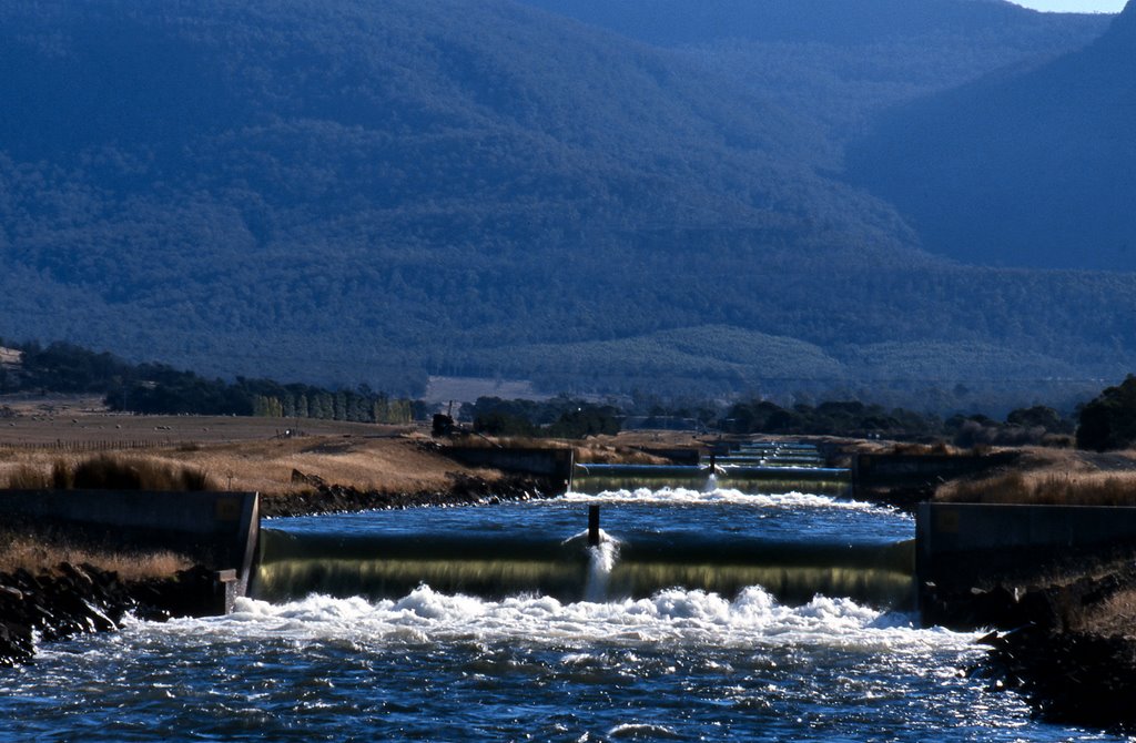
Photos of Poatina
Poatina Weather

Predicción: Scattered clouds
Temperatura: 12.8°
Humedad: 51%
Hora actual: 11:00 AM
Amanece: 06:47 AM
Anochece: 05:34 PM


