Distance between  South Yunderup and
  Cranbrook
156.29 mi Straight Distance
212.92 mi Driving Distance
3 hours 26 mins Estimated Driving Time
The straight distance between South Yunderup (Western Australia) and Cranbrook (Western Australia) is 156.29 mi, but the driving distance is 212.92 mi.
It takes to go from South Yunderup to Cranbrook.
Driving directions from South Yunderup to Cranbrook
Distance in kilometers
Straight distance: 251.48 km. Route distance: 342.59 km
South Yunderup, Australia
Latitude: -32.5849 // Longitude: 115.781
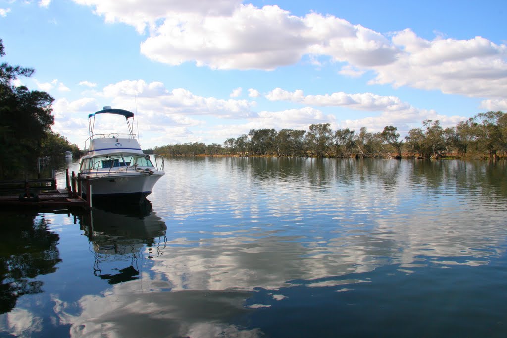
Photos of South Yunderup
South Yunderup Weather

Predicción: Clear sky
Temperatura: 21.7°
Humedad: 73%
Hora actual: 07:10 PM
Amanece: 06:39 AM
Anochece: 05:53 PM
Cranbrook, Australia
Latitude: -34.2962 // Longitude: 117.554
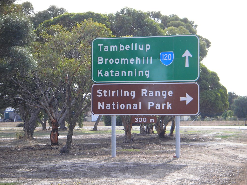
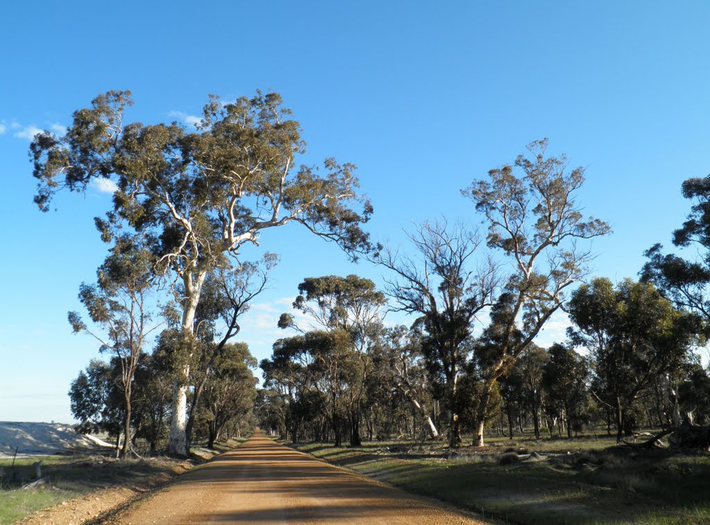
Photos of Cranbrook
Cranbrook Weather

Predicción: Clear sky
Temperatura: 16.2°
Humedad: 78%
Hora actual: 08:00 AM
Amanece: 06:33 AM
Anochece: 05:45 PM


