Distance between  South Geelong and
  Sugarloaf
47.32 mi Straight Distance
58.16 mi Driving Distance
1 hour 22 mins Estimated Driving Time
The straight distance between South Geelong (Victoria) and Sugarloaf (Victoria) is 47.32 mi, but the driving distance is 58.16 mi.
It takes 17 hours 4 mins to go from South Geelong to Sugarloaf.
Driving directions from South Geelong to Sugarloaf
Distance in kilometers
Straight distance: 76.14 km. Route distance: 93.58 km
South Geelong, Australia
Latitude: -38.1618 // Longitude: 144.355
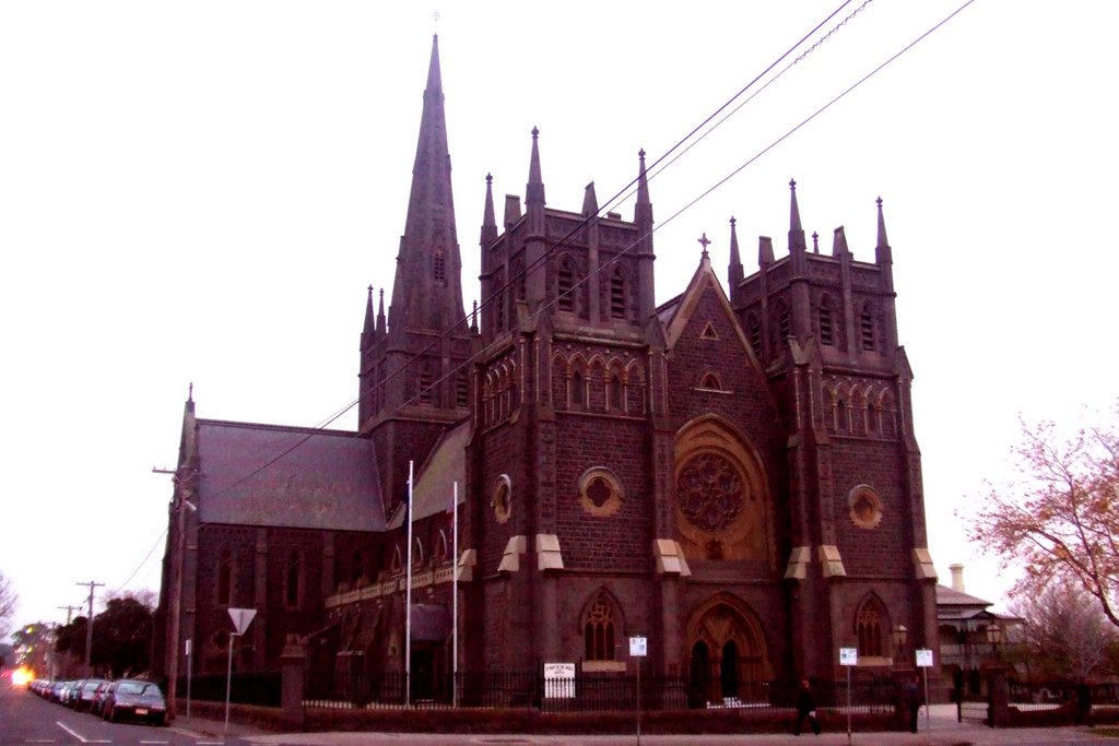
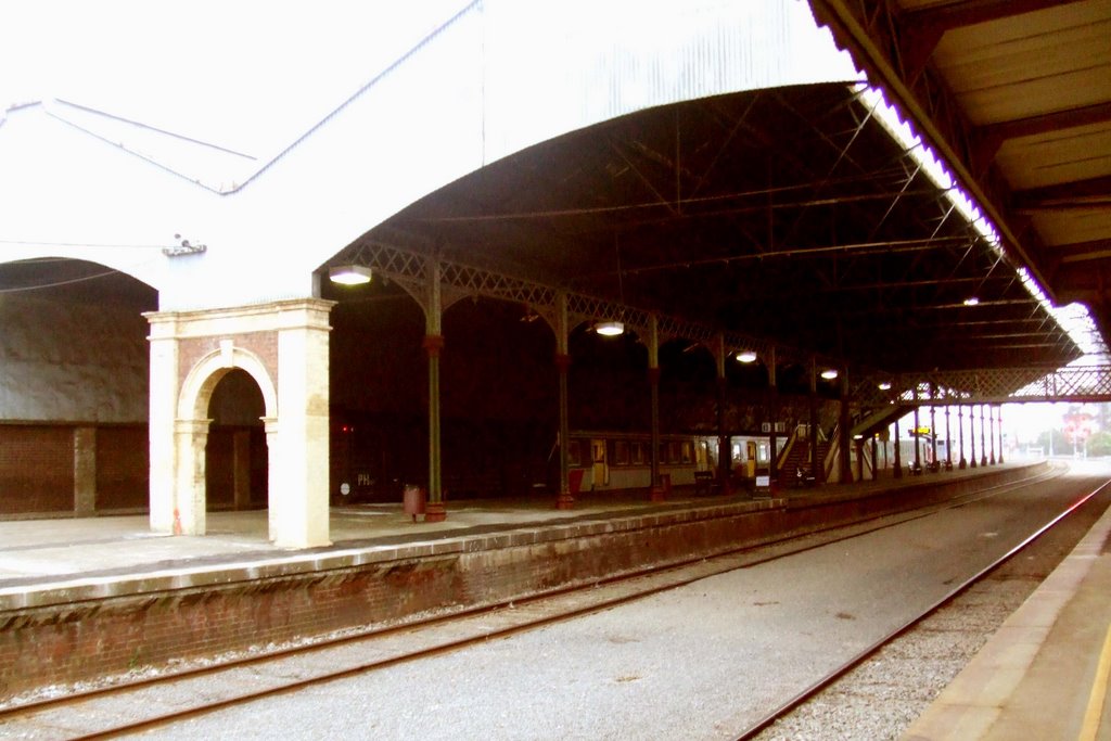
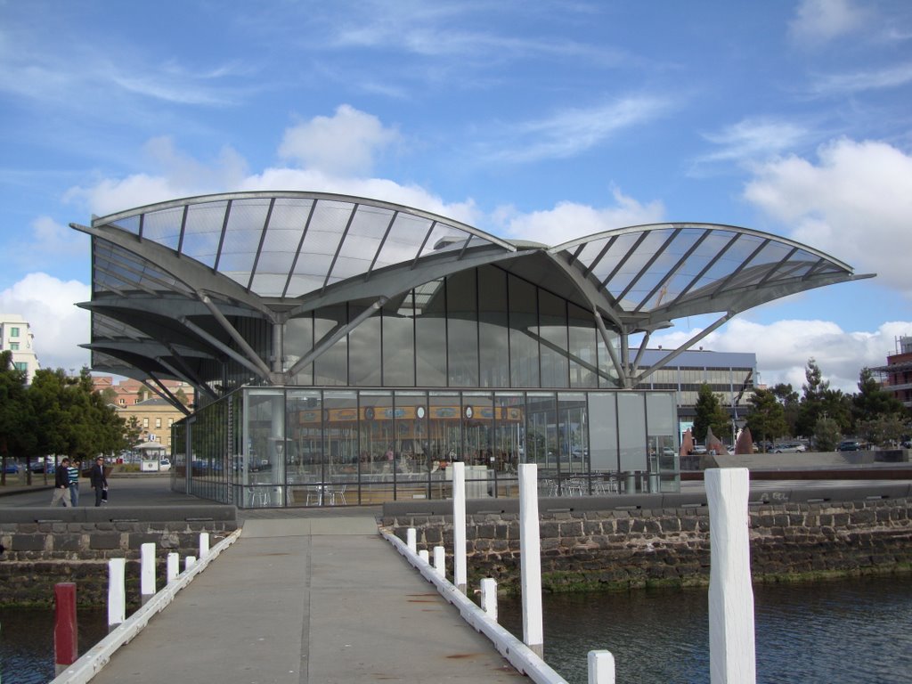
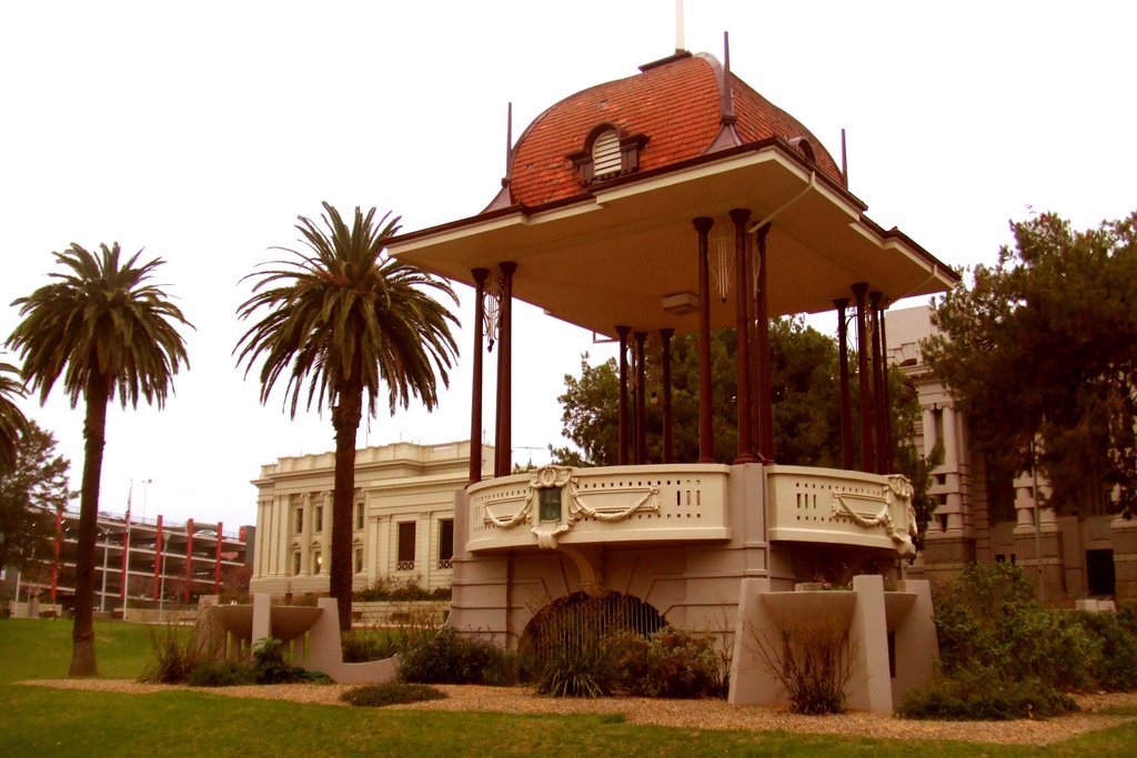
Photos of South Geelong
South Geelong Weather

Predicción: Overcast clouds
Temperatura: 15.7°
Humedad: 79%
Hora actual: 12:31 PM
Amanece: 06:53 AM
Anochece: 05:49 PM
Sugarloaf, Australia
Latitude: -38.6942 // Longitude: 143.805
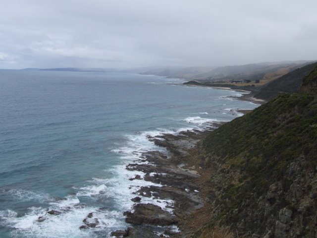
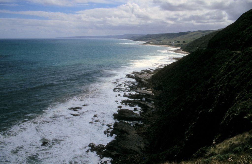
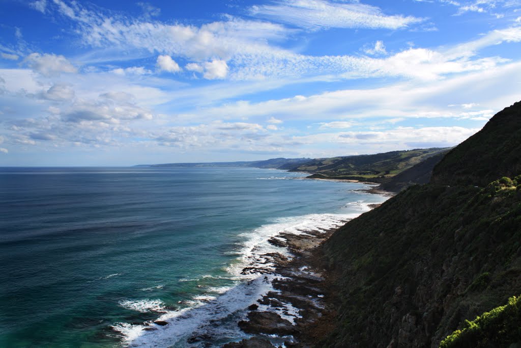
Photos of Sugarloaf
Sugarloaf Weather

Predicción: Few clouds
Temperatura: 13.9°
Humedad: 62%
Hora actual: 10:00 AM
Amanece: 06:56 AM
Anochece: 05:51 PM


