Distance between  Sorell and
  St Marys
88.90 mi Straight Distance
124.18 mi Driving Distance
2 hours 12 mins Estimated Driving Time
The straight distance between Sorell (Tasmania) and St Marys (Tasmania) is 88.90 mi, but the driving distance is 124.18 mi.
It takes 1 day 6 hours to go from Sorell to St Marys.
Driving directions from Sorell to St Marys
Distance in kilometers
Straight distance: 143.04 km. Route distance: 199.81 km
Sorell, Australia
Latitude: -42.7813 // Longitude: 147.563
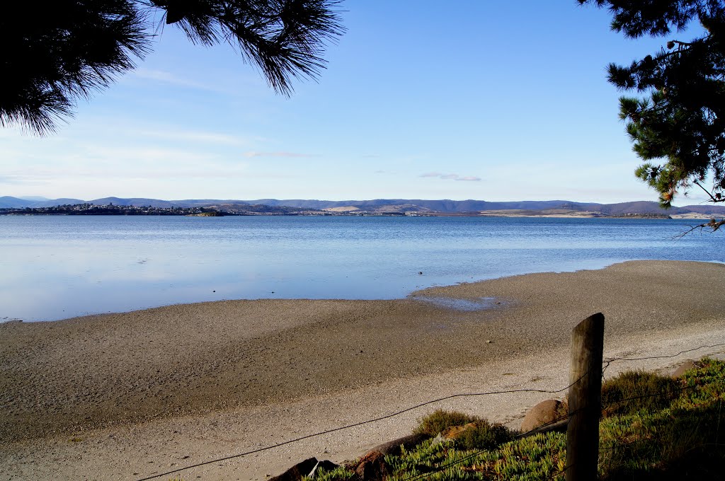
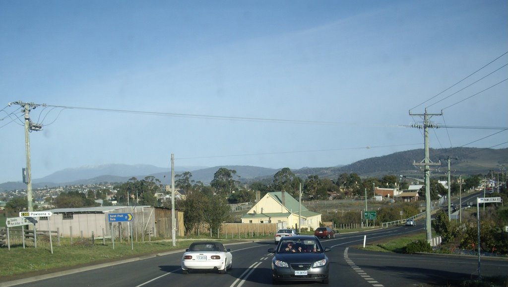
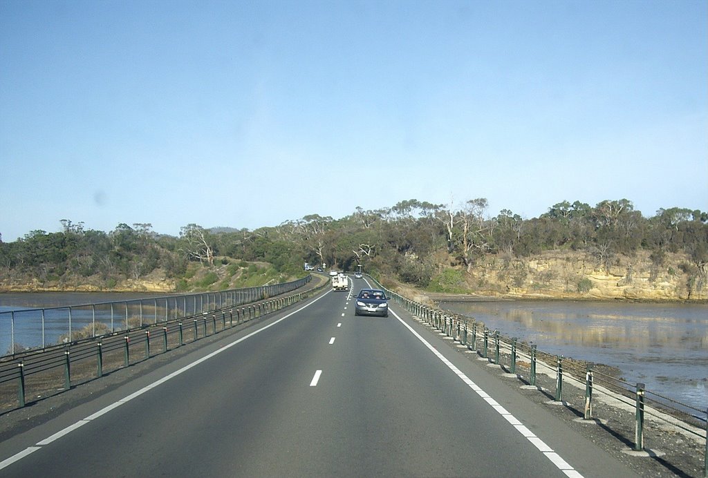
Photos of Sorell
Sorell Weather

Predicción: Overcast clouds
Temperatura: 8.9°
Humedad: 76%
Hora actual: 12:28 AM
Amanece: 06:44 AM
Anochece: 05:34 PM
St Marys, Australia
Latitude: -41.58 // Longitude: 148.185
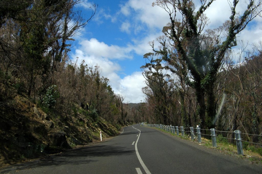
Photos of St Marys
St Marys Weather

Predicción: Overcast clouds
Temperatura: 9.9°
Humedad: 87%
Hora actual: 12:28 AM
Amanece: 06:40 AM
Anochece: 05:33 PM


