
Distance between  Solomontown and
  Furner
318.27 mi Straight Distance
384.37 mi Driving Distance
6 hours 6 mins Estimated Driving Time
The straight distance between Solomontown (South Australia) and Furner (South Australia) is 318.27 mi, but the driving distance is 384.37 mi.
It takes to go from Solomontown to Furner.
Driving directions from Solomontown to Furner
Distance in kilometers
Straight distance: 512.09 km. Route distance: 618.45 km
Solomontown, Australia
Latitude: -33.1847 // Longitude: 138.026
Photos of Solomontown


Solomontown Weather

Predicción: Clear sky
Temperatura: 18.2°
Humedad: 49%
Hora actual: 09:24 AM
Amanece: 06:41 AM
Anochece: 05:53 PM
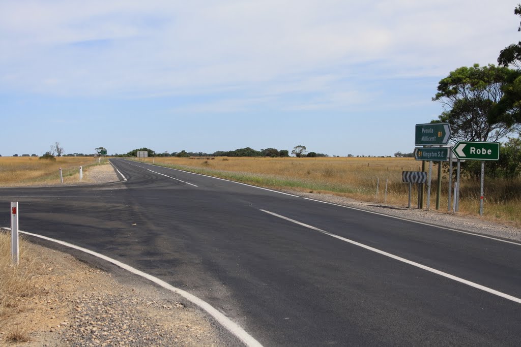
Furner, Australia
Latitude: -37.389 // Longitude: 140.333
Photos of Furner
")


Furner Weather

Predicción: Broken clouds
Temperatura: 16.1°
Humedad: 58%
Hora actual: 09:30 AM
Amanece: 06:36 AM
Anochece: 05:39 PM


