Distance between  Snowtown and
  Jamestown
46.23 mi Straight Distance
67.73 mi Driving Distance
1 hour 2 mins Estimated Driving Time
The straight distance between Snowtown (South Australia) and Jamestown (South Australia) is 46.23 mi, but the driving distance is 67.73 mi.
It takes 1 hour 13 mins to go from Snowtown to Jamestown.
Driving directions from Snowtown to Jamestown
Distance in kilometers
Straight distance: 74.39 km. Route distance: 108.97 km
Snowtown, Australia
Latitude: -33.786 // Longitude: 138.207
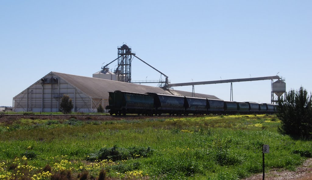
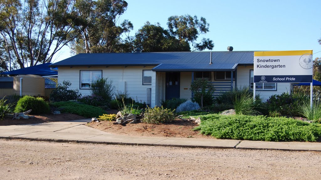
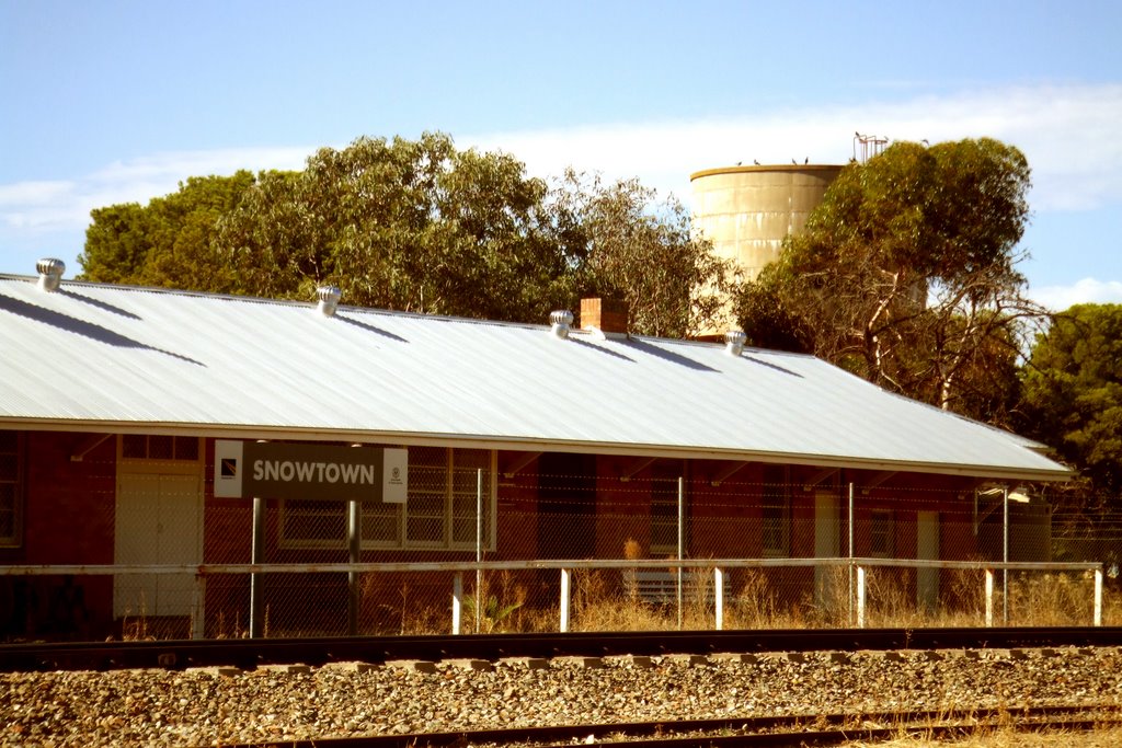
Photos of Snowtown
Snowtown Weather

Predicción: Few clouds
Temperatura: 11.5°
Humedad: 84%
Hora actual: 12:00 AM
Amanece: 09:10 PM
Anochece: 08:22 AM
Jamestown, Australia
Latitude: -33.205 // Longitude: 138.605
Photos of Jamestown
Jamestown Weather

Predicción: Clear sky
Temperatura: 11.3°
Humedad: 73%
Hora actual: 03:51 AM
Amanece: 06:39 AM
Anochece: 05:50 PM


