Distance between  Shoalhaven Heads and
  Shipley
86.84 mi Straight Distance
145.70 mi Driving Distance
2 hours 46 mins Estimated Driving Time
The straight distance between Shoalhaven Heads (New South Wales) and Shipley (New South Wales) is 86.84 mi, but the driving distance is 145.70 mi.
It takes 2 hours 56 mins to go from Shoalhaven Heads to Shipley.
Driving directions from Shoalhaven Heads to Shipley
Distance in kilometers
Straight distance: 139.73 km. Route distance: 234.44 km
Shoalhaven Heads, Australia
Latitude: -34.851 // Longitude: 150.745
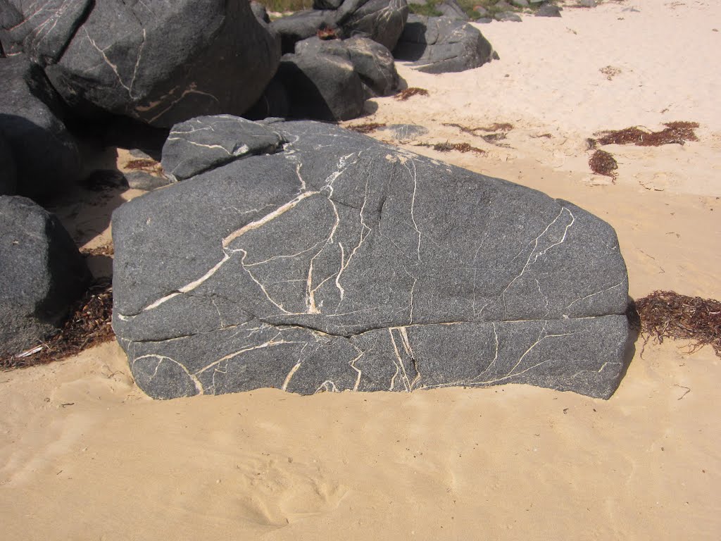
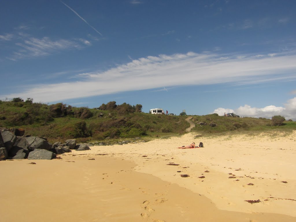
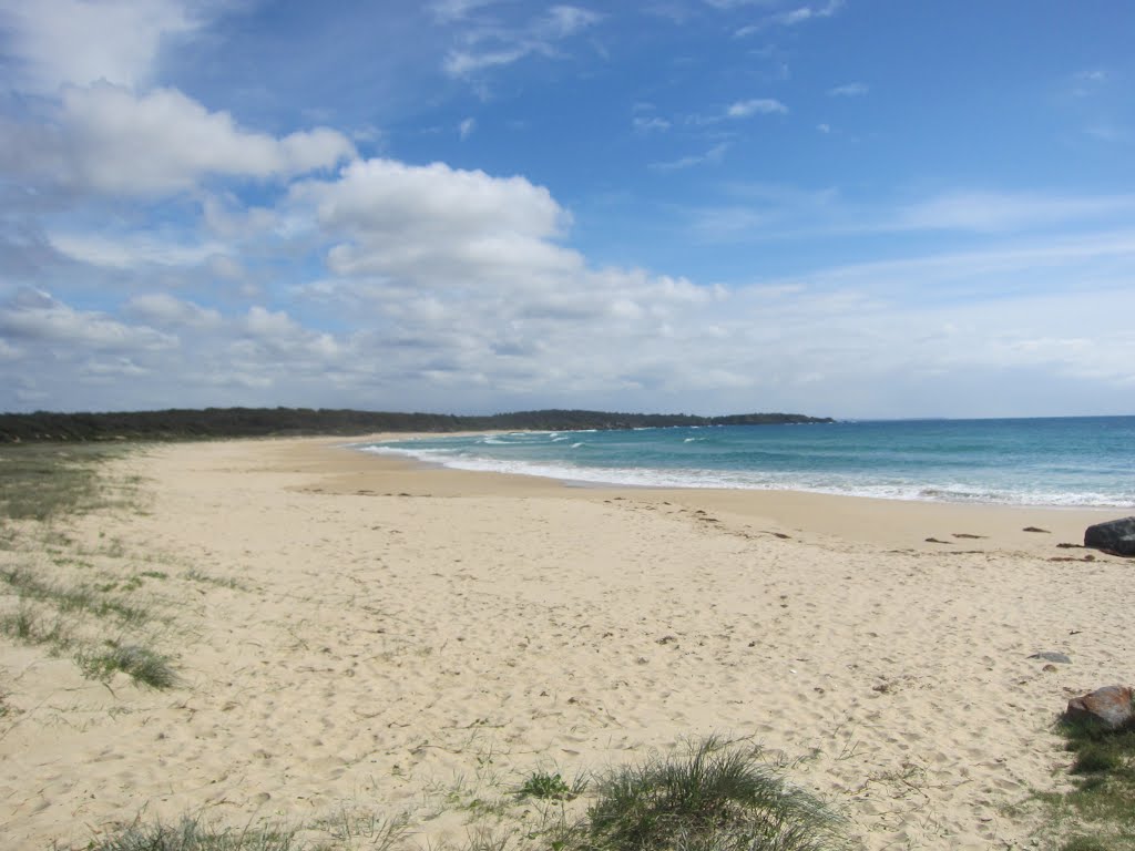
Photos of Shoalhaven Heads
Shoalhaven Heads Weather

Predicción: Broken clouds
Temperatura: 20.8°
Humedad: 77%
Hora actual: 03:30 PM
Amanece: 06:23 AM
Anochece: 05:29 PM
Shipley, Australia
Latitude: -33.6578 // Longitude: 150.267
Photos of Shipley
Shipley Weather

Predicción: Few clouds
Temperatura: 16.1°
Humedad: 53%
Hora actual: 03:30 PM
Amanece: 06:23 AM
Anochece: 05:32 PM


