Distance between  Shady Creek and
  Taggerty
58.15 mi Straight Distance
91.24 mi Driving Distance
2 hours 7 mins Estimated Driving Time
The straight distance between Shady Creek (Victoria) and Taggerty (Victoria) is 58.15 mi, but the driving distance is 91.24 mi.
It takes to go from Shady Creek to Taggerty.
Driving directions from Shady Creek to Taggerty
Distance in kilometers
Straight distance: 93.56 km. Route distance: 146.80 km
Shady Creek, Australia
Latitude: -38.1184 // Longitude: 146.054
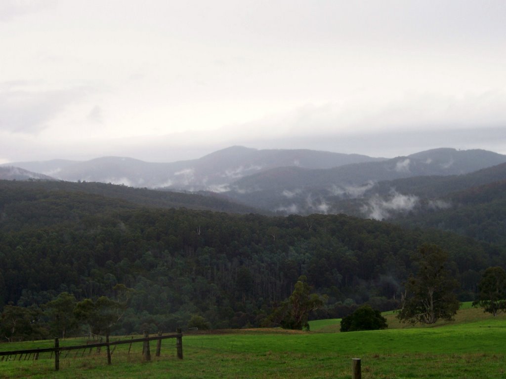
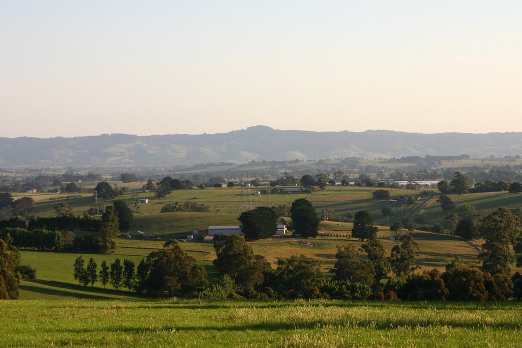
Photos of Shady Creek
Shady Creek Weather

Predicción: Broken clouds
Temperatura: 13.2°
Humedad: 88%
Hora actual: 05:17 PM
Amanece: 06:43 AM
Anochece: 05:47 PM
Taggerty, Australia
Latitude: -37.3209 // Longitude: 145.714
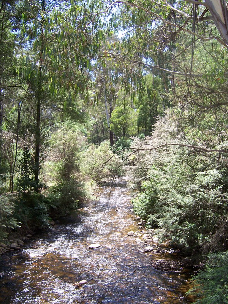
Photos of Taggerty
Taggerty Weather

Predicción: Clear sky
Temperatura: 17.8°
Humedad: 66%
Hora actual: 10:00 AM
Amanece: 06:44 AM
Anochece: 05:49 PM


