Distance between  Seymour and
  Shelford
93.70 mi Straight Distance
131.87 mi Driving Distance
2 hours 13 mins Estimated Driving Time
The straight distance between Seymour (Victoria) and Shelford (Victoria) is 93.70 mi, but the driving distance is 131.87 mi.
It takes to go from Seymour to Shelford.
Driving directions from Seymour to Shelford
Distance in kilometers
Straight distance: 150.76 km. Route distance: 212.18 km
Seymour, Australia
Latitude: -37.0245 // Longitude: 145.137
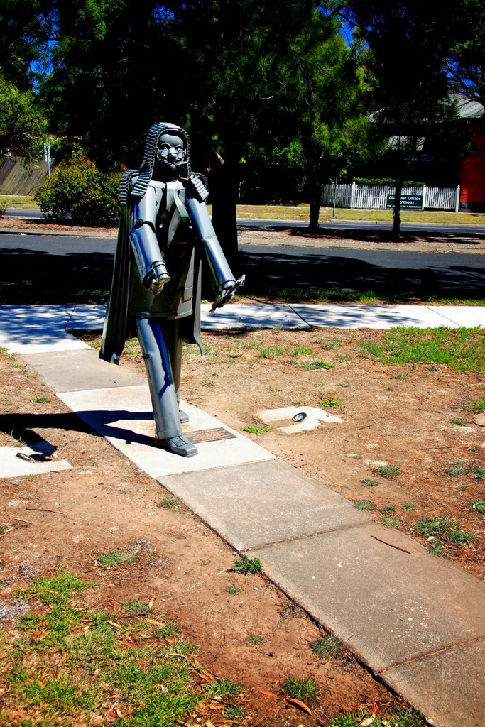
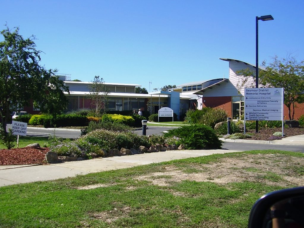
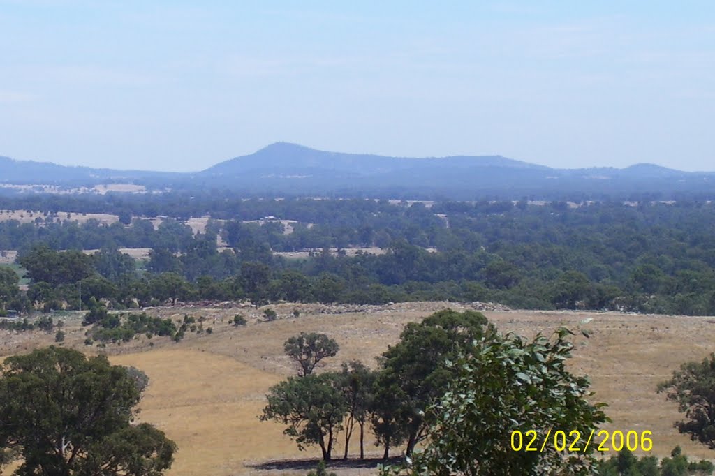
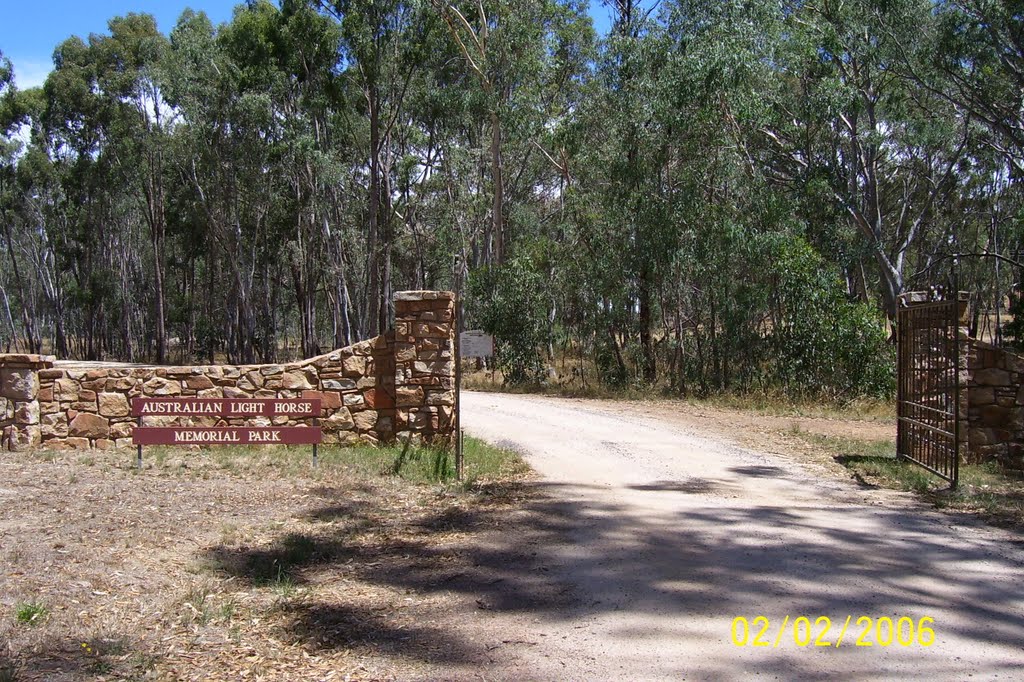
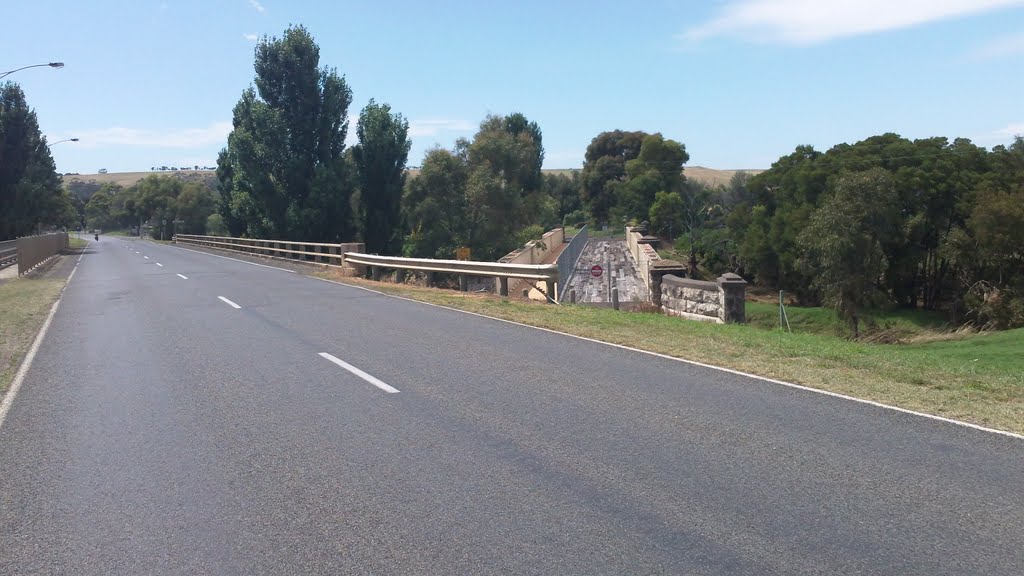
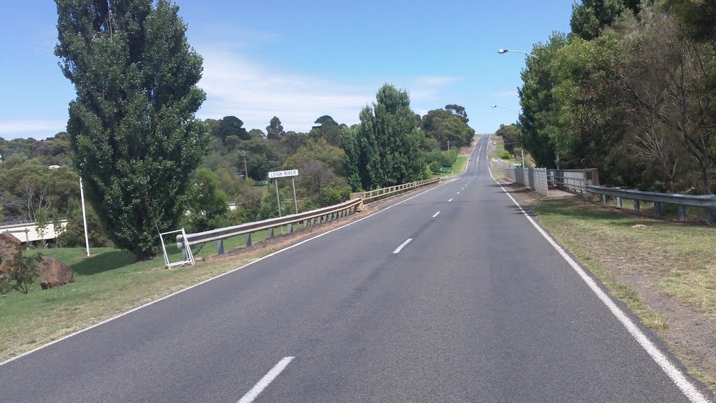
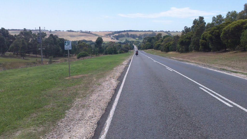
Photos of Seymour
Seymour Weather

Predicción: Scattered clouds
Temperatura: 12.0°
Humedad: 70%
Hora actual: 10:13 AM
Amanece: 06:48 AM
Anochece: 05:48 PM
Shelford, Australia
Latitude: -38.0119 // Longitude: 143.965
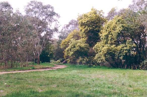
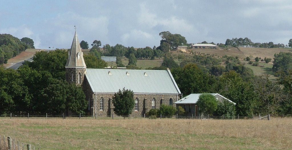
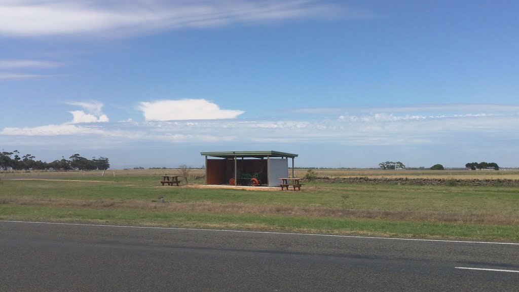
Photos of Shelford
Shelford Weather

Predicción: Broken clouds
Temperatura: 13.4°
Humedad: 65%
Hora actual: 10:13 AM
Amanece: 06:54 AM
Anochece: 05:51 PM


