Distance between  Sedgwick and
  Kerang
81.62 mi Straight Distance
88.91 mi Driving Distance
1 hour 42 mins Estimated Driving Time
The straight distance between Sedgwick (Victoria) and Kerang (Victoria) is 81.62 mi, but the driving distance is 88.91 mi.
It takes 1 hour 41 mins to go from Sedgwick to Kerang.
Driving directions from Sedgwick to Kerang
Distance in kilometers
Straight distance: 131.33 km. Route distance: 143.06 km
Sedgwick, Australia
Latitude: -36.8716 // Longitude: 144.315
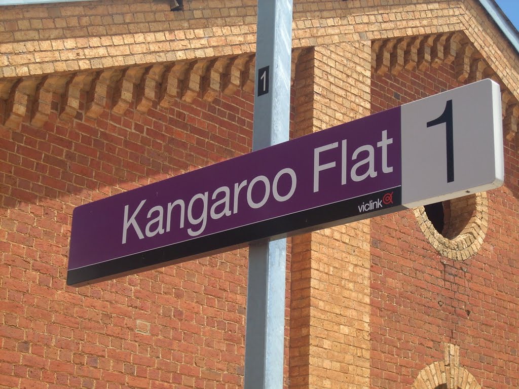
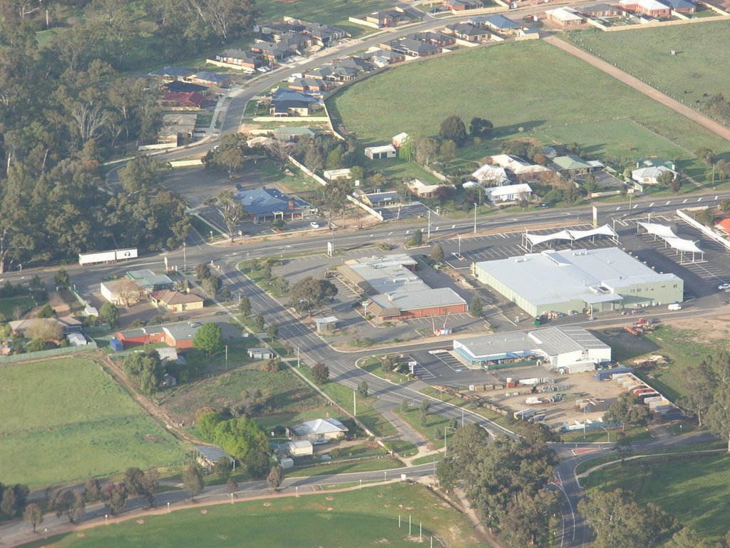
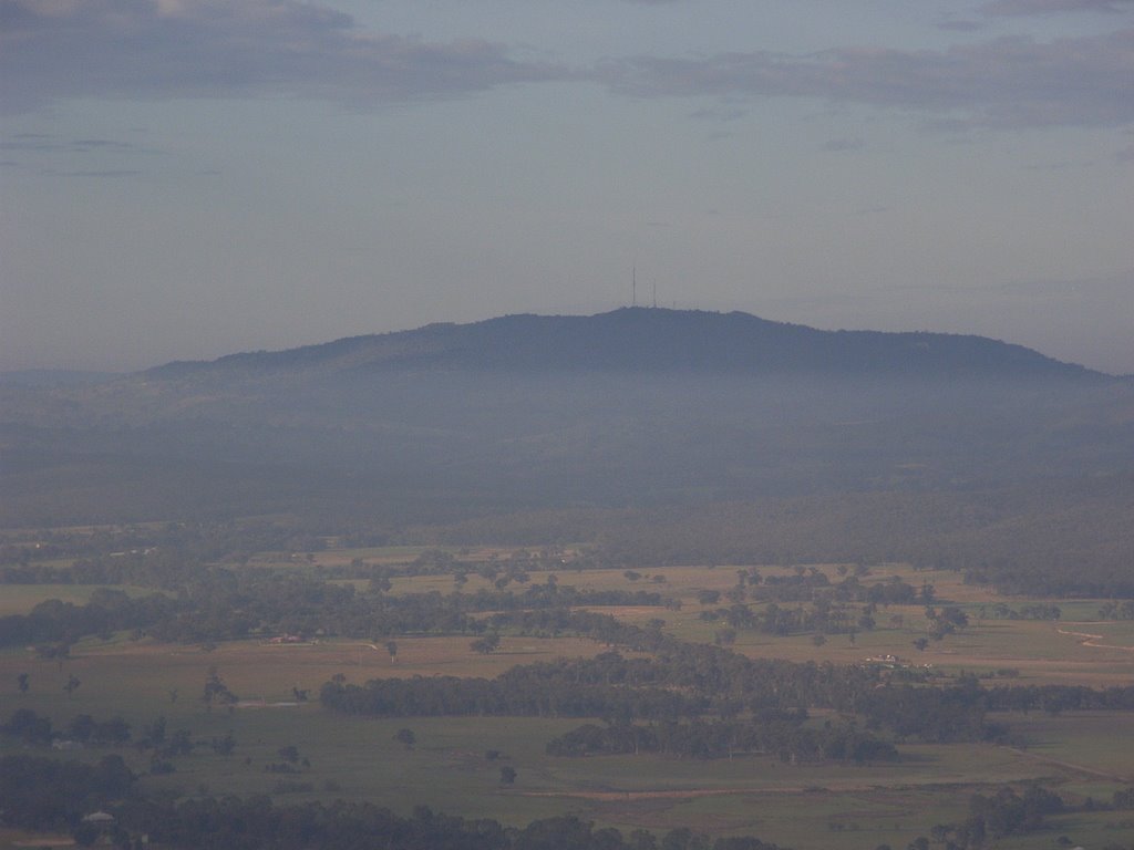
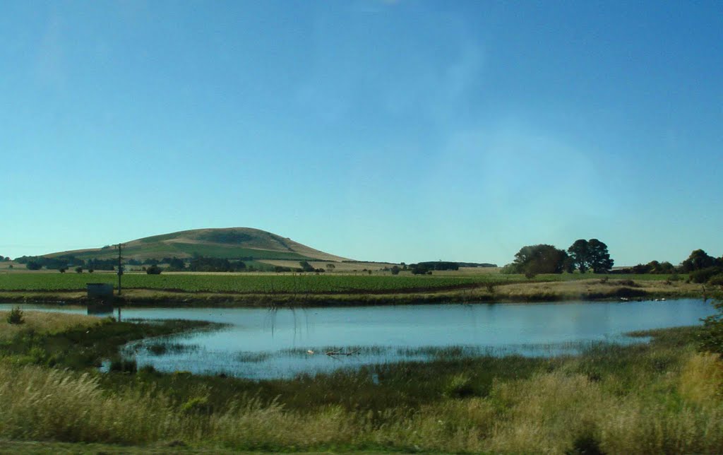
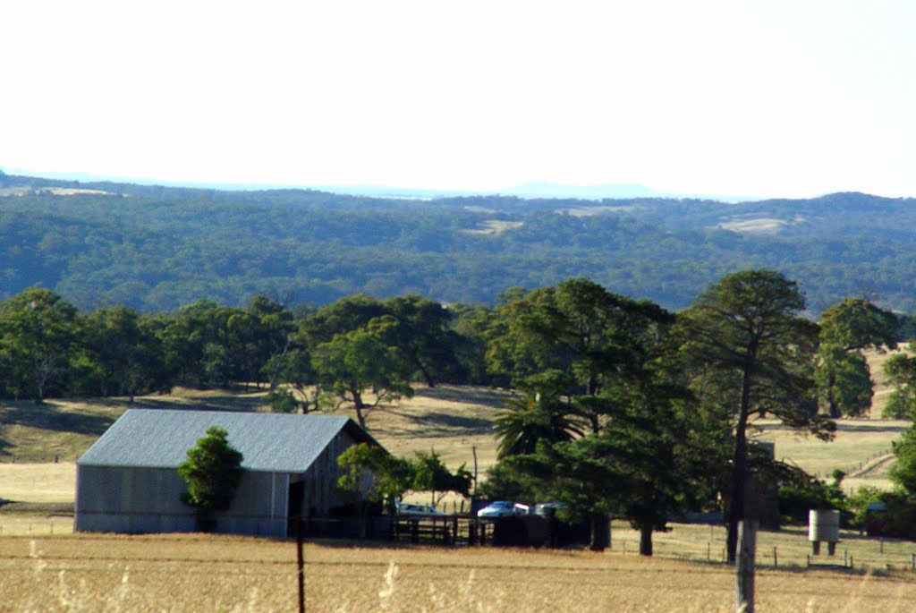
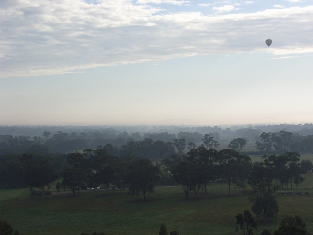
Photos of Sedgwick
Sedgwick Weather

Predicción: Broken clouds
Temperatura: 16.8°
Humedad: 44%
Hora actual: 12:41 PM
Amanece: 06:51 AM
Anochece: 05:52 PM
Kerang, Australia
Latitude: -35.734 // Longitude: 143.92
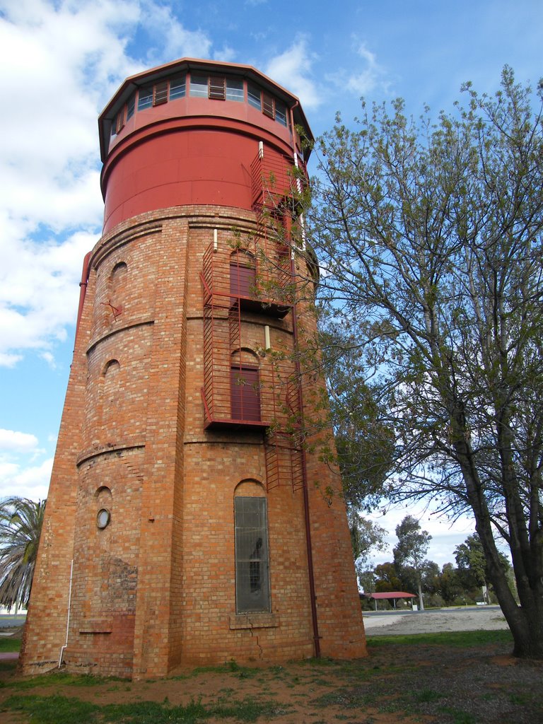
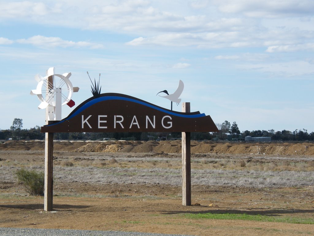
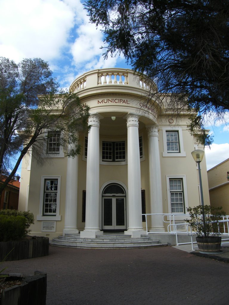
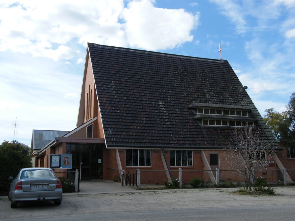
Photos of Kerang
Kerang Weather

Predicción: Clear sky
Temperatura: 19.2°
Humedad: 38%
Hora actual: 12:41 PM
Amanece: 06:51 AM
Anochece: 05:55 PM


