Distance between  Sebastopol and
  Lowanna
435.46 mi Straight Distance
613.26 mi Driving Distance
10 hours 8 mins Estimated Driving Time
The straight distance between Sebastopol (New South Wales) and Lowanna (New South Wales) is 435.46 mi, but the driving distance is 613.26 mi.
It takes to go from Sebastopol to Lowanna.
Driving directions from Sebastopol to Lowanna
Distance in kilometers
Straight distance: 700.65 km. Route distance: 986.73 km
Sebastopol, Australia
Latitude: -34.5851 // Longitude: 147.522
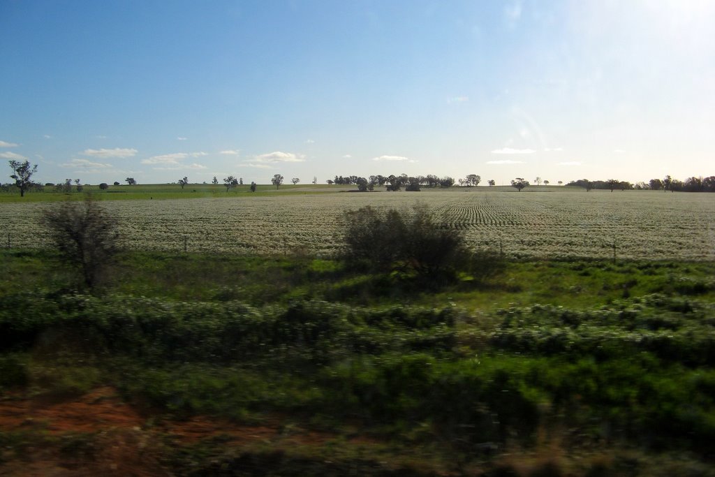
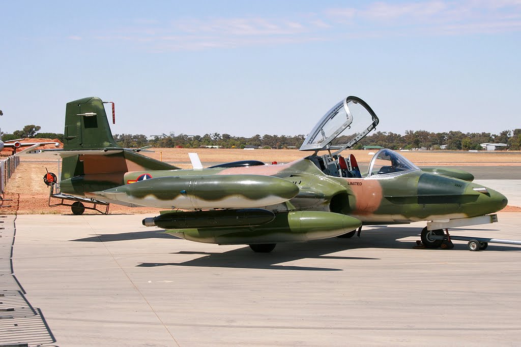
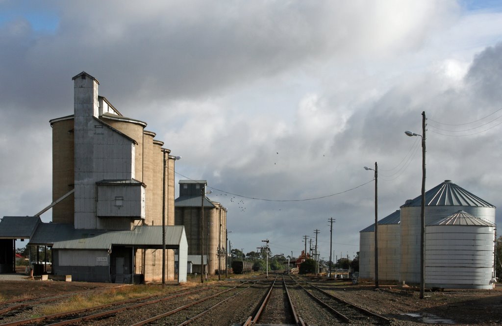
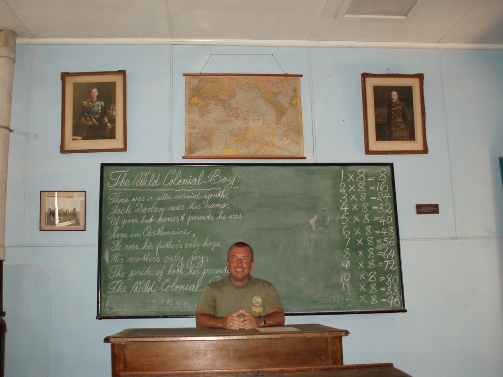
Photos of Sebastopol
Sebastopol Weather

Predicción: Clear sky
Temperatura: 10.3°
Humedad: 64%
Hora actual: 12:00 AM
Amanece: 08:34 PM
Anochece: 07:44 AM
Lowanna, Australia
Latitude: -30.2107 // Longitude: 152.899
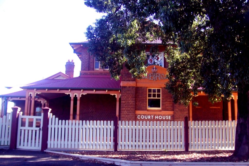
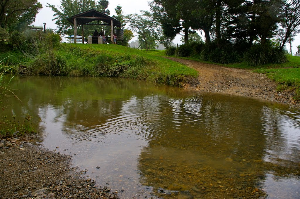
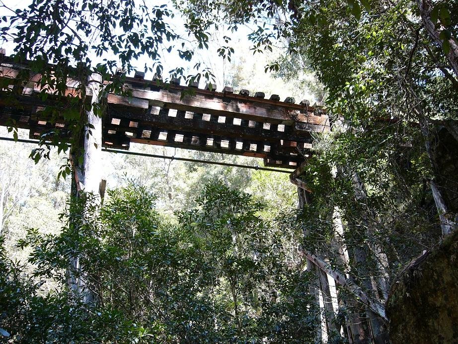
Photos of Lowanna
Lowanna Weather

Predicción: Light rain
Temperatura: 12.5°
Humedad: 98%
Hora actual: 12:00 AM
Amanece: 08:08 PM
Anochece: 07:27 AM


