Distance between  Sea Elephant and
  Pegarah
8.61 mi Straight Distance
12.76 mi Driving Distance
12 minutes Estimated Driving Time
The straight distance between Sea Elephant (Tasmania) and Pegarah (Tasmania) is 8.61 mi, but the driving distance is 12.76 mi.
It takes to go from Sea Elephant to Pegarah.
Driving directions from Sea Elephant to Pegarah
Distance in kilometers
Straight distance: 13.85 km. Route distance: 20.54 km
Sea Elephant, Australia
Latitude: -39.8271 // Longitude: 144.057
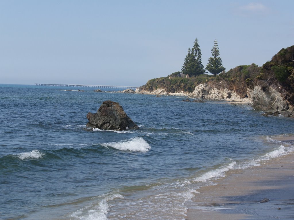
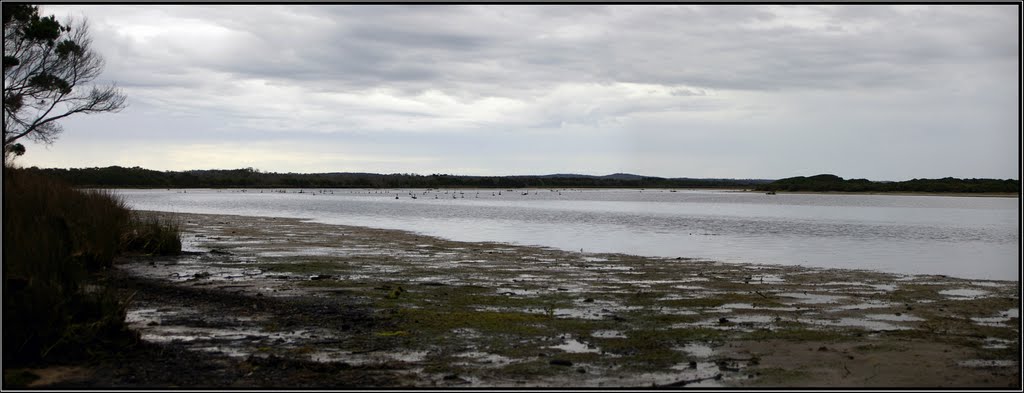
Photos of Sea Elephant
Sea Elephant Weather

Predicción: Overcast clouds
Temperatura: 12.8°
Humedad: 78%
Hora actual: 12:00 AM
Amanece: 08:56 PM
Anochece: 07:49 AM
Pegarah, Australia
Latitude: -39.9429 // Longitude: 143.997
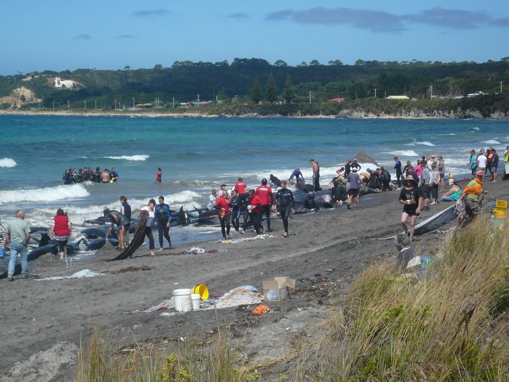
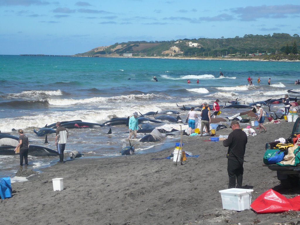
Photos of Pegarah
Pegarah Weather

Predicción: Overcast clouds
Temperatura: 12.5°
Humedad: 79%
Hora actual: 12:00 AM
Amanece: 08:56 PM
Anochece: 07:49 AM


