Distance between  Scottville and
  Kalbar
592.12 mi Straight Distance
812.18 mi Driving Distance
14 hours 15 mins Estimated Driving Time
The straight distance between Scottville (Queensland) and Kalbar (Queensland) is 592.12 mi, but the driving distance is 812.18 mi.
It takes to go from Scottville to Kalbar.
Driving directions from Scottville to Kalbar
Distance in kilometers
Straight distance: 952.73 km. Route distance: 1,306.80 km
Scottville, Australia
Latitude: -20.5662 // Longitude: 147.833
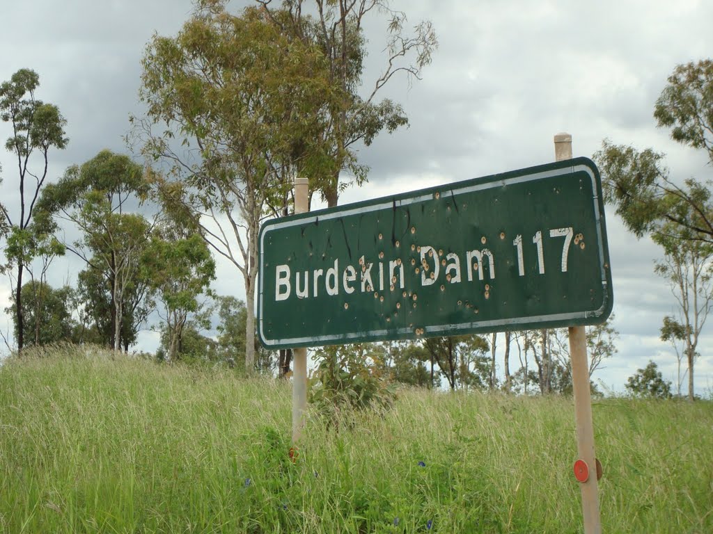
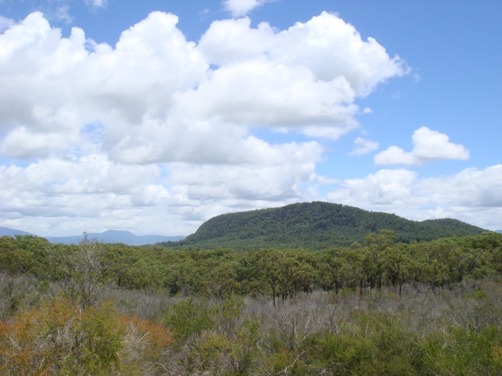
Photos of Scottville
Scottville Weather

Predicción: Overcast clouds
Temperatura: 24.2°
Humedad: 78%
Hora actual: 07:14 PM
Amanece: 06:20 AM
Anochece: 05:54 PM
Kalbar, Australia
Latitude: -27.9429 // Longitude: 152.623
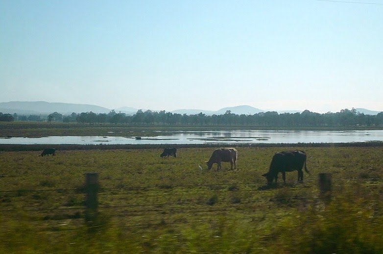
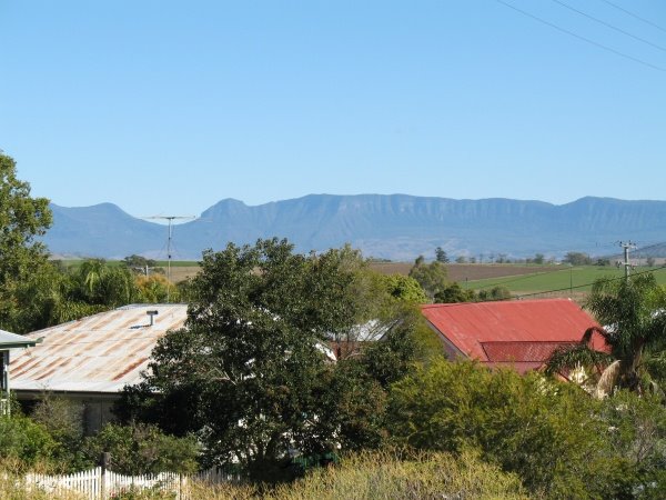
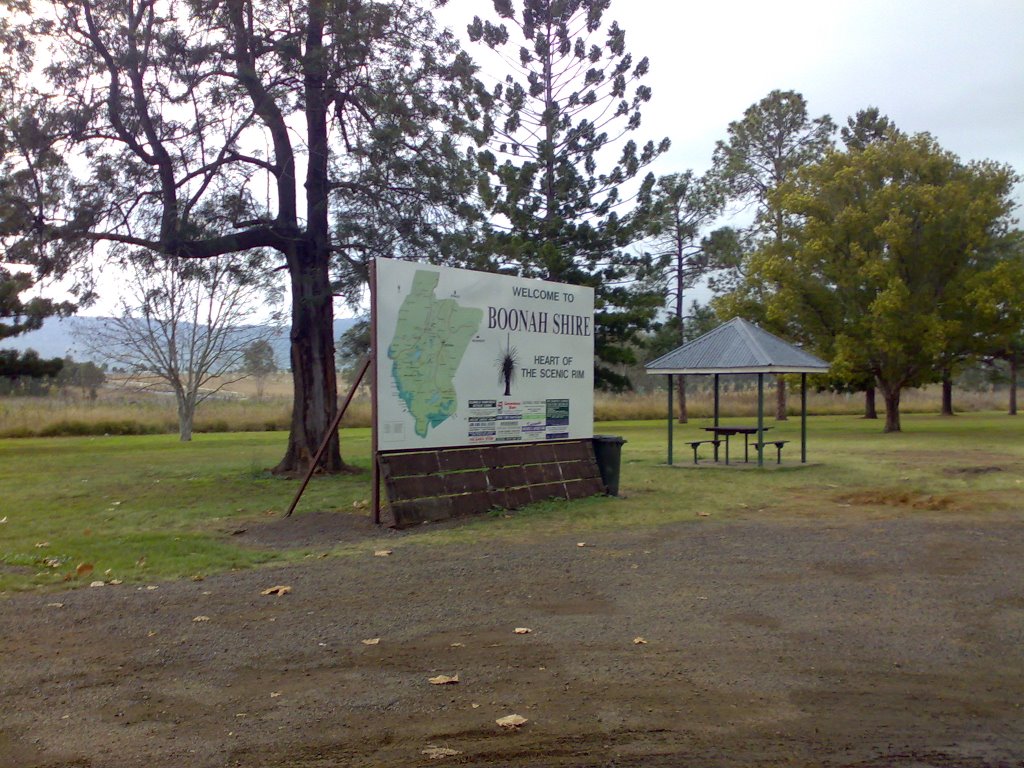
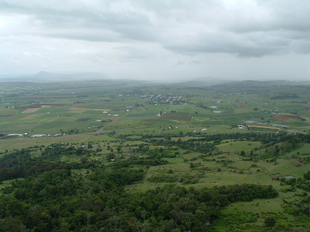
Photos of Kalbar
Kalbar Weather

Predicción: Broken clouds
Temperatura: 21.3°
Humedad: 93%
Hora actual: 07:14 PM
Amanece: 06:08 AM
Anochece: 05:29 PM


