Distance between  Savage River and
  Gowrie Park
51.63 mi Straight Distance
75.65 mi Driving Distance
1 hour 59 mins Estimated Driving Time
The straight distance between Savage River (Tasmania) and Gowrie Park (Tasmania) is 51.63 mi, but the driving distance is 75.65 mi.
It takes to go from Savage River to Gowrie Park.
Driving directions from Savage River to Gowrie Park
Distance in kilometers
Straight distance: 83.07 km. Route distance: 121.72 km
Savage River, Australia
Latitude: -41.5117 // Longitude: 145.219
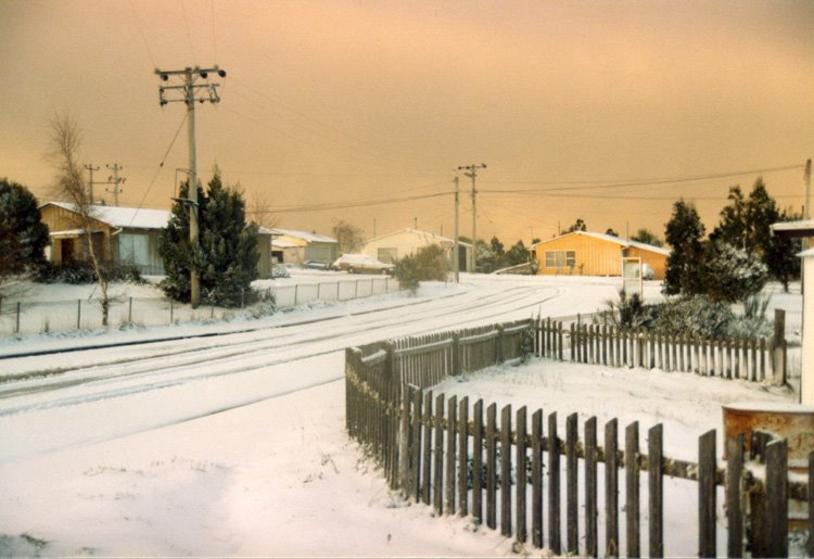
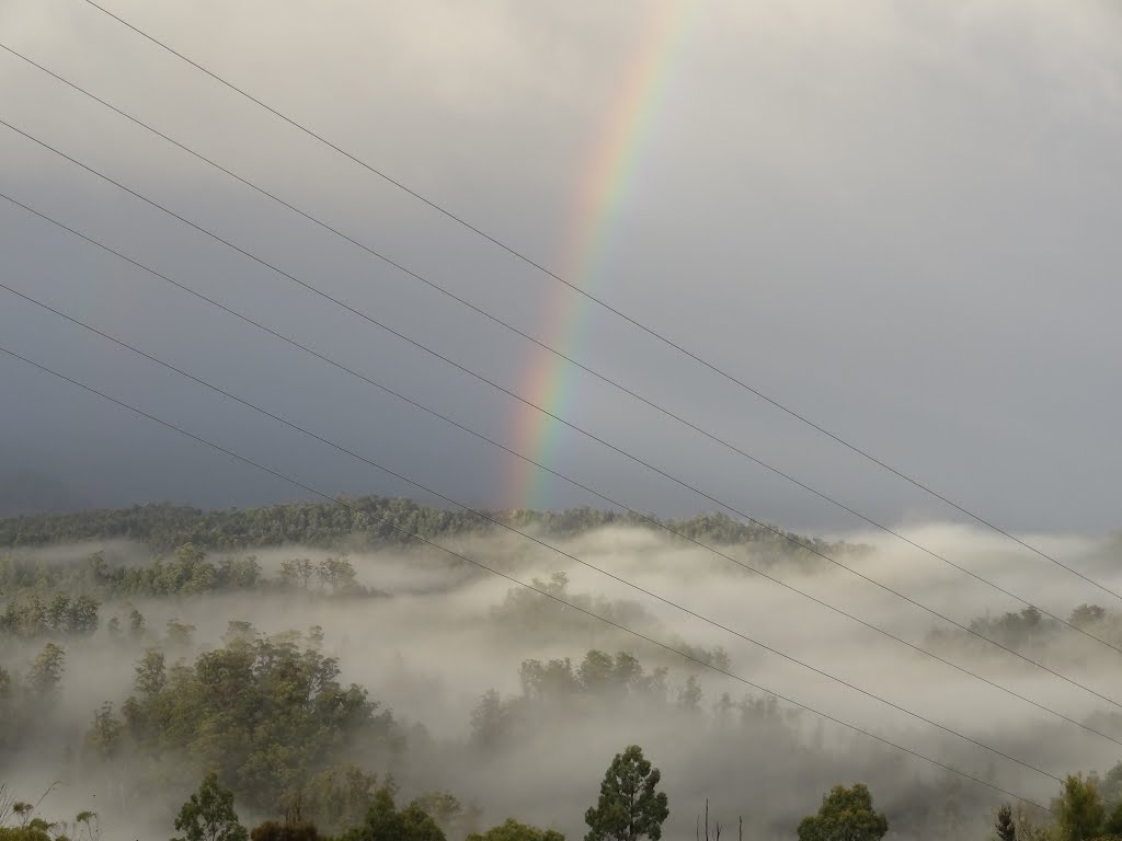
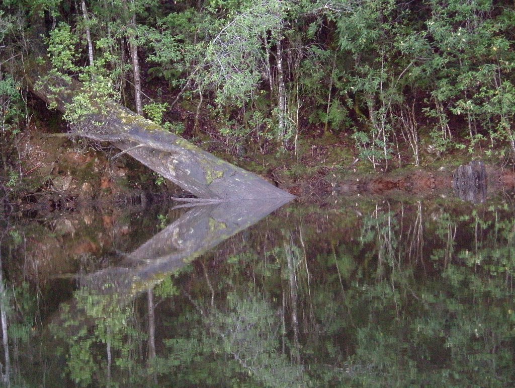
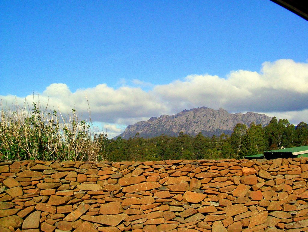
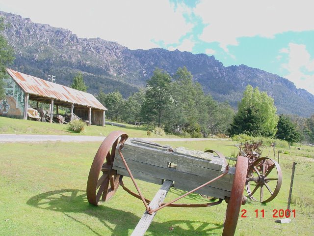
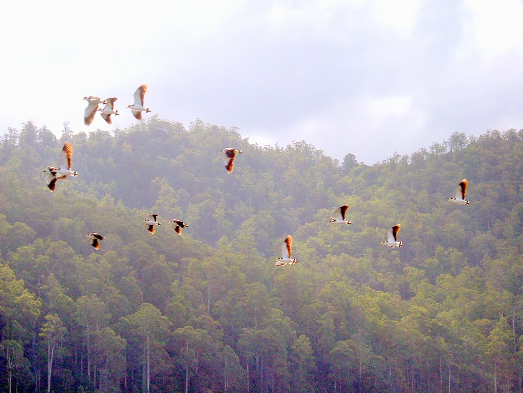
Photos of Savage River
Savage River Weather

Predicción: Overcast clouds
Temperatura: 7.1°
Humedad: 80%
Hora actual: 12:00 AM
Amanece: 08:51 PM
Anochece: 07:45 AM
Gowrie Park, Australia
Latitude: -41.4699 // Longitude: 146.215
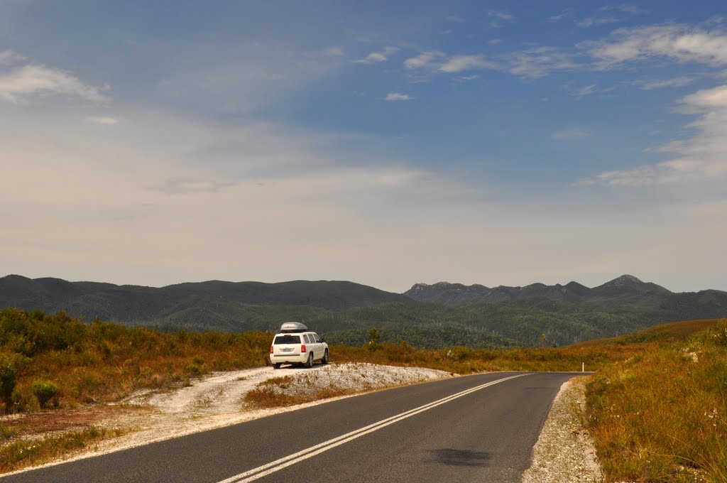
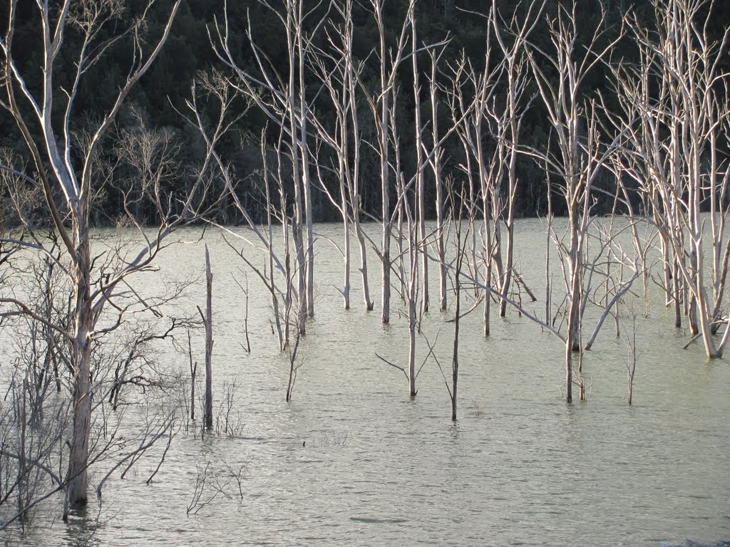
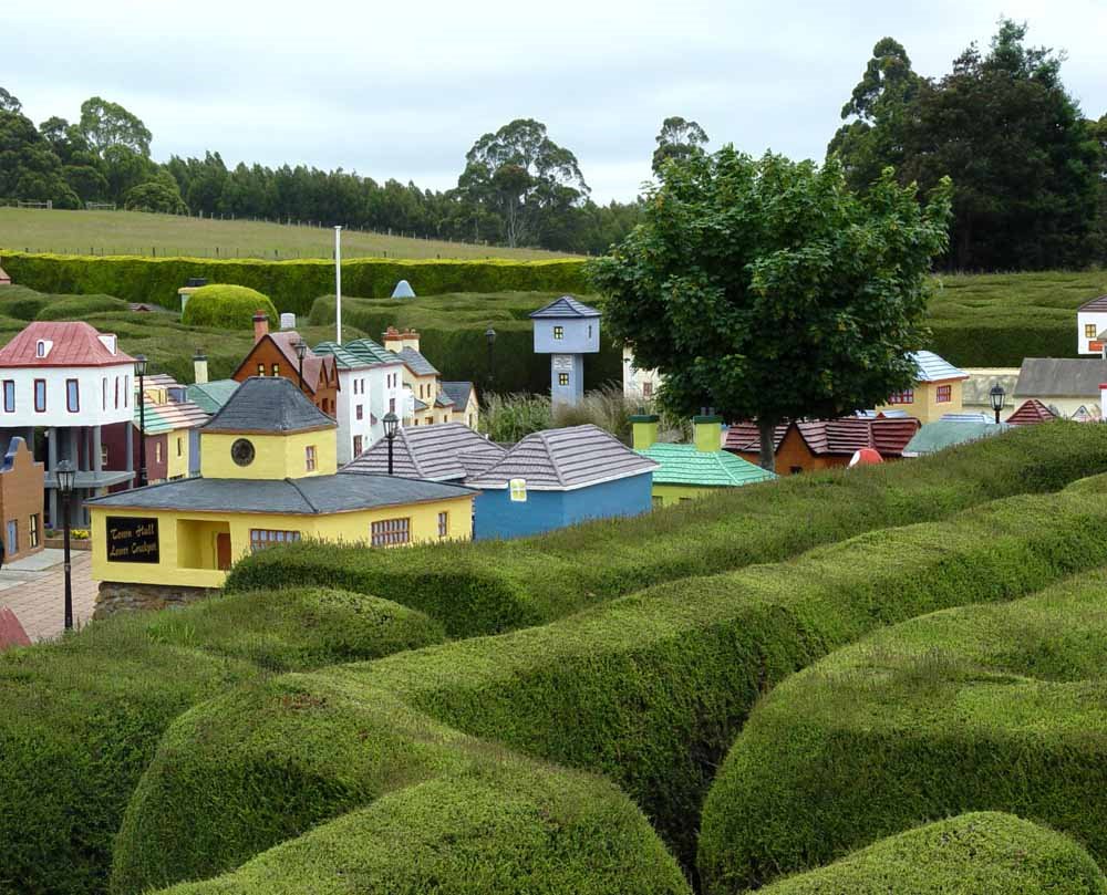
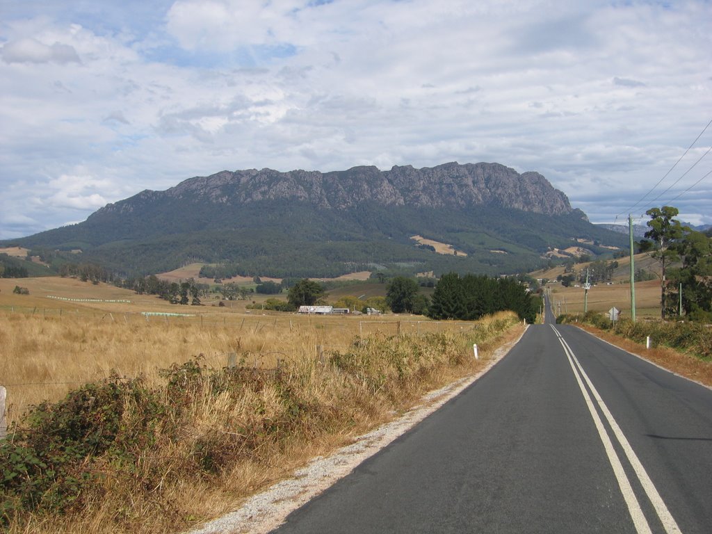
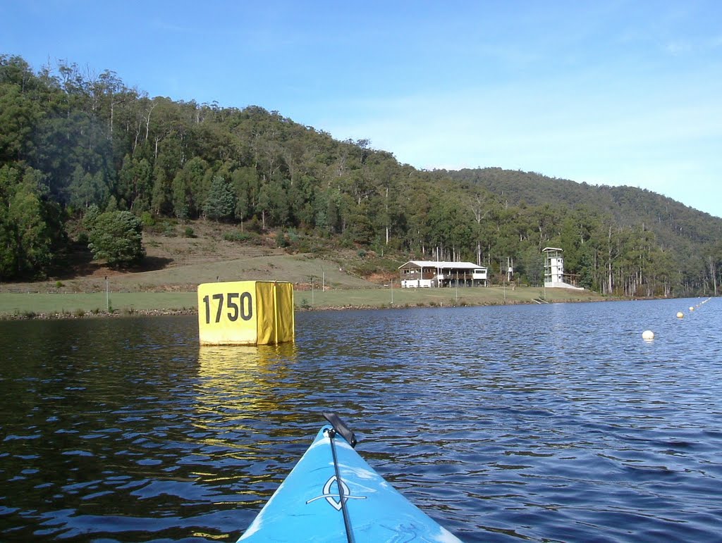
Photos of Gowrie Park
Gowrie Park Weather

Predicción: Overcast clouds
Temperatura: 8.0°
Humedad: 74%
Hora actual: 12:00 AM
Amanece: 08:47 PM
Anochece: 07:42 AM


