Distance between  Sargood and
  Pootilla
151.67 mi Straight Distance
260.82 mi Driving Distance
7 hours 7 mins Estimated Driving Time
The straight distance between Sargood (Victoria) and Pootilla (Victoria) is 151.67 mi, but the driving distance is 260.82 mi.
It takes to go from Sargood to Pootilla.
Driving directions from Sargood to Pootilla
Distance in kilometers
Straight distance: 244.04 km. Route distance: 419.66 km
Sargood, Australia
Latitude: -37.5779 // Longitude: 146.736
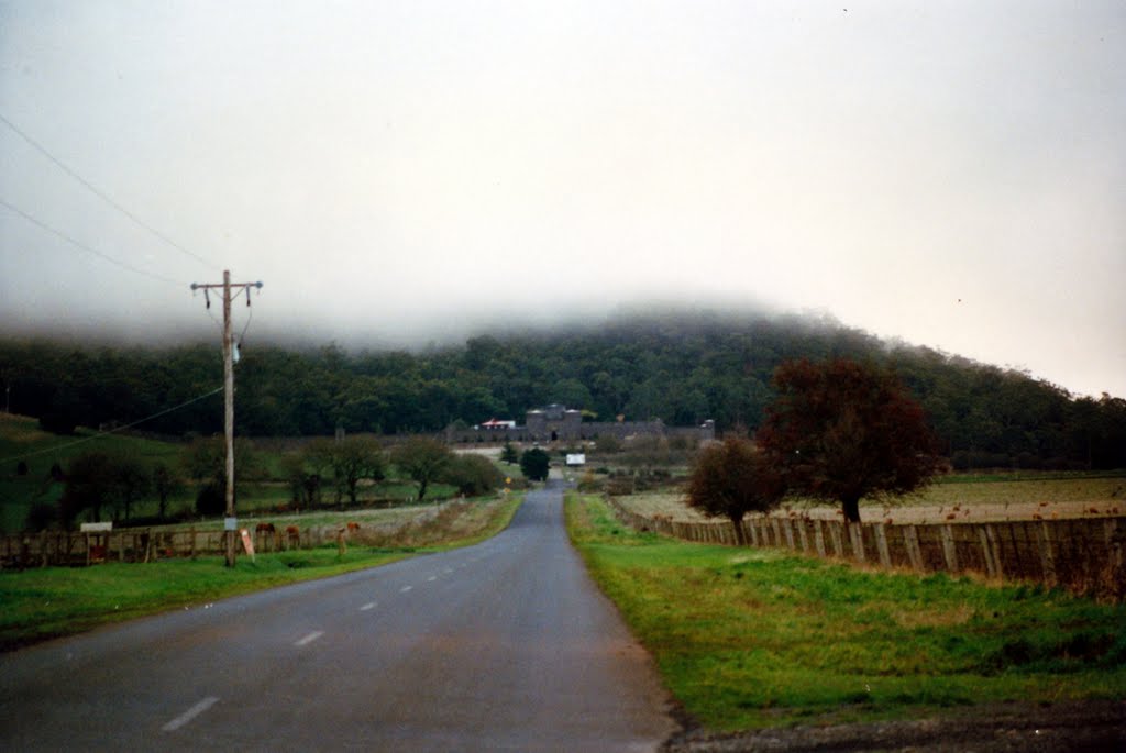
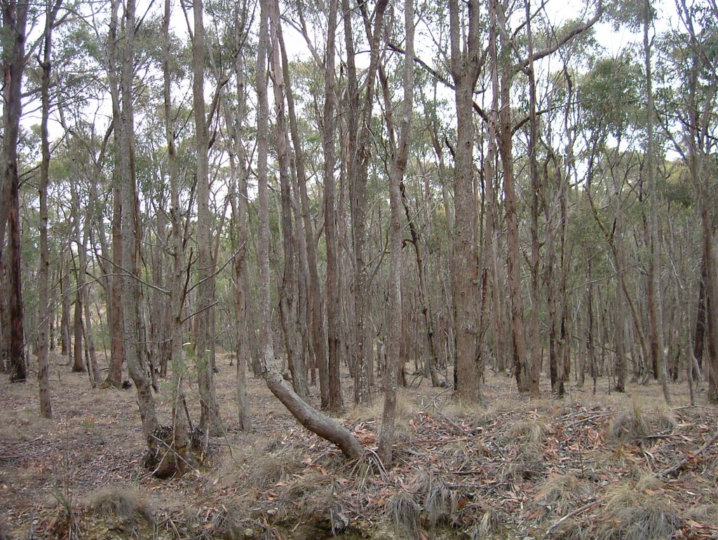
Photos of Sargood
Sargood Weather

Predicción: Broken clouds
Temperatura: 10.3°
Humedad: 98%
Hora actual: 12:00 AM
Amanece: 08:40 PM
Anochece: 07:44 AM
Pootilla, Australia
Latitude: -37.5227 // Longitude: 143.968
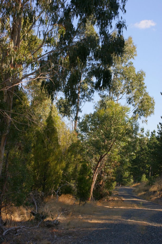
Photos of Pootilla
Pootilla Weather

Predicción: Overcast clouds
Temperatura: 9.4°
Humedad: 89%
Hora actual: 08:17 PM
Amanece: 06:51 AM
Anochece: 05:56 PM


