Distance between  Sapphire and
  Boyne Island
232.19 mi Straight Distance
277.17 mi Driving Distance
5 hours 3 mins Estimated Driving Time
The straight distance between Sapphire (Queensland) and Boyne Island (Queensland) is 232.19 mi, but the driving distance is 277.17 mi.
It takes 5 hours 20 mins to go from Sapphire to Boyne Island.
Driving directions from Sapphire to Boyne Island
Distance in kilometers
Straight distance: 373.60 km. Route distance: 445.96 km
Sapphire, Australia
Latitude: -23.4636 // Longitude: 147.721
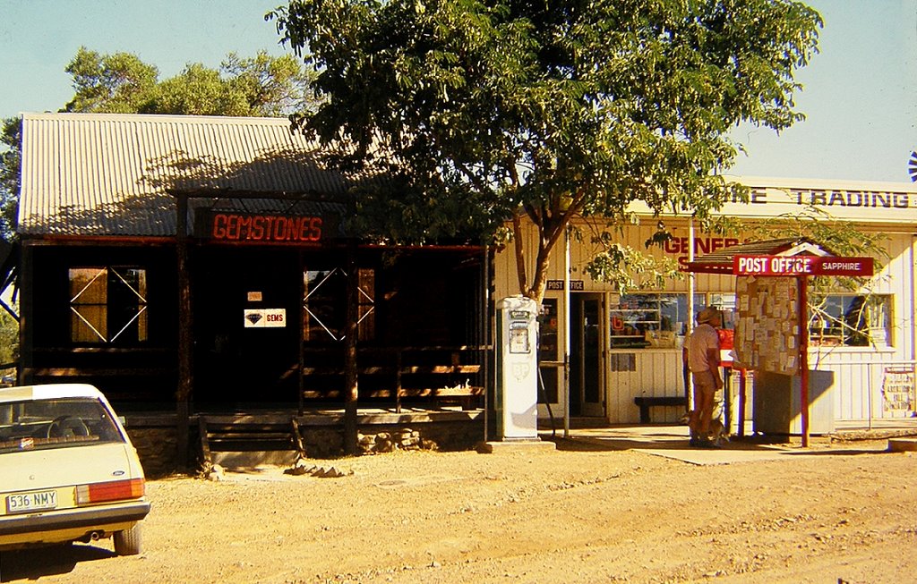
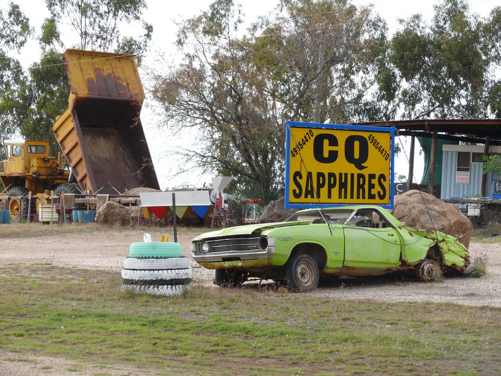
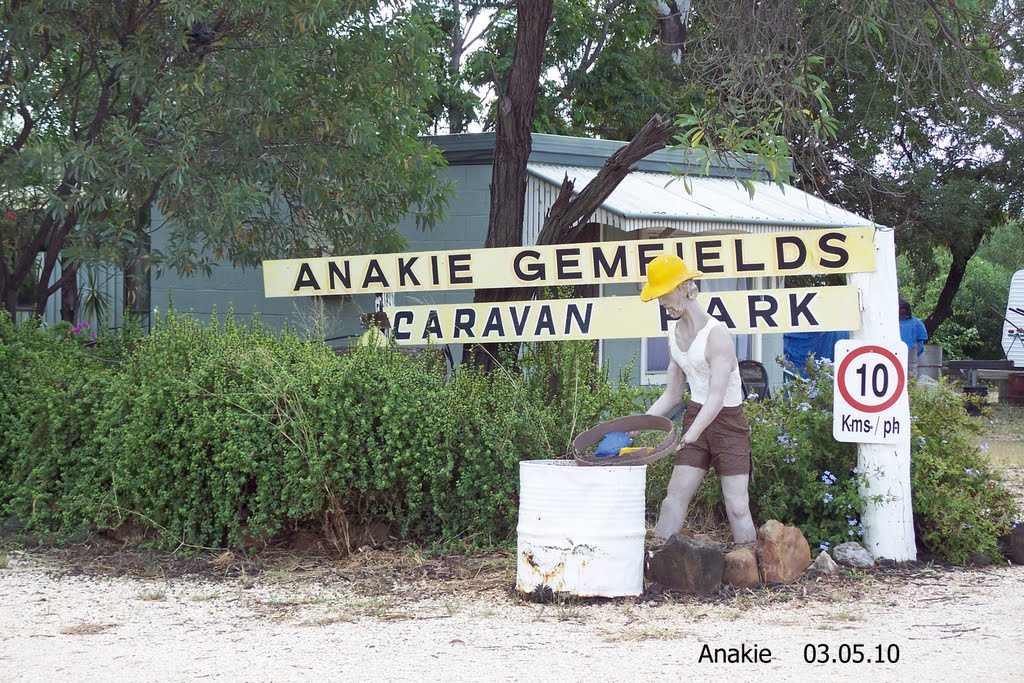
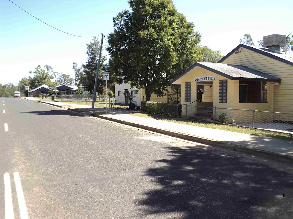
Photos of Sapphire
Sapphire Weather

Predicción: Clear sky
Temperatura: 19.2°
Humedad: 84%
Hora actual: 03:11 AM
Amanece: 06:23 AM
Anochece: 05:53 PM
Boyne Island, Australia
Latitude: -23.9482 // Longitude: 151.353
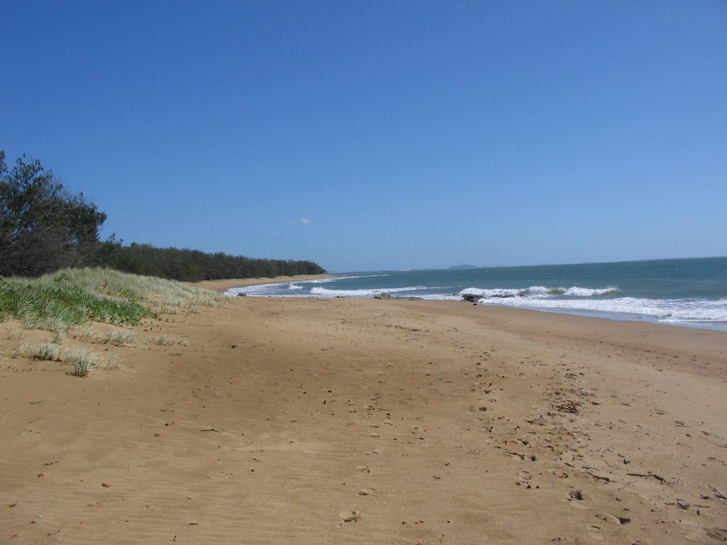
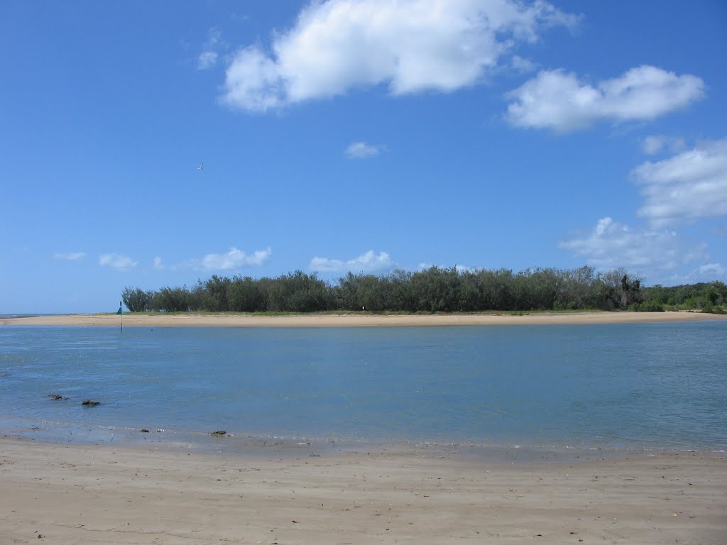
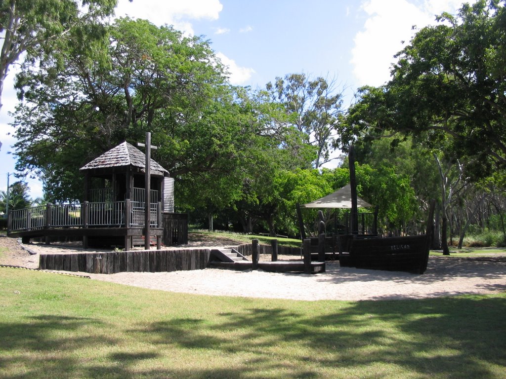
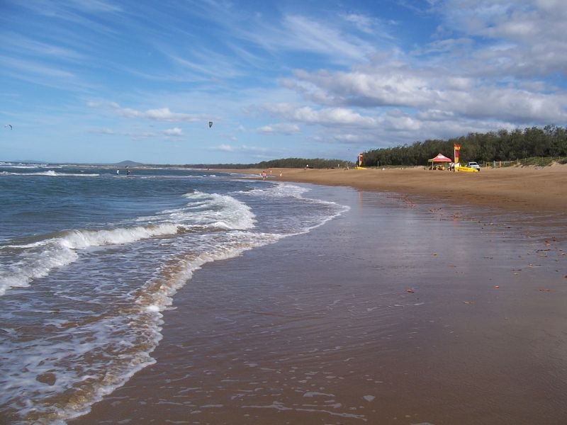
Photos of Boyne Island
Boyne Island Weather

Predicción: Broken clouds
Temperatura: 21.0°
Humedad: 94%
Hora actual: 03:11 AM
Amanece: 06:09 AM
Anochece: 05:38 PM


